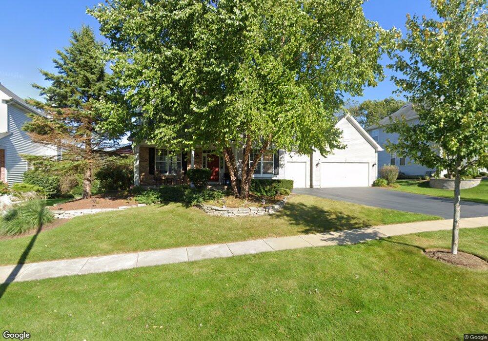
3843 Parsons Rd Carpentersville, IL 60110
Estimated Value: $524,492 - $575,000
4
Beds
--
Bath
2,800
Sq Ft
$198/Sq Ft
Est. Value
About This Home
This home is located at 3843 Parsons Rd, Carpentersville, IL 60110 and is currently estimated at $555,123, approximately $198 per square foot. 3843 Parsons Rd is a home located in Kane County with nearby schools including Liberty Elementary School, Dundee Middle School, and Harry D Jacobs High School.
Ownership History
Date
Name
Owned For
Owner Type
Purchase Details
Closed on
Jan 25, 2001
Sold by
Chestnut Woods Development Corp
Bought by
Uner Eric and Uner Linda
Current Estimated Value
Home Financials for this Owner
Home Financials are based on the most recent Mortgage that was taken out on this home.
Original Mortgage
$263,700
Outstanding Balance
$96,250
Interest Rate
7.22%
Estimated Equity
$458,873
Create a Home Valuation Report for This Property
The Home Valuation Report is an in-depth analysis detailing your home's value as well as a comparison with similar homes in the area
Home Values in the Area
Average Home Value in this Area
Purchase History
| Date | Buyer | Sale Price | Title Company |
|---|---|---|---|
| Uner Eric | $310,500 | Fox Title Company |
Source: Public Records
Mortgage History
| Date | Status | Borrower | Loan Amount |
|---|---|---|---|
| Open | Uner Eric | $263,700 |
Source: Public Records
Tax History Compared to Growth
Tax History
| Year | Tax Paid | Tax Assessment Tax Assessment Total Assessment is a certain percentage of the fair market value that is determined by local assessors to be the total taxable value of land and additions on the property. | Land | Improvement |
|---|---|---|---|---|
| 2024 | $10,592 | $147,854 | $29,541 | $118,313 |
| 2023 | $10,506 | $133,034 | $26,580 | $106,454 |
| 2022 | $10,583 | $127,544 | $26,580 | $100,964 |
| 2021 | $10,366 | $120,427 | $25,097 | $95,330 |
| 2020 | $10,206 | $117,720 | $24,533 | $93,187 |
| 2019 | $10,006 | $111,752 | $23,289 | $88,463 |
| 2018 | $10,203 | $108,810 | $30,927 | $77,883 |
| 2017 | $9,825 | $101,787 | $28,931 | $72,856 |
| 2016 | $9,976 | $98,554 | $28,012 | $70,542 |
| 2015 | -- | $92,348 | $26,248 | $66,100 |
| 2014 | -- | $89,798 | $25,523 | $64,275 |
| 2013 | -- | $92,546 | $26,304 | $66,242 |
Source: Public Records
Map
Nearby Homes
- 3835 Parsons Rd
- 3404 Green Pastures Rd
- 35W543 Miller Rd
- 6109 Dunroven Lakes Ct
- Lot 84 Spruce Dr
- Lot 83 Spruce Dr
- Lot 133 Walnut Dr
- Lot 132 Walnut Dr
- Lot 131 Walnut Dr
- Lot 129 Walnut Dr
- Lot 128 Walnut Dr
- Lot 108 Walnut Dr
- Lot 26 Walnut Dr
- Lot 24 Walnut Dr
- Lot 80 Ash Dr
- Lot 79 Ash Dr
- 36W461 Binnie Rd
- 6415 Grassmere Ln
- 7046 Nathan Ln
- 0000 State Route 31
- 3841 Parsons Rd
- 3845 Parsons Rd Unit 4
- 3839 Parsons Rd Unit 5
- 3847 Parsons Rd
- 3844 Parsons Rd
- 3842 Parsons Rd
- 3837 Parsons Rd
- 3846 Parsons Rd
- 3849 Parsons Rd Unit 4
- 3840 Parsons Rd
- 3848 Parsons Rd
- 3838 Parsons Rd
- 3911 Farmstead Ln Unit 5
- 3913 Farmstead Ln
- 3850 Parsons Rd
- 3909 Farmstead Ln
- 3833 Parsons Rd
- 3901 Farmstead Ln
- 3853 Parsons Rd
- 3903 Farmstead Ln