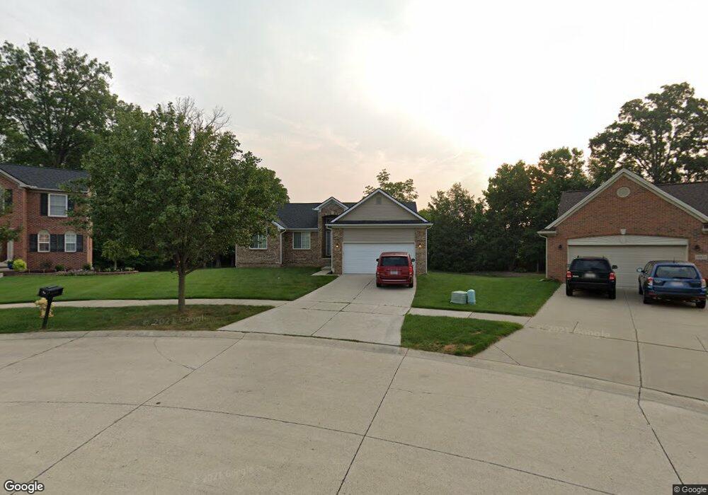
38444 Watson Cir Westland, MI 48186
Estimated Value: $342,000 - $406,000
3
Beds
2
Baths
1,619
Sq Ft
$222/Sq Ft
Est. Value
About This Home
This home is located at 38444 Watson Cir, Westland, MI 48186 and is currently estimated at $359,948, approximately $222 per square foot. 38444 Watson Cir is a home located in Wayne County with nearby schools including Adlai Stevenson Middle School, Wayne Memorial High School, and St Michael Lutheran School.
Ownership History
Date
Name
Owned For
Owner Type
Purchase Details
Closed on
May 25, 2007
Sold by
Breault Construction Inc
Bought by
Weston Antwone E
Current Estimated Value
Purchase Details
Closed on
Mar 23, 2007
Sold by
Orco Investments Inc
Bought by
Breault Construction Inc
Create a Home Valuation Report for This Property
The Home Valuation Report is an in-depth analysis detailing your home's value as well as a comparison with similar homes in the area
Home Values in the Area
Average Home Value in this Area
Purchase History
| Date | Buyer | Sale Price | Title Company |
|---|---|---|---|
| Weston Antwone E | $194,100 | Fidelity National Title Ins | |
| Breault Construction Inc | $42,000 | Greco |
Source: Public Records
Tax History Compared to Growth
Tax History
| Year | Tax Paid | Tax Assessment Tax Assessment Total Assessment is a certain percentage of the fair market value that is determined by local assessors to be the total taxable value of land and additions on the property. | Land | Improvement |
|---|---|---|---|---|
| 2025 | $3,739 | $171,200 | $0 | $0 |
| 2024 | $3,739 | $154,300 | $0 | $0 |
| 2023 | $3,571 | $157,500 | $0 | $0 |
| 2022 | $4,192 | $146,600 | $0 | $0 |
| 2021 | $4,087 | $125,500 | $0 | $0 |
| 2020 | $4,042 | $110,700 | $0 | $0 |
| 2019 | $3,895 | $105,800 | $0 | $0 |
| 2018 | $2,938 | $103,700 | $0 | $0 |
| 2017 | $1,451 | $95,800 | $0 | $0 |
| 2016 | $3,781 | $92,400 | $0 | $0 |
| 2015 | $7,271 | $91,220 | $0 | $0 |
| 2013 | $7,044 | $73,680 | $0 | $0 |
| 2012 | $3,106 | $73,460 | $0 | $0 |
Source: Public Records
Map
Nearby Homes
- 38185 Palmateer Rd
- 2601 Dagner Dr
- 38692 Watson Cir
- 1639 Tulip Ln
- 1786 Daisey Ln Unit 32
- 3020 Rivers Edge Dr
- 3018 Rivers Edge Dr N
- 00000 Avondale St
- 2610 Hannan Rd
- 2618 Hannan Rd
- 39258 Avondale St
- 3329 S Newburgh Rd
- 00 S Newburgh Rd
- 0 S Newburgh Rd
- 2268 Minerva St
- 39288 Nottingham St
- 44312 Wilmington Dr
- 2232 Wilshire St
- 477 Barchester St
- 3490 Hannan Rd
- 38456 Watson Cir
- 38432 Watson Cir
- 2281 Buchanan Ct Unit 133
- 2280 Buchanan Ct Unit 132
- 2260 Buchanan Ct Unit 131
- 2261 Buchanan Ct
- 38468 Watson Cir
- 38420 Watson Cir
- 38329 S Williams Cir Unit 108
- 2241 Buchanan Ct Unit 135
- 38465 Watson Cir
- 38490 Watson Cir
- 38408 Watson Cir
- 2221 Buchanan Ct
- 38317 S Williams Cir Unit 109
- 38370 Shelby Dr
- 2110 W Williams Cir
- 38487 Watson Cir
- 2220 Buchanan Ct Unit 129
- 38512 Watson Cir