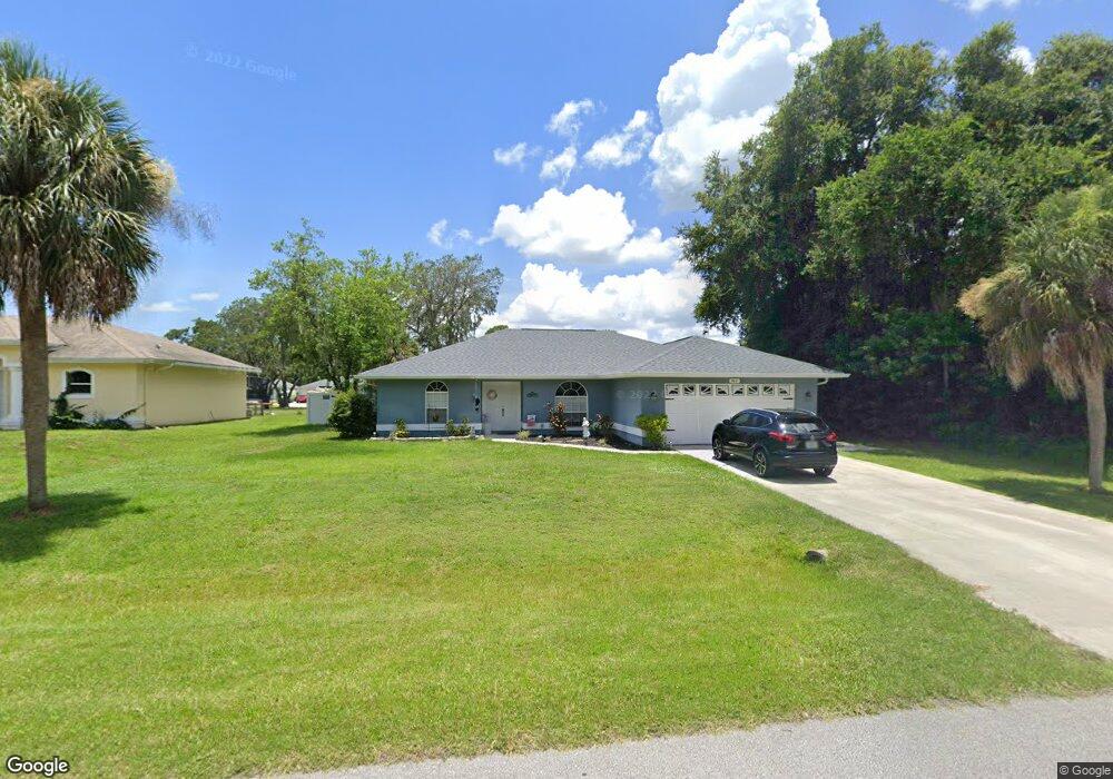
3845 Lothair Ave North Port, FL 34287
Estimated Value: $296,000 - $350,000
3
Beds
2
Baths
1,685
Sq Ft
$194/Sq Ft
Est. Value
About This Home
This home is located at 3845 Lothair Ave, North Port, FL 34287 and is currently estimated at $326,598, approximately $193 per square foot. 3845 Lothair Ave is a home located in Sarasota County with nearby schools including North Port High School, Cranberry Elementary School, and Heron Creek Middle School.
Ownership History
Date
Name
Owned For
Owner Type
Purchase Details
Closed on
Apr 24, 2021
Sold by
Burkhart Donald J
Bought by
Burkhart Donald J and Burkhart Christina
Current Estimated Value
Purchase Details
Closed on
Sep 26, 2003
Sold by
Burkhart Doreen A
Bought by
Burkhart Donald J
Purchase Details
Closed on
Dec 20, 1996
Sold by
Henning Timothy J and Henning Connie S
Bought by
Burkhart Donald J and Burkhart Doreen A
Home Financials for this Owner
Home Financials are based on the most recent Mortgage that was taken out on this home.
Original Mortgage
$75,600
Interest Rate
7.65%
Create a Home Valuation Report for This Property
The Home Valuation Report is an in-depth analysis detailing your home's value as well as a comparison with similar homes in the area
Home Values in the Area
Average Home Value in this Area
Purchase History
| Date | Buyer | Sale Price | Title Company |
|---|---|---|---|
| Burkhart Donald J | -- | Accommodation | |
| Burkhart Donald J | -- | -- | |
| Burkhart Donald J | $85,000 | -- |
Source: Public Records
Mortgage History
| Date | Status | Borrower | Loan Amount |
|---|---|---|---|
| Previous Owner | Burkhart Donald J | $75,600 |
Source: Public Records
Tax History Compared to Growth
Tax History
| Year | Tax Paid | Tax Assessment Tax Assessment Total Assessment is a certain percentage of the fair market value that is determined by local assessors to be the total taxable value of land and additions on the property. | Land | Improvement |
|---|---|---|---|---|
| 2024 | $2,072 | $129,021 | -- | -- |
| 2023 | $2,072 | $125,263 | $0 | $0 |
| 2022 | $1,995 | $121,615 | $0 | $0 |
| 2021 | $1,619 | $96,325 | $0 | $0 |
| 2020 | $1,588 | $94,995 | $0 | $0 |
| 2019 | $1,534 | $92,859 | $0 | $0 |
| 2018 | $1,413 | $91,128 | $0 | $0 |
| 2017 | $1,383 | $89,254 | $0 | $0 |
| 2016 | $1,361 | $134,000 | $5,200 | $128,800 |
| 2015 | $1,375 | $117,000 | $4,100 | $112,900 |
| 2014 | $1,352 | $84,848 | $0 | $0 |
Source: Public Records
Map
Nearby Homes
- 3714 Lothair Ave
- 3956 Fairchild Ave
- 3300 S Salford Blvd
- 2903 Pope St
- 0 Wooley Ave Unit A4539985
- 0 Wooley Ave Unit A4539983
- 0 Tonkin Dr Unit O6075861
- 3005 Briant St
- 2576 Pecan St
- 0 Nimbus Dr Unit MFRC7513303
- lot 16BLK 285 Houston Ln
- LOT 8 BLK 285 Houston Ln
- LOT 18 BLK 284 Wooley Ave
- 0 Walmsley Ave Unit MFRA4629289
- 0 Walmsley Ave Unit MFRC7507061
- 0 Channing Ave Unit MFRA4640604
- 3680 Walmsley Ave
- 0 Town Terrace Unit A4486690
- 2273 S Salford Blvd
- 2173 Cloras St
- 3819 Lothair Ave
- 3884 Champagne Ave
- 3793 Lothair Ave
- 3904 Champagne Ave
- 3818 Lothair Ave
- 3896 Lothair Ave
- 3928 Champagne Ave
- 3883 Champagne Ave
- 3839 Champagne Ave
- 3766 Lothair Ave
- 3949 Lothair Ave
- 3950 Champagne Ave
- 3948 Lothair Ave
- 3772 Champagne Ave
- 3817 Champagne Ave
- 3905 Champagne Ave
- 0 Lothair Ave
- 3895 Radcliff Ave
- 3740 Lothair Ave
- 3795 Champagne Ave