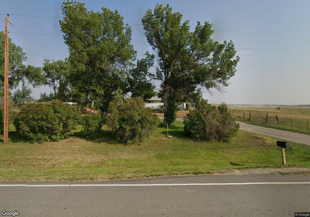
3845 Mailbox Rd Shepherd, MT 59079
Estimated Value: $460,000 - $462,000
3
Beds
2
Baths
1,698
Sq Ft
$272/Sq Ft
Est. Value
About This Home
This home is located at 3845 Mailbox Rd, Shepherd, MT 59079 and is currently estimated at $461,103, approximately $271 per square foot. 3845 Mailbox Rd is a home located in Yellowstone County with nearby schools including Shepherd Elementary School, Shepherd Middle School, and Shepherd High School.
Ownership History
Date
Name
Owned For
Owner Type
Purchase Details
Closed on
Aug 25, 2008
Sold by
Courtnage Margaret A and Coles Patricia R
Bought by
Stanina Nancy K and Stanina Jeffrey W
Current Estimated Value
Home Financials for this Owner
Home Financials are based on the most recent Mortgage that was taken out on this home.
Original Mortgage
$159,970
Interest Rate
6.03%
Mortgage Type
Stand Alone Refi Refinance Of Original Loan
Purchase Details
Closed on
Jun 20, 2008
Sold by
Stanina Nancy K Mccranie
Bought by
Courtnage Margaret A and Coles Patricia R
Create a Home Valuation Report for This Property
The Home Valuation Report is an in-depth analysis detailing your home's value as well as a comparison with similar homes in the area
Purchase History
| Date | Buyer | Sale Price | Title Company |
|---|---|---|---|
| Stanina Nancy K | -- | St | |
| Courtnage Margaret A | -- | None Available |
Source: Public Records
Mortgage History
| Date | Status | Borrower | Loan Amount |
|---|---|---|---|
| Closed | Stanina Nancy K | $159,970 |
Source: Public Records
Tax History
| Year | Tax Paid | Tax Assessment Tax Assessment Total Assessment is a certain percentage of the fair market value that is determined by local assessors to be the total taxable value of land and additions on the property. | Land | Improvement |
|---|---|---|---|---|
| 2025 | $2,169 | $279,987 | $10,677 | $269,310 |
| 2024 | $2,169 | $236,696 | $9,296 | $227,400 |
| 2023 | $2,205 | $236,696 | $9,296 | $227,400 |
| 2022 | $2,088 | $200,561 | $0 | $0 |
| 2021 | $2,083 | $200,561 | $0 | $0 |
| 2020 | $1,969 | $182,583 | $0 | $0 |
| 2019 | $1,642 | $182,583 | $0 | $0 |
| 2018 | $1,575 | $164,063 | $0 | $0 |
| 2017 | $1,547 | $164,063 | $0 | $0 |
| 2016 | $1,428 | $158,019 | $0 | $0 |
| 2015 | $1,405 | $158,019 | $0 | $0 |
| 2014 | $1,296 | $80,954 | $0 | $0 |
Source: Public Records
Map
Nearby Homes
- 9705 Shepherd Rd
- 5615 Scandia Rd
- 7684 12 Mile Rd
- 3835 Nellie Christine Dr
- 3625 Nellie Christine Dr
- 8020 Wade St
- 3863 Glenn Edward Rd
- 5652 Bengston Rd
- 7445 Horsemans Way
- 10550 Reno Ln
- 6345 Pleasant Hollow Trail
- L1B4 True Grit St
- L4B4 Trumbo Cir
- L16B3 True Grit St
- L5B4 Trumbo Cir
- L2B4 True Grit St
- L3B4 Trumbo Cir
- L15B3 True Grit St
- L1B3 Molly Dr W
- L2B3 Molly Dr W
- 3785 Mailbox Rd
- 9810 12 Mile Rd
- 3621 Mailbox Rd
- 9815 12 Mile Rd
- 10130 Jaret St
- 4017 Lone Wolf Ln
- 9841 McCranie St
- 10341 Jaret St
- 4114 Lone Wolf Ln
- 9944 McCranie St
- 4132 Lone Wolf Ln
- 10404 12 Mile Rd
- 10320 Jaret St
- 4035 Scandia Rd
- 9836 McCranie St
- 9715 McCranie St
- 9705 McCranie St
- 4225 Scandia Rd
- 9820 McCranie St
- 9770 McCranie St
Your Personal Tour Guide
Ask me questions while you tour the home.