Estimated Value: $363,145 - $617,000
--
Bed
--
Bath
--
Sq Ft
1.5
Acres
About This Home
This home is located at 3845 W 3500 S, Delta, UT 84624 and is currently estimated at $490,036. 3845 W 3500 S is a home.
Ownership History
Date
Name
Owned For
Owner Type
Purchase Details
Closed on
Mar 25, 2021
Sold by
Mitchell James M and Mitchell Kari Lynn
Bought by
Mitchell James M and Mitchell Family Revoable Trust
Current Estimated Value
Purchase Details
Closed on
May 16, 2013
Sold by
Deseret-Oasis Soecial Service District A
Bought by
Deseret-Oasis Special Service District A
Purchase Details
Closed on
May 1, 2013
Sold by
Mitchell James M and Mitchell Kari Lyn
Bought by
Mitchell James M and Mitchell Kari Lyn
Purchase Details
Closed on
Nov 9, 2007
Sold by
Dewsnup Alan Monroe
Bought by
Deseret-Oasis Special Service District
Create a Home Valuation Report for This Property
The Home Valuation Report is an in-depth analysis detailing your home's value as well as a comparison with similar homes in the area
Home Values in the Area
Average Home Value in this Area
Purchase History
| Date | Buyer | Sale Price | Title Company |
|---|---|---|---|
| Mitchell James M | -- | None Available | |
| Deseret-Oasis Special Service District A | -- | -- | |
| Mitchell James M | -- | -- | |
| Deseret-Oasis Special Service District A | -- | -- | |
| Deseret-Oasis Special Service District | -- | -- |
Source: Public Records
Tax History Compared to Growth
Tax History
| Year | Tax Paid | Tax Assessment Tax Assessment Total Assessment is a certain percentage of the fair market value that is determined by local assessors to be the total taxable value of land and additions on the property. | Land | Improvement |
|---|---|---|---|---|
| 2025 | $2,339 | $288,300 | $19,750 | $268,550 |
| 2024 | $2,339 | $194,439 | $15,625 | $178,814 |
| 2023 | $2,834 | $194,439 | $15,625 | $178,814 |
| 2022 | $1,440 | $127,011 | $14,250 | $112,761 |
| 2021 | $1,094 | $92,847 | $12,600 | $80,247 |
| 2020 | $1,053 | $90,426 | $12,600 | $77,826 |
| 2019 | $983 | $85,237 | $12,600 | $72,637 |
| 2018 | $774 | $68,921 | $12,600 | $56,321 |
| 2017 | $766 | $65,272 | $9,300 | $55,972 |
| 2016 | $732 | $65,272 | $9,300 | $55,972 |
| 2015 | $732 | $65,272 | $9,300 | $55,972 |
| 2014 | -- | $65,272 | $9,300 | $55,972 |
| 2013 | -- | $59,206 | $9,300 | $49,906 |
Source: Public Records
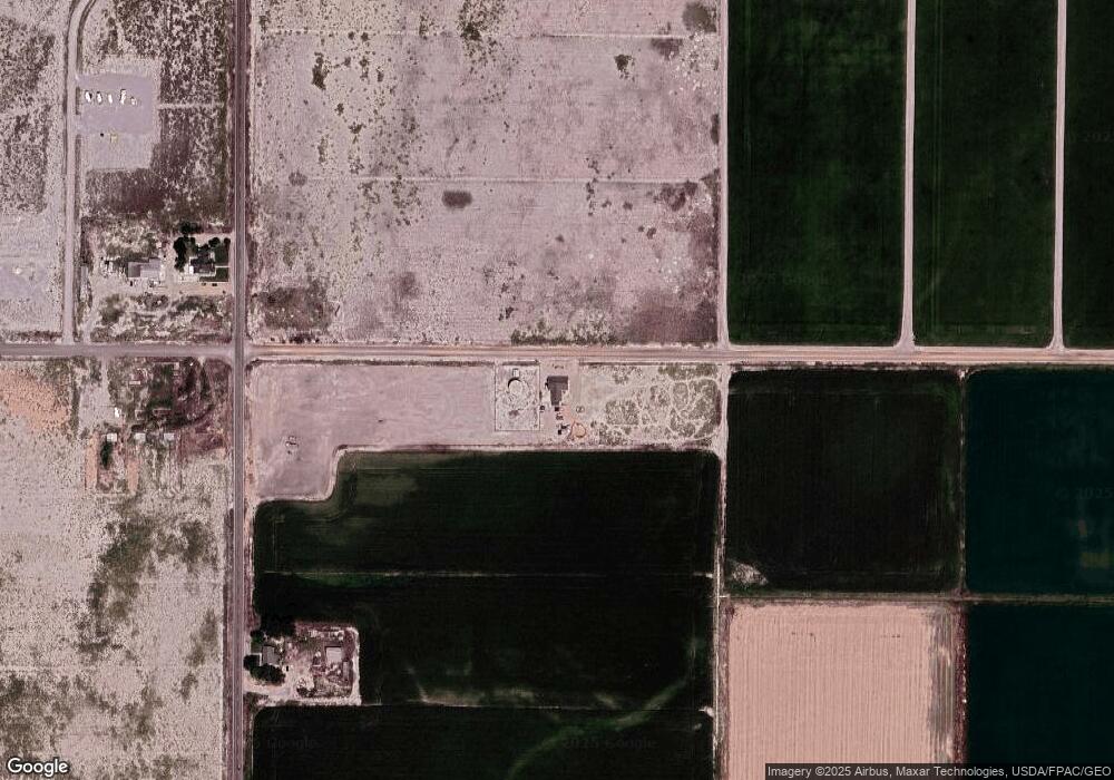
Map
Nearby Homes
- 3480 S 4000 W
- 3770 S 4000 Rd W
- 6177 S 3000 Rd W
- 3885 W 4500 S
- 0 Tbd 3000 Rd S Unit LotWP001
- 6500 S 3000 West Rd
- 470 S 2750 W Unit 6
- 460 S 2750 W Unit 7
- 490 S 2750 W Unit 5
- 465 S 2750 W Unit 4
- 6500 W 2000 S
- 17000 W 2500 Rd S
- 16700 W 2500 South Rd
- 16800 W 2500 South Rd
- 289 W Center St S
- 168 N 100 Rd W
- 1040 W Center St
- 8000 S Highway 257
- 700 Acres
- 1500 S 10000 W
- 3300 S 4000 Rd W Unit 3
- 4000 S West St W
- 3370 S 4000 West St W
- 3370 S 4000 Rd W
- 3854 S 4000 W
- 3980 W 4000 S
- 3929 W 4000 S
- 4010 S 4000 W
- 4195 S 4000 W
- 4016 S 4000 Rd W
- 2995 S 4000 W
- 4040 S 4000 W
- 4035 S 4000 W
- 3338 S 3250 W
- 4080 S 4000 W
- 4100 S 4000 W
- 4085 S 4000 W
- 4242 W 4000 S
- 4000 S West St W
- 4000 S West St W