Estimated Value: $469,748 - $520,000
5
Beds
3
Baths
1,657
Sq Ft
$293/Sq Ft
Est. Value
About This Home
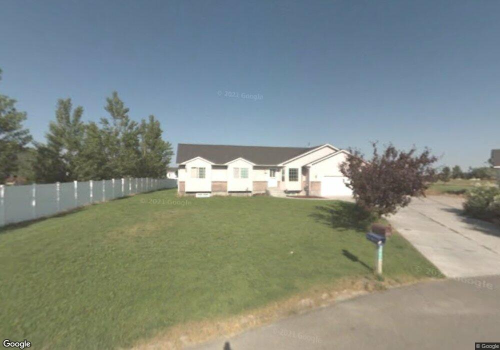
This home is located at 3847 E 38 N, Rigby, ID 83442 and is currently estimated at $485,437, approximately $292 per square foot. 3847 E 38 N is a home located in Jefferson County with nearby schools including Jefferson Elementary School, Rigby Middle School, and Rigby High School.
Ownership History
Date
Name
Owned For
Owner Type
Purchase Details
Closed on
Jul 7, 2011
Sold by
Weaver Dennis and Weaver Merri Ann
Bought by
Weaver Dennis R and Weaver Merri Ann
Current Estimated Value
Home Financials for this Owner
Home Financials are based on the most recent Mortgage that was taken out on this home.
Original Mortgage
$151,100
Outstanding Balance
$102,969
Interest Rate
4.54%
Mortgage Type
New Conventional
Estimated Equity
$382,468
Purchase Details
Closed on
Mar 23, 2005
Sold by
Mcnett Troy B and Mcnett Tami K
Bought by
Weaver Dennis and Weaver Merri Ann
Home Financials for this Owner
Home Financials are based on the most recent Mortgage that was taken out on this home.
Original Mortgage
$152,950
Interest Rate
7.37%
Mortgage Type
Adjustable Rate Mortgage/ARM
Create a Home Valuation Report for This Property
The Home Valuation Report is an in-depth analysis detailing your home's value as well as a comparison with similar homes in the area
Home Values in the Area
Average Home Value in this Area
Purchase History
| Date | Buyer | Sale Price | Title Company |
|---|---|---|---|
| Weaver Dennis R | -- | -- | |
| Weaver Dennis | -- | -- |
Source: Public Records
Mortgage History
| Date | Status | Borrower | Loan Amount |
|---|---|---|---|
| Open | Weaver Dennis R | $151,100 | |
| Closed | Weaver Dennis | $152,950 |
Source: Public Records
Tax History
| Year | Tax Paid | Tax Assessment Tax Assessment Total Assessment is a certain percentage of the fair market value that is determined by local assessors to be the total taxable value of land and additions on the property. | Land | Improvement |
|---|---|---|---|---|
| 2025 | $860 | $427,884 | $0 | $0 |
| 2024 | $860 | $416,885 | $0 | $0 |
| 2023 | $1,291 | $431,196 | $0 | $0 |
| 2022 | $1,843 | $382,011 | $0 | $0 |
| 2021 | $1,724 | $305,205 | $0 | $0 |
| 2020 | $1,387 | $274,059 | $0 | $0 |
| 2019 | $1,546 | $248,491 | $0 | $0 |
| 2018 | $1,307 | $217,122 | $0 | $0 |
| 2017 | $1,129 | $192,920 | $0 | $0 |
| 2016 | $1,122 | $94,303 | $0 | $0 |
| 2015 | $1,100 | $88,851 | $0 | $0 |
| 2014 | $1,103 | $88,848 | $0 | $0 |
| 2013 | -- | $77,816 | $0 | $0 |
Source: Public Records
Map
Nearby Homes
- 41 N White Pine Ln
- 43 N White Pine Ln
- L5 B3 N Landmark Ln
- L3 B3 N Landmark Ln
- L1 B4 N Landmark Ln
- 3850 E 12 N
- 3879 E Ash Ln
- 2 N Landmark Ln
- 3888 E Hemlock Ln
- 31 N Hemlock Ln
- 5 N Oak Cir
- 3897 E Pepperwood Ln
- 44 N Currant Ln
- TBD N 3900 E
- 3814 E 106 N
- 3836 E 120 N
- 88 N 3900 E
- TBD E 100 N
- L3B1 3744 E
- 102 N 3918 E
Your Personal Tour Guide
Ask me questions while you tour the home.