3848 Hillsdale Dr Unit 67 Auburn Hills, MI 48326
Estimated Value: $378,000 - $412,000
2
Beds
2
Baths
1,556
Sq Ft
$254/Sq Ft
Est. Value
About This Home
This home is located at 3848 Hillsdale Dr Unit 67, Auburn Hills, MI 48326 and is currently estimated at $395,712, approximately $254 per square foot. 3848 Hillsdale Dr Unit 67 is a home located in Oakland County with nearby schools including Rogers Elementary, Pontiac Middle School, and Pontiac High School.
Ownership History
Date
Name
Owned For
Owner Type
Purchase Details
Closed on
Mar 17, 2009
Sold by
Padgett Curtis C and Padgett Doris E
Bought by
Faron Donald R and Faron Jody L
Current Estimated Value
Purchase Details
Closed on
Aug 31, 2005
Sold by
The Jeanette I Zbikowski Revocable Livin
Bought by
Padgett Curtis C and Padgett Doris E
Purchase Details
Closed on
Dec 30, 1999
Sold by
Heritage Of Auburn Hills
Bought by
Jeanette L Zbikowski Tr
Purchase Details
Closed on
Jan 29, 1998
Sold by
A T C Associates
Bought by
Heritage Of Auburn Hills
Create a Home Valuation Report for This Property
The Home Valuation Report is an in-depth analysis detailing your home's value as well as a comparison with similar homes in the area
Home Values in the Area
Average Home Value in this Area
Purchase History
| Date | Buyer | Sale Price | Title Company |
|---|---|---|---|
| Faron Donald R | $170,000 | Capital Title Ins Agency | |
| Padgett Curtis C | $205,000 | Metropolitan Title Company | |
| Jeanette L Zbikowski Tr | $201,405 | -- | |
| Heritage Of Auburn Hills | -- | -- |
Source: Public Records
Tax History Compared to Growth
Tax History
| Year | Tax Paid | Tax Assessment Tax Assessment Total Assessment is a certain percentage of the fair market value that is determined by local assessors to be the total taxable value of land and additions on the property. | Land | Improvement |
|---|---|---|---|---|
| 2024 | $1,572 | $158,910 | $0 | $0 |
| 2023 | $1,500 | $157,420 | $0 | $0 |
| 2022 | $2,651 | $134,340 | $0 | $0 |
| 2021 | $2,609 | $124,920 | $0 | $0 |
| 2020 | $1,412 | $129,030 | $0 | $0 |
| 2019 | $2,394 | $124,600 | $0 | $0 |
| 2018 | $2,341 | $122,840 | $0 | $0 |
| 2017 | $2,295 | $122,810 | $0 | $0 |
| 2016 | $2,280 | $112,450 | $0 | $0 |
| 2015 | -- | $99,750 | $0 | $0 |
| 2014 | -- | $83,210 | $0 | $0 |
| 2011 | -- | $72,560 | $0 | $0 |
Source: Public Records
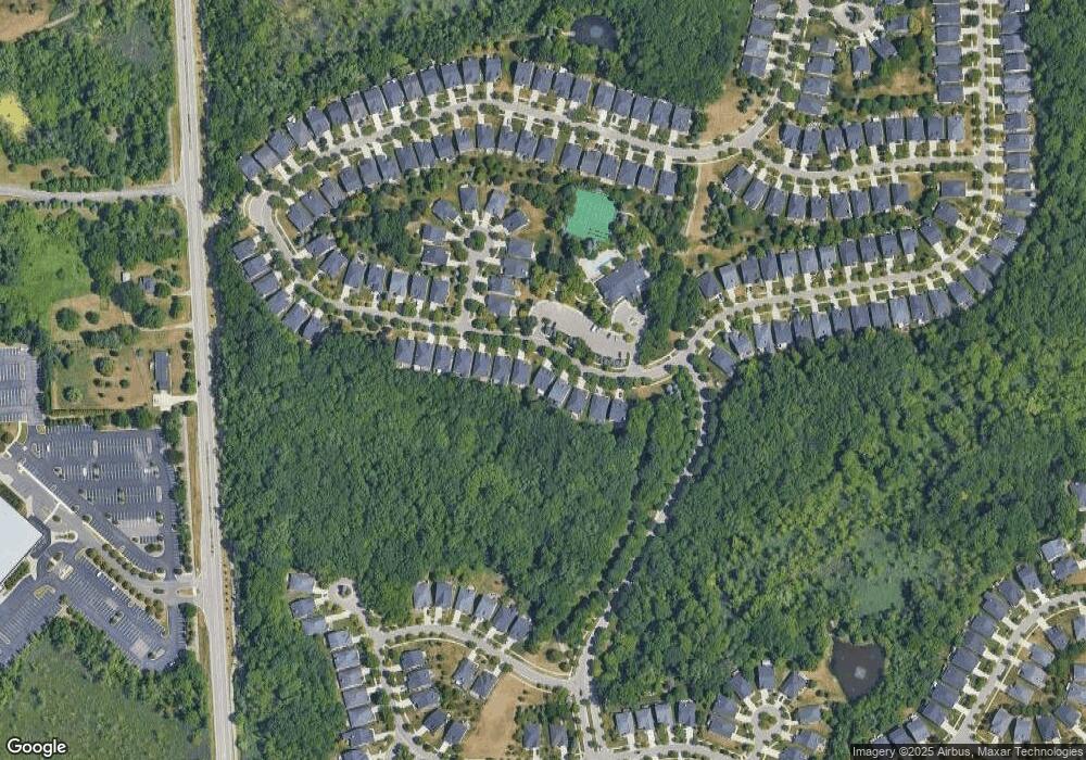
Map
Nearby Homes
- 4035 Hillsdale Dr Unit 275
- 3534 Riverside Dr Unit 141
- 3640 Camden Ct
- 3634 Camden Ct
- 3780 Bald Mountain Rd
- 3879 Teakwood Ln
- 3633 Thornwood Dr
- 3095 Bridgewater Rd Unit 30
- 3057 Bridgewater Rd
- 3674 Merriweather Ln
- 3111 Ramzi Ln
- 423 Silvervale Dr
- 3639 Heatherwood Ct
- 1906 Independence Ct
- 3101 Elstead St
- 2638 Patrick Henry Rd
- 2530 Patrick Henry St
- 3273 Salem Dr
- 5700 Rolling Hills Dr
- 3164 Bookham Cir
- 3850 Hillsdale Dr Unit Bldg-Unit
- 3850 Hillsdale Dr
- 3846 Hillsdale Dr
- 3844 Hillsdale Dr
- 3852 Hillsdale Dr
- 3842 Hillsdale Dr
- 3854 Hillsdale Dr Unit 64
- 3840 Hillsdale Dr Unit 71
- 3856 Hillsdale Dr
- 3837 Springwood Ct Unit 76
- 3820 Hillsdale Dr
- 3835 Springwood Ct Unit 77
- 3835 Springwood Ct Unit 771
- 3833 Springwood Ct Unit 78
- 3816 Hillsdale Dr
- 3819 Hillsdale Dr
- 3819 Hillsdale Dr Unit 85
- 3817 Hillsdale Dr Unit 86
- 3831 Springwood Ct Unit 79
- 3862 Hillsdale Dr