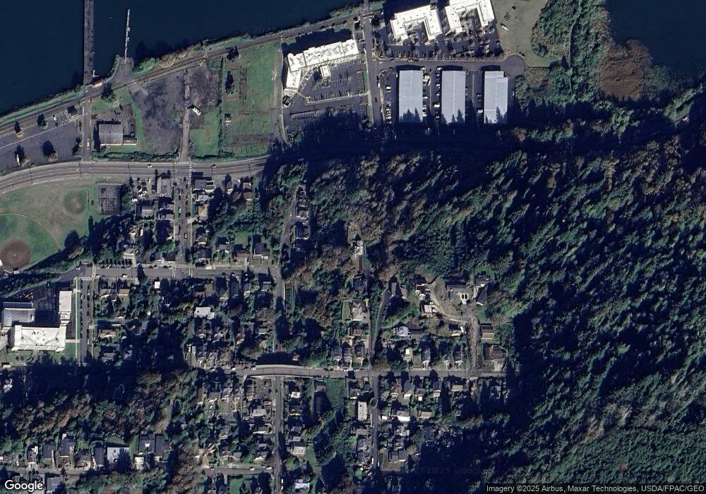
385 39th St Astoria, OR 97103
Estimated Value: $491,000 - $649,000
4
Beds
2
Baths
1,324
Sq Ft
$430/Sq Ft
Est. Value
About This Home
This home is located at 385 39th St, Astoria, OR 97103 and is currently estimated at $569,133, approximately $429 per square foot. 385 39th St is a home located in Clatsop County with nearby schools including Astor Elementary School, Lewis & Clark Elementary School, and Astoria Middle School.
Ownership History
Date
Name
Owned For
Owner Type
Purchase Details
Closed on
Jul 23, 2021
Sold by
Johnson Darren J and Estate Of Kent Leahy Johnson
Bought by
Johnson Darren J
Current Estimated Value
Purchase Details
Closed on
Mar 23, 2005
Sold by
Clatsop County
Bought by
Johnson Kent L
Create a Home Valuation Report for This Property
The Home Valuation Report is an in-depth analysis detailing your home's value as well as a comparison with similar homes in the area
Home Values in the Area
Average Home Value in this Area
Purchase History
| Date | Buyer | Sale Price | Title Company |
|---|---|---|---|
| Johnson Darren J | -- | None Available | |
| Johnson Kent L | $5,000 | -- |
Source: Public Records
Tax History Compared to Growth
Tax History
| Year | Tax Paid | Tax Assessment Tax Assessment Total Assessment is a certain percentage of the fair market value that is determined by local assessors to be the total taxable value of land and additions on the property. | Land | Improvement |
|---|---|---|---|---|
| 2024 | $5,370 | $268,341 | -- | -- |
| 2023 | $5,186 | $260,526 | $0 | $0 |
| 2022 | $4,901 | $252,939 | $0 | $0 |
| 2021 | $4,767 | $245,573 | $0 | $0 |
| 2020 | $4,631 | $238,421 | $0 | $0 |
| 2019 | $4,493 | $231,478 | $0 | $0 |
| 2018 | $4,133 | $224,737 | $0 | $0 |
| 2017 | $3,958 | $218,193 | $0 | $0 |
| 2016 | $3,783 | $211,839 | $71,128 | $140,711 |
| 2015 | $3,709 | $205,670 | $69,057 | $136,613 |
| 2014 | $3,642 | $199,680 | $0 | $0 |
| 2013 | -- | $193,865 | $0 | $0 |
Source: Public Records
Map
Nearby Homes
- 0 38th St
- 755 38th St
- 3930 Abbey Ln
- 3930 Abbey Ln Unit 210
- 3930 Abbey Ln Unit 409A
- 3990 Abbey Ln
- 3990 Abbey Ln Unit B401
- 4050 Abbey Ln
- 3535 Harrison Dr
- 3535 Harrison Ave
- 3586 Irving Ave
- 3168 Harrison Ave
- 4559 Leif Erikson Dr
- 3162 Marine Dr
- 622 46th St
- 686 29th St
- 663 29th St
- 230 Maritime Ln
- 260 Round House Rd
- 4841 Cedar St
