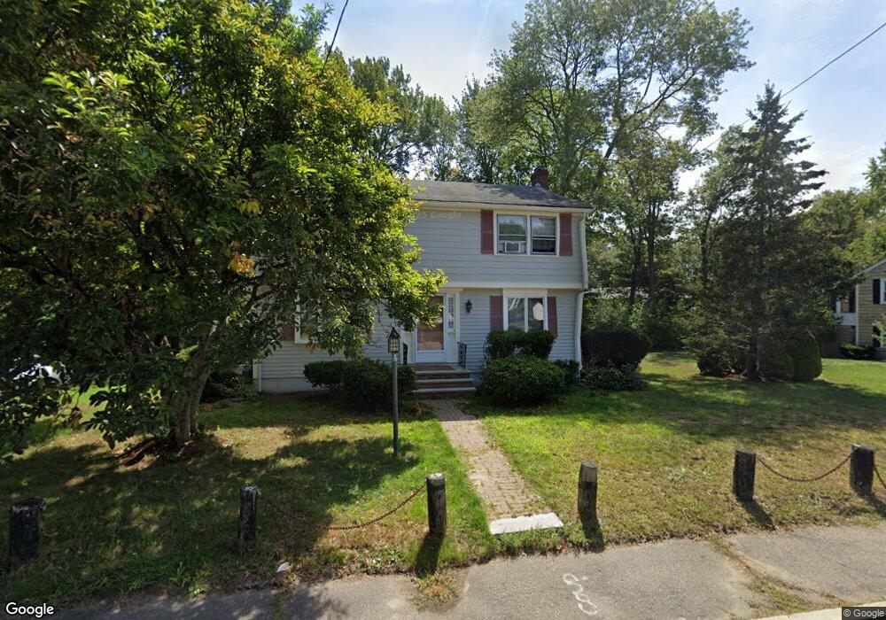
385 Broad St Weymouth, MA 02188
East Weymouth NeighborhoodEstimated Value: $648,000 - $675,000
4
Beds
3
Baths
1,568
Sq Ft
$423/Sq Ft
Est. Value
About This Home
This home is located at 385 Broad St, Weymouth, MA 02188 and is currently estimated at $663,416, approximately $423 per square foot. 385 Broad St is a home located in Norfolk County with nearby schools including Academy Avenue Elementary School, Abigail Adams Middle School, and Weymouth Middle School Chapman.
Ownership History
Date
Name
Owned For
Owner Type
Purchase Details
Closed on
Jun 30, 2000
Sold by
Durkee Arthur E and Durkee Laurie
Bought by
Rodriguez Jose N
Current Estimated Value
Home Financials for this Owner
Home Financials are based on the most recent Mortgage that was taken out on this home.
Original Mortgage
$226,990
Outstanding Balance
$83,294
Interest Rate
8.59%
Mortgage Type
Purchase Money Mortgage
Estimated Equity
$580,122
Purchase Details
Closed on
Jul 15, 1994
Sold by
Torressen Alfred S and Torressen Lorna M
Bought by
Durkee Arthur E and Durkee Laurie
Home Financials for this Owner
Home Financials are based on the most recent Mortgage that was taken out on this home.
Original Mortgage
$136,800
Interest Rate
8.51%
Mortgage Type
Purchase Money Mortgage
Create a Home Valuation Report for This Property
The Home Valuation Report is an in-depth analysis detailing your home's value as well as a comparison with similar homes in the area
Home Values in the Area
Average Home Value in this Area
Purchase History
| Date | Buyer | Sale Price | Title Company |
|---|---|---|---|
| Rodriguez Jose N | $252,500 | -- | |
| Durkee Arthur E | $171,000 | -- |
Source: Public Records
Mortgage History
| Date | Status | Borrower | Loan Amount |
|---|---|---|---|
| Open | Durkee Arthur E | $226,990 | |
| Previous Owner | Durkee Arthur E | $134,000 | |
| Previous Owner | Durkee Arthur E | $136,800 | |
| Previous Owner | Durkee Arthur E | $67,000 |
Source: Public Records
Tax History Compared to Growth
Tax History
| Year | Tax Paid | Tax Assessment Tax Assessment Total Assessment is a certain percentage of the fair market value that is determined by local assessors to be the total taxable value of land and additions on the property. | Land | Improvement |
|---|---|---|---|---|
| 2025 | $5,698 | $564,200 | $216,100 | $348,100 |
| 2024 | $5,630 | $548,200 | $205,800 | $342,400 |
| 2023 | $5,176 | $495,300 | $190,600 | $304,700 |
| 2022 | $5,039 | $439,700 | $176,500 | $263,200 |
| 2021 | $4,800 | $408,900 | $176,500 | $232,400 |
| 2020 | $4,587 | $384,800 | $176,500 | $208,300 |
| 2019 | $4,475 | $369,200 | $169,700 | $199,500 |
| 2018 | $4,281 | $342,500 | $161,600 | $180,900 |
| 2017 | $4,198 | $327,700 | $153,900 | $173,800 |
| 2016 | $4,067 | $317,700 | $148,000 | $169,700 |
| 2015 | $3,902 | $302,500 | $148,000 | $154,500 |
| 2014 | $3,765 | $283,100 | $137,800 | $145,300 |
Source: Public Records
Map
Nearby Homes
- 286 Essex St
- 367 Essex St
- 12 Klasson Ln
- 286 Broad St
- 29-31 Broad Street Place
- 42 Sundin Rd
- 303 Middle St
- 575 Broad St Unit 305
- 575 Broad St Unit 215
- 449 Middle St
- 669 Commercial St
- 209 Lake St Unit 69
- 20 Richards Rd
- 19 Vine St Unit 3
- 19 Vine St Unit 1
- 15 1st St
- 56 Putnam St
- 38 Idlewell St
- 114 Broad St Unit D
- 114 Broad St Unit C
- 373 Broad St
- 20 Stoney Brook Ln
- 391 Broad St
- 378 Broad St Unit 2
- 378 Broad St
- 372 Broad St Unit 374
- 35 Stoney Brook Ln
- 384 Broad St
- 25 Stoney Brook Ln
- 401 Broad St
- 370 Broad St
- 394 Broad St
- 359 Broad St
- 17 Stoney Brook Ln
- 398 Broad St
- 309 Essex St
- 210 Academy Ave
- 407 Broad St
- 402 Broad St
- 94 Longwood Rd