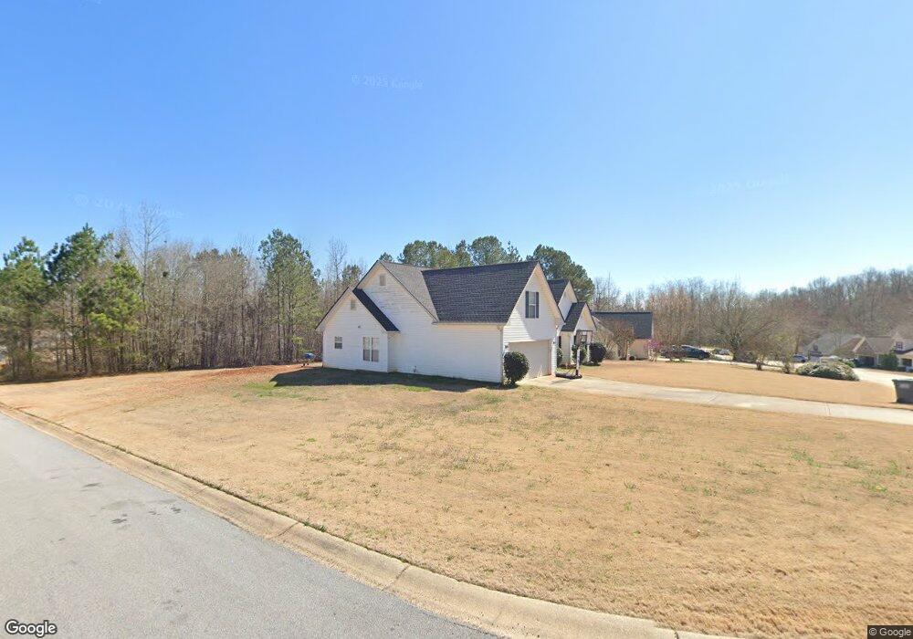
385 Butler Bridge Cir Covington, GA 30016
Estimated Value: $280,006 - $318,000
--
Bed
2
Baths
1,831
Sq Ft
$161/Sq Ft
Est. Value
About This Home
This home is located at 385 Butler Bridge Cir, Covington, GA 30016 and is currently estimated at $295,002, approximately $161 per square foot. 385 Butler Bridge Cir is a home located in Newton County with nearby schools including Oak Hill Elementary School, Veterans Memorial Middle School, and Alcovy High School.
Ownership History
Date
Name
Owned For
Owner Type
Purchase Details
Closed on
Aug 10, 2001
Sold by
Kraft Homes
Bought by
Hall Rhonda M
Current Estimated Value
Home Financials for this Owner
Home Financials are based on the most recent Mortgage that was taken out on this home.
Original Mortgage
$120,853
Outstanding Balance
$47,279
Interest Rate
7.19%
Mortgage Type
New Conventional
Estimated Equity
$247,723
Create a Home Valuation Report for This Property
The Home Valuation Report is an in-depth analysis detailing your home's value as well as a comparison with similar homes in the area
Home Values in the Area
Average Home Value in this Area
Purchase History
| Date | Buyer | Sale Price | Title Company |
|---|---|---|---|
| Hall Rhonda M | $127,300 | -- |
Source: Public Records
Mortgage History
| Date | Status | Borrower | Loan Amount |
|---|---|---|---|
| Open | Hall Rhonda M | $120,853 |
Source: Public Records
Tax History Compared to Growth
Tax History
| Year | Tax Paid | Tax Assessment Tax Assessment Total Assessment is a certain percentage of the fair market value that is determined by local assessors to be the total taxable value of land and additions on the property. | Land | Improvement |
|---|---|---|---|---|
| 2024 | $3,248 | $129,840 | $16,800 | $113,040 |
| 2023 | $3,269 | $122,240 | $16,000 | $106,240 |
| 2022 | $2,449 | $92,000 | $8,000 | $84,000 |
| 2021 | $2,329 | $78,800 | $8,000 | $70,800 |
| 2020 | $2,165 | $66,760 | $8,000 | $58,760 |
| 2019 | $1,980 | $60,400 | $7,400 | $53,000 |
| 2018 | $1,835 | $55,800 | $7,400 | $48,400 |
| 2017 | $1,696 | $51,760 | $7,400 | $44,360 |
| 2016 | $1,642 | $50,200 | $4,000 | $46,200 |
| 2015 | $1,633 | $49,960 | $4,000 | $45,960 |
| 2014 | $1,244 | $38,680 | $0 | $0 |
Source: Public Records
Map
Nearby Homes
- 435 Butler Bridge Cir
- 50 Butler Bridge Cir
- 0 Goldfinch Dr
- 6023 Highway 20 S
- 0 Butler Bridge Rd Unit 19792679
- 0 Butler Bridge Rd Unit 19792691
- 190 the Falls Blvd
- 110 Thomas Trail
- 4.18 ACRES Bailey Creek Rd
- 5240 Highway 20 S
- 175 Cambridge Way Unit 2
- 40 Mildred Ln
- 0 Unit LOTS READY TO BUILD
- 55 the Falls Blvd
- 35 Cambridge Way
- 35 Fourwood Dr
- 120 Wintergreen Ct
- 110 Chapel Heights Way
- 145 Providence Dr
- 1033 Riverclift Dr
- 395 Butler Bridge Cir
- 820 Freeman Dr
- 810 Freeman Dr Unit 5
- 415 Butler Bridge Cir
- 380 Butler Bridge Cir
- 380 Butler Bridge Cir Unit 37
- 400 Butler Bridge Cir
- 390 Butler Bridge Cir
- 370 Butler Bridge Cir
- 785 Freeman Dr
- 800 Freeman Dr
- 360 Butler Bridge Cir
- 430 Butler Bridge Cir
- 410 Butler Bridge Cir
- 790 Freeman Dr
- 335 Butler Bridge Cir
- 350 Butler Bridge Cir
- 350 Butler Bridge Cir
- 780 Freeman Dr
- 305 Butler Bridge Cir