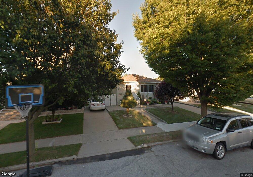
385 Colon Ave Staten Island, NY 10308
Great Kills NeighborhoodEstimated Value: $692,000 - $845,000
3
Beds
2
Baths
960
Sq Ft
$772/Sq Ft
Est. Value
About This Home
This home is located at 385 Colon Ave, Staten Island, NY 10308 and is currently estimated at $740,841, approximately $771 per square foot. 385 Colon Ave is a home located in Richmond County with nearby schools including P.S. 32 The Gifford School, I.S. 075 Frank D. Paulo, and Susan E Wagner High School.
Ownership History
Date
Name
Owned For
Owner Type
Purchase Details
Closed on
Nov 12, 1998
Sold by
Treglia John and Treglia Lucille
Bought by
Roma Thomas and Roma Catherine
Current Estimated Value
Home Financials for this Owner
Home Financials are based on the most recent Mortgage that was taken out on this home.
Original Mortgage
$130,000
Interest Rate
6.84%
Create a Home Valuation Report for This Property
The Home Valuation Report is an in-depth analysis detailing your home's value as well as a comparison with similar homes in the area
Home Values in the Area
Average Home Value in this Area
Purchase History
| Date | Buyer | Sale Price | Title Company |
|---|---|---|---|
| Roma Thomas | $230,000 | First American Title Ins Co |
Source: Public Records
Mortgage History
| Date | Status | Borrower | Loan Amount |
|---|---|---|---|
| Previous Owner | Roma Thomas | $130,000 |
Source: Public Records
Tax History Compared to Growth
Tax History
| Year | Tax Paid | Tax Assessment Tax Assessment Total Assessment is a certain percentage of the fair market value that is determined by local assessors to be the total taxable value of land and additions on the property. | Land | Improvement |
|---|---|---|---|---|
| 2025 | $6,517 | $42,120 | $10,484 | $31,636 |
| 2024 | $6,517 | $36,000 | $11,572 | $24,428 |
| 2023 | $6,328 | $31,159 | $9,749 | $21,410 |
| 2022 | $5,869 | $36,600 | $12,840 | $23,760 |
| 2021 | $6,187 | $32,580 | $12,840 | $19,740 |
| 2020 | $6,066 | $32,220 | $12,840 | $19,380 |
| 2019 | $3,341 | $31,140 | $12,840 | $18,300 |
| 2018 | $4,996 | $25,966 | $12,132 | $13,834 |
| 2017 | $4,694 | $24,499 | $11,997 | $12,502 |
| 2016 | $4,588 | $24,499 | $11,915 | $12,584 |
| 2015 | $4,019 | $23,883 | $9,323 | $14,560 |
| 2014 | $4,019 | $22,532 | $9,241 | $13,291 |
Source: Public Records
Map
Nearby Homes
- 350 Brookfield Ave
- 339 Abingdon Ave
- 414 Elverton Ave
- 259 Brookfield Ave
- 345 Colon Ave
- 72 Eric Ln
- 379 Brookfield Ave
- 466 Doane Ave
- 307 Abingdon Ave
- 26 E Brandis Ave
- 919 Armstrong Ave
- 87 Pemberton Ave
- 74 E Brandis Ave
- 185 Brookfield Ave
- 248 Abingdon Ave
- 271 Doane Ave
- 223 Abingdon Ave
- 132 Elkhart St
- 131 Cortelyou Ave Unit 1-1
- 63 Genesee Ave