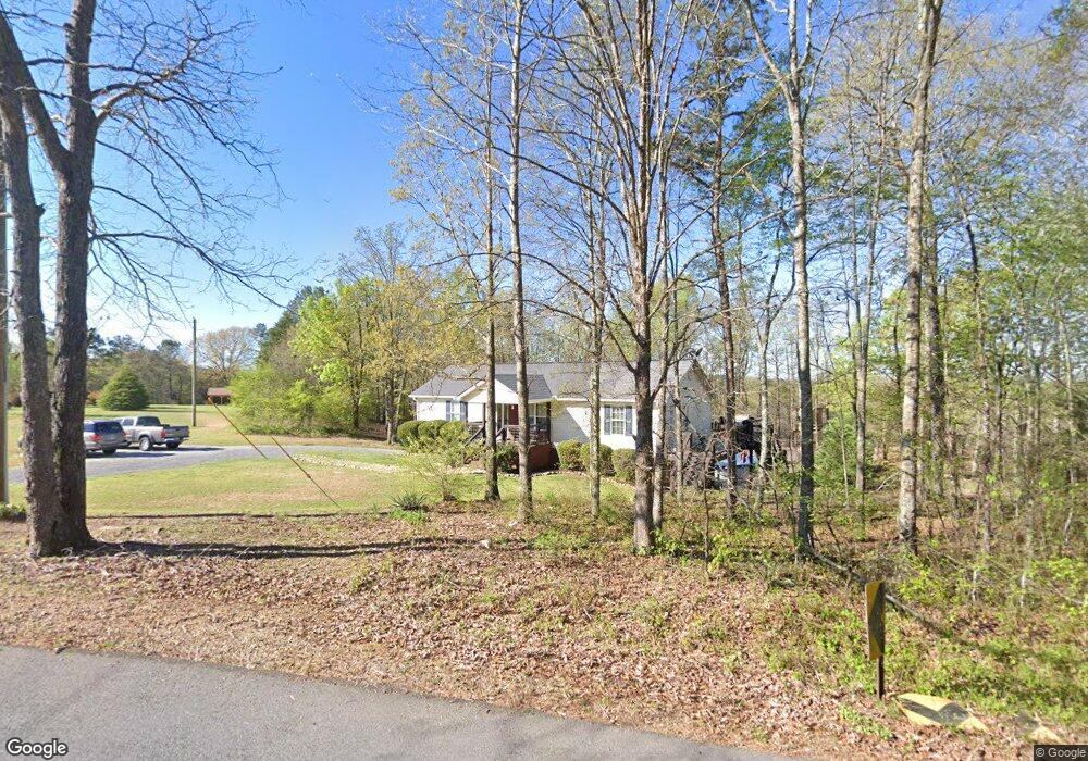
385 Colquitt Rd Cedartown, GA 30125
Estimated Value: $268,000 - $382,182
3
Beds
2
Baths
2,444
Sq Ft
$138/Sq Ft
Est. Value
About This Home
This home is located at 385 Colquitt Rd, Cedartown, GA 30125 and is currently estimated at $336,796, approximately $137 per square foot. 385 Colquitt Rd is a home located in Polk County.
Ownership History
Date
Name
Owned For
Owner Type
Purchase Details
Closed on
Mar 31, 2017
Sold by
Carter Adam L
Bought by
Scipper Kenneth Daniel
Current Estimated Value
Home Financials for this Owner
Home Financials are based on the most recent Mortgage that was taken out on this home.
Original Mortgage
$138,383
Outstanding Balance
$114,807
Interest Rate
4.1%
Mortgage Type
New Conventional
Estimated Equity
$221,989
Purchase Details
Closed on
Apr 13, 2009
Sold by
Cates Robert Christopher
Bought by
Carter Adam L and Carter Emily L
Home Financials for this Owner
Home Financials are based on the most recent Mortgage that was taken out on this home.
Original Mortgage
$126,172
Interest Rate
5.05%
Mortgage Type
FHA
Create a Home Valuation Report for This Property
The Home Valuation Report is an in-depth analysis detailing your home's value as well as a comparison with similar homes in the area
Home Values in the Area
Average Home Value in this Area
Purchase History
| Date | Buyer | Sale Price | Title Company |
|---|---|---|---|
| Scipper Kenneth Daniel | $137,000 | -- | |
| Carter Adam L | $128,500 | -- |
Source: Public Records
Mortgage History
| Date | Status | Borrower | Loan Amount |
|---|---|---|---|
| Open | Scipper Kenneth Daniel | $138,383 | |
| Previous Owner | Carter Adam L | $126,172 |
Source: Public Records
Tax History Compared to Growth
Tax History
| Year | Tax Paid | Tax Assessment Tax Assessment Total Assessment is a certain percentage of the fair market value that is determined by local assessors to be the total taxable value of land and additions on the property. | Land | Improvement |
|---|---|---|---|---|
| 2024 | $1,933 | $92,497 | $3,434 | $89,063 |
| 2023 | $1,511 | $63,668 | $3,434 | $60,234 |
| 2022 | $1,313 | $55,307 | $2,289 | $53,018 |
| 2021 | $1,330 | $55,307 | $2,289 | $53,018 |
| 2020 | $1,332 | $55,307 | $2,289 | $53,018 |
| 2019 | $1,287 | $47,918 | $2,289 | $45,629 |
| 2018 | $1,292 | $46,870 | $2,289 | $44,581 |
| 2017 | $1,221 | $46,870 | $2,289 | $44,581 |
| 2016 | $1,242 | $47,638 | $3,057 | $44,581 |
| 2015 | $1,254 | $47,948 | $3,057 | $44,892 |
| 2014 | $1,263 | $47,948 | $3,057 | $44,892 |
Source: Public Records
Map
Nearby Homes
- 0 Colquitt Rd Unit 25175705
- 0 Colquitt Rd Unit 7661475
- 0 Colquitt Rd Unit 10623944
- 1170 Lake Creek Rd
- TRACT4 Drummond Rd
- Tract2 Drummond Rd
- 110 Mulberry Ln
- 31 Meadow Lakes Terrace
- 2129 Lake Creek Rd
- 573 Relay Rd SE
- 2236 Rome Hwy
- 1522 Collard Valley Rd
- 2705 Collard Valley Rd
- 0 Rome Hwy Unit 10521649
- 0 Collins Rd Unit 10627302
- 1250 Adams Rd
- 387 Lindsey Chapel Rd
- 113 Cherokee Estates Dr
- 375 Colquitt Rd
- 410 Colquitt Rd
- 449 Colquitt Rd
- 323 Colquitt Rd
- 450 Colquitt Rd
- 271 Colquitt Rd
- 50 Colquitt Rd
- 5.0 Colquitt Rd
- 280 Colquitt Rd
- 524 Colquitt Rd
- 414 Cantrell Loop
- 197 Colquitt Rd
- 424 Cantrell Loop
- 366 Cantrell Loop
- 551 Colquitt Rd
- 588 Colquitt Rd
- 119 Colquitt Rd
- 601 Colquitt Rd
- 186 Colquitt Rd
- 182 Colquitt Rd