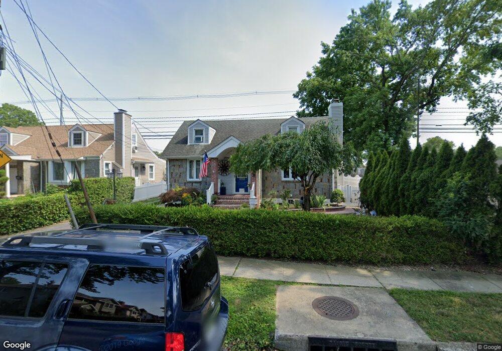
385 De Mott St Mineola, NY 11501
Estimated Value: $669,000 - $760,624
3
Beds
2
Baths
1,308
Sq Ft
$546/Sq Ft
Est. Value
About This Home
This home is located at 385 De Mott St, Mineola, NY 11501 and is currently estimated at $714,812, approximately $546 per square foot. 385 De Mott St is a home located in Nassau County with nearby schools including Mineola Middle School, Jackson Avenue School, and Mineola High School.
Ownership History
Date
Name
Owned For
Owner Type
Purchase Details
Closed on
Jan 4, 2022
Sold by
Angarita Denice
Bought by
George Manna M and George Padmaja
Current Estimated Value
Home Financials for this Owner
Home Financials are based on the most recent Mortgage that was taken out on this home.
Original Mortgage
$589,132
Interest Rate
3.69%
Mortgage Type
FHA
Purchase Details
Closed on
Dec 4, 2002
Sold by
Wenz David
Bought by
Rivera Denice
Create a Home Valuation Report for This Property
The Home Valuation Report is an in-depth analysis detailing your home's value as well as a comparison with similar homes in the area
Home Values in the Area
Average Home Value in this Area
Purchase History
| Date | Buyer | Sale Price | Title Company |
|---|---|---|---|
| George Manna M | $600,000 | Wfg National Title | |
| Rivera Denice | $270,000 | -- |
Source: Public Records
Mortgage History
| Date | Status | Borrower | Loan Amount |
|---|---|---|---|
| Previous Owner | George Manna M | $589,132 |
Source: Public Records
Tax History
| Year | Tax Paid | Tax Assessment Tax Assessment Total Assessment is a certain percentage of the fair market value that is determined by local assessors to be the total taxable value of land and additions on the property. | Land | Improvement |
|---|---|---|---|---|
| 2025 | $9,439 | $505 | $283 | $222 |
| 2024 | $2,119 | $505 | $283 | $222 |
Source: Public Records
Map
Nearby Homes
- 62 12th Ave
- 88 Krug Place
- 148 Simonson Rd
- 136 Wardwell Rd
- 189 Rockaway Ave
- 274 Cherry Valley Ave Unit B2
- 105 15th St Unit A1
- 107 15th St Unit E-1
- 197 Emory Rd
- 113 15th St Unit 1C
- 129 15th St Unit B2
- 127 15th St Unit E 2
- 123 15th St Unit A-1
- 120 Horton Hwy Unit A-12
- 120 Horton Hwy Unit A9
- 120 Horton Hwy Unit 12D
- 120 Horton Hwy Unit A1
- 8 Andover Ct
- 256 Garfield Ave
- 192 Park Ave
Your Personal Tour Guide
Ask me questions while you tour the home.