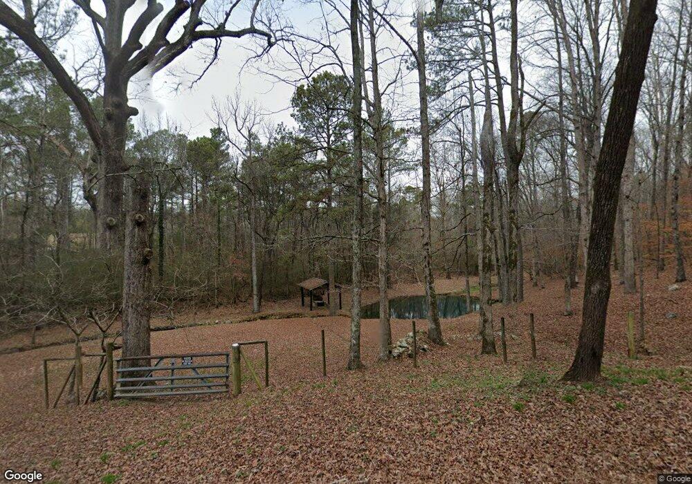
385 Gentry Rd Kingston, GA 30145
Estimated Value: $431,000 - $576,000
Studio
--
Bath
2,293
Sq Ft
$228/Sq Ft
Est. Value
About This Home
This home is located at 385 Gentry Rd, Kingston, GA 30145 and is currently estimated at $523,682, approximately $228 per square foot. 385 Gentry Rd is a home with nearby schools including Model Middle School and Model High School.
Ownership History
Date
Name
Owned For
Owner Type
Purchase Details
Closed on
Nov 5, 2018
Sold by
Jolly Anthony Dan
Bought by
Crowder Matthew and Crowder Kacie
Current Estimated Value
Home Financials for this Owner
Home Financials are based on the most recent Mortgage that was taken out on this home.
Original Mortgage
$56,250
Outstanding Balance
$32,237
Interest Rate
4.7%
Mortgage Type
Commercial
Estimated Equity
$491,446
Purchase Details
Closed on
Apr 30, 2007
Sold by
Not Provided
Bought by
Jolly Anthony Dan
Create a Home Valuation Report for This Property
The Home Valuation Report is an in-depth analysis detailing your home's value as well as a comparison with similar homes in the area
Home Values in the Area
Average Home Value in this Area
Purchase History
| Date | Buyer | Sale Price | Title Company |
|---|---|---|---|
| Crowder Matthew | $75,000 | -- | |
| Jolly Anthony Dan | $99,400 | -- |
Source: Public Records
Mortgage History
| Date | Status | Borrower | Loan Amount |
|---|---|---|---|
| Open | Crowder Matthew | $56,250 |
Source: Public Records
Tax History
| Year | Tax Paid | Tax Assessment Tax Assessment Total Assessment is a certain percentage of the fair market value that is determined by local assessors to be the total taxable value of land and additions on the property. | Land | Improvement |
|---|---|---|---|---|
| 2025 | $3,701 | $224,260 | $51,466 | $172,794 |
| 2024 | $3,701 | $207,548 | $45,748 | $161,800 |
| 2023 | $4,777 | $176,625 | $41,589 | $135,036 |
| 2022 | $3,792 | $146,983 | $34,188 | $112,795 |
| 2021 | $3,313 | $118,690 | $30,861 | $87,829 |
| 2020 | $3,091 | $101,544 | $26,837 | $74,707 |
| 2019 | $806 | $26,837 | $26,837 | $0 |
| 2018 | $769 | $25,562 | $25,562 | $0 |
| 2017 | $714 | $23,669 | $23,669 | $0 |
| 2016 | $721 | $23,640 | $23,640 | $0 |
| 2015 | $705 | $23,640 | $23,640 | $0 |
| 2014 | $705 | $23,640 | $23,640 | $0 |
Source: Public Records
Map
Nearby Homes
- 0 Mcclain Rd Unit 10537234
- 159 Ward Mountain Rd
- 1746 Wayside Rd
- 1799 Wayside Rd
- 919 Ward Mountain Rd
- 4 Cohutta Ct
- 39 Fieldstone Dr NE
- 32 Fieldstone Dr NE
- 1644 Wayside Rd NE
- 493 Morrison Camp Ground Rd NE
- 676 Flowery Branch Rd
- 567 Fred Kelley Rd NE
- 406 Fred Kelley Rd NE
- 2878 E Hermitage Rd
- 489 Barron Rd NE
- 0 Flowery Branch Rd Unit 7684237
- 0 Flowery Branch Rd Unit 10651048
- 127 Branson Rd SE
- 20 Meadows Dr SE
- 0 Fred Kelly Rd NE Unit 26384103
- 391 Gentry Rd
- 0 Gentry Rd NE
- 369 Gentry Rd
- 515 Gentry Rd
- 541 Gentry Rd
- 337 Gentry Rd
- 337 Gentry Rd
- 617 Gentry Rd
- 293 Gentry Rd
- 157 Gentry Rd NE
- 206 Gentry Rd
- 380 Ward Mountain Rd
- 474 Gentry Rd
- 191 Gentry Rd
- 499 Mcclain Rd
- 210 Ward Mountain Rd
- 157 Gentry Rd
- 2630 Wayside Rd
- 211 Kerce Rd
- 493 Mcclain Rd
Your Personal Tour Guide
Ask me questions while you tour the home.