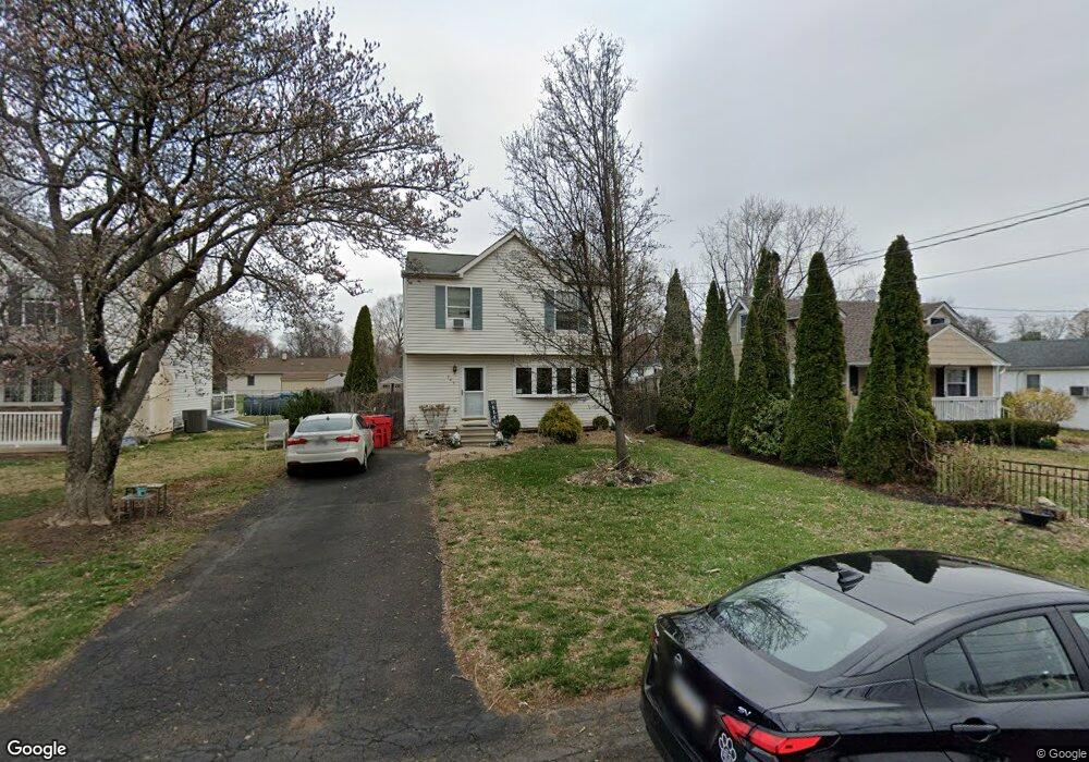
385 Grape St Warminster, PA 18974
Estimated Value: $442,880 - $484,000
3
Beds
2
Baths
1,560
Sq Ft
$295/Sq Ft
Est. Value
About This Home
This home is located at 385 Grape St, Warminster, PA 18974 and is currently estimated at $460,470, approximately $295 per square foot. 385 Grape St is a home located in Bucks County with nearby schools including McDonald Elementary School, Log College Middle School, and William Tennent High School.
Ownership History
Date
Name
Owned For
Owner Type
Purchase Details
Closed on
Jul 22, 2021
Sold by
Rosenberger Robert G and Rosenberger Barbara V
Bought by
Bragen Kimberly Ann and Bragen Francis George
Current Estimated Value
Purchase Details
Closed on
Sep 29, 2000
Sold by
Potter David D
Bought by
Rosenberger Robert G and Rosenberger Barbara
Home Financials for this Owner
Home Financials are based on the most recent Mortgage that was taken out on this home.
Original Mortgage
$133,100
Interest Rate
7.94%
Purchase Details
Closed on
Feb 28, 2000
Sold by
Spencer Walter R and Sheely Delores A
Bought by
Potter David D
Home Financials for this Owner
Home Financials are based on the most recent Mortgage that was taken out on this home.
Original Mortgage
$105,375
Interest Rate
8.15%
Mortgage Type
Construction
Create a Home Valuation Report for This Property
The Home Valuation Report is an in-depth analysis detailing your home's value as well as a comparison with similar homes in the area
Home Values in the Area
Average Home Value in this Area
Purchase History
| Date | Buyer | Sale Price | Title Company |
|---|---|---|---|
| Bragen Kimberly Ann | -- | None Available | |
| Rosenberger Robert G | $147,900 | -- | |
| Potter David D | $40,000 | -- |
Source: Public Records
Mortgage History
| Date | Status | Borrower | Loan Amount |
|---|---|---|---|
| Previous Owner | Rosenberger Robert G | $133,100 | |
| Previous Owner | Potter David D | $105,375 |
Source: Public Records
Tax History
| Year | Tax Paid | Tax Assessment Tax Assessment Total Assessment is a certain percentage of the fair market value that is determined by local assessors to be the total taxable value of land and additions on the property. | Land | Improvement |
|---|---|---|---|---|
| 2025 | $5,285 | $25,040 | $2,920 | $22,120 |
| 2024 | $5,285 | $25,040 | $2,920 | $22,120 |
| 2023 | $5,122 | $25,040 | $2,920 | $22,120 |
| 2022 | $5,013 | $25,040 | $2,920 | $22,120 |
| 2021 | $4,896 | $25,040 | $2,920 | $22,120 |
| 2020 | $4,827 | $25,040 | $2,920 | $22,120 |
| 2019 | $4,571 | $25,040 | $2,920 | $22,120 |
| 2018 | $4,462 | $25,040 | $2,920 | $22,120 |
| 2017 | $4,331 | $25,040 | $2,920 | $22,120 |
| 2016 | -- | $25,040 | $2,920 | $22,120 |
| 2015 | $4,421 | $25,040 | $2,920 | $22,120 |
| 2014 | $4,421 | $25,040 | $2,920 | $22,120 |
Source: Public Records
Map
Nearby Homes
- 485 4th Ave
- 473 3rd Ave
- 192 Greene Rd
- 505 Orchard Ave
- 102 Earl Ln
- 746 Spruce Rd
- Lot 15 Kennedy Way
- 0 York Rd
- 279 Gibson Ave
- 194 Gibson Ave
- 108 Meadowbrook Ave
- 465 Springdale Ave
- 158 Wiltshire Ln
- 330 Windsor Ave
- 130 E Street Rd
- 641 Whittier Dr
- 631 Whittier Dr
- 632 Longfellow Ct
- 630 Whittier Dr
- 416 Preston Ln
Your Personal Tour Guide
Ask me questions while you tour the home.