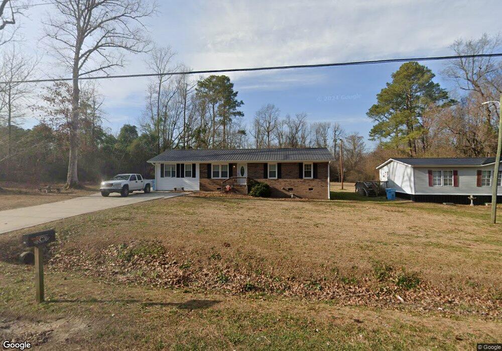
385 Huffmantown Rd Richlands, NC 28574
Estimated Value: $249,000 - $255,000
3
Beds
2
Baths
1,375
Sq Ft
$183/Sq Ft
Est. Value
About This Home
This home is located at 385 Huffmantown Rd, Richlands, NC 28574 and is currently estimated at $251,761, approximately $183 per square foot. 385 Huffmantown Rd is a home located in Onslow County with nearby schools including Richlands Elementary School, Trexler Middle School, and Richlands High School.
Ownership History
Date
Name
Owned For
Owner Type
Purchase Details
Closed on
Sep 21, 2016
Sold by
Cavenaugh Jean Lynett and Futrell Jean Lynett
Bought by
Cavenaugh Byron and Cavenaugh Jean Lynett
Current Estimated Value
Home Financials for this Owner
Home Financials are based on the most recent Mortgage that was taken out on this home.
Original Mortgage
$85,800
Outstanding Balance
$68,587
Interest Rate
3.25%
Mortgage Type
Construction
Estimated Equity
$183,174
Purchase Details
Closed on
Mar 9, 1984
Bought by
Futrell Jean Lynett
Create a Home Valuation Report for This Property
The Home Valuation Report is an in-depth analysis detailing your home's value as well as a comparison with similar homes in the area
Home Values in the Area
Average Home Value in this Area
Purchase History
| Date | Buyer | Sale Price | Title Company |
|---|---|---|---|
| Cavenaugh Byron | -- | Attorney | |
| Futrell Jean Lynett | -- | -- |
Source: Public Records
Mortgage History
| Date | Status | Borrower | Loan Amount |
|---|---|---|---|
| Open | Cavenaugh Byron | $85,800 |
Source: Public Records
Tax History
| Year | Tax Paid | Tax Assessment Tax Assessment Total Assessment is a certain percentage of the fair market value that is determined by local assessors to be the total taxable value of land and additions on the property. | Land | Improvement |
|---|---|---|---|---|
| 2025 | $1,115 | $170,189 | $42,900 | $127,289 |
| 2024 | $1,115 | $170,189 | $42,900 | $127,289 |
| 2023 | $1,115 | $170,189 | $42,900 | $127,289 |
| 2022 | $1,115 | $170,189 | $42,900 | $127,289 |
| 2021 | $922 | $130,710 | $31,460 | $99,250 |
| 2020 | $922 | $130,710 | $31,460 | $99,250 |
| 2019 | $922 | $130,710 | $31,460 | $99,250 |
| 2018 | $922 | $130,710 | $31,460 | $99,250 |
| 2017 | $602 | $89,210 | $31,460 | $57,750 |
| 2016 | $602 | $89,210 | $0 | $0 |
| 2015 | $602 | $89,210 | $0 | $0 |
| 2014 | $602 | $89,210 | $0 | $0 |
Source: Public Records
Map
Nearby Homes
- 424 Huffmantown Rd
- 436 Huffmantown Rd
- 444 Huffmantown
- 282 Richlands Loop Rd
- 523 Huffmantown Rd
- 190 Huffmantown Rd
- 149 Huffmantown Rd
- 205 High Meadow Ct
- 404 Silva Cove
- 00 Kinston Hwy
- 316 Starky Dr
- 978 Kinston Hwy
- 404 Wade Dr
- 600 Central Park Way
- 408 Wade Dr
- 418 Wade Dr
- 410 Wade Dr
- 400 Wade Dr
- 402 Wade Dr
- 414 Wade Dr
- 391 Huffmantown Rd
- 370 Huffmantown Rd
- 359 Huffmantown Rd
- 353 Huffmantown Rd
- 428 Huffmantown Rd
- 333 Huffmantown Rd
- 448 Huffmantown Rd
- 116 Cox Ave
- 111 Cox Ave
- 313 Huffmantown Rd
- 316 Huffmantown Rd
- 122 Cox Ave
- 304 Huffmantown Rd
- 132 Cox Ave
- 296 Richlands Loop Rd
- 476 Huffmantown Rd
- 142 Cox Ave
- 280 Huffmantown Rd
- 295 Huffmantown Rd
- 108 McCackney Dr