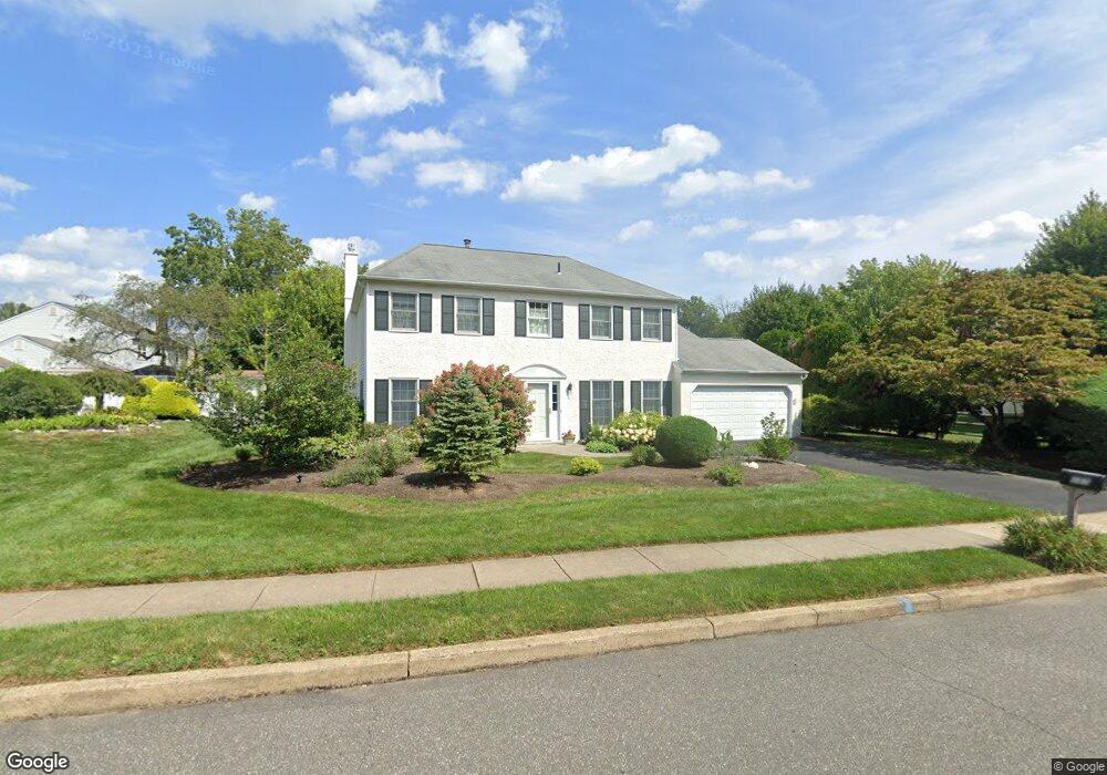
385 Maple Point Dr Langhorne, PA 19047
Estimated Value: $718,000 - $780,000
4
Beds
3
Baths
2,602
Sq Ft
$284/Sq Ft
Est. Value
About This Home
This home is located at 385 Maple Point Dr, Langhorne, PA 19047 and is currently estimated at $740,212, approximately $284 per square foot. 385 Maple Point Dr is a home located in Bucks County with nearby schools including Pearl S. Buck Elementary School, Maple Point Middle School, and Neshaminy High School.
Ownership History
Date
Name
Owned For
Owner Type
Purchase Details
Closed on
Oct 3, 2003
Sold by
Gillette Ronald W and Gillette Sandra K
Bought by
Gillette Sandra S
Current Estimated Value
Purchase Details
Closed on
Mar 2, 1993
Bought by
Gillette Ronald W and Gillette Sandra S
Create a Home Valuation Report for This Property
The Home Valuation Report is an in-depth analysis detailing your home's value as well as a comparison with similar homes in the area
Home Values in the Area
Average Home Value in this Area
Purchase History
| Date | Buyer | Sale Price | Title Company |
|---|---|---|---|
| Gillette Sandra S | -- | -- | |
| Gillette Ronald W | -- | -- |
Source: Public Records
Tax History Compared to Growth
Tax History
| Year | Tax Paid | Tax Assessment Tax Assessment Total Assessment is a certain percentage of the fair market value that is determined by local assessors to be the total taxable value of land and additions on the property. | Land | Improvement |
|---|---|---|---|---|
| 2025 | $8,534 | $39,200 | $6,600 | $32,600 |
| 2024 | $8,534 | $39,200 | $6,600 | $32,600 |
| 2023 | $8,399 | $39,200 | $6,600 | $32,600 |
| 2022 | $8,178 | $39,200 | $6,600 | $32,600 |
| 2021 | $8,178 | $39,200 | $6,600 | $32,600 |
| 2020 | $8,080 | $39,200 | $6,600 | $32,600 |
| 2019 | $7,900 | $39,200 | $6,600 | $32,600 |
| 2018 | $7,755 | $39,200 | $6,600 | $32,600 |
| 2017 | $7,557 | $39,200 | $6,600 | $32,600 |
| 2016 | $7,557 | $39,200 | $6,600 | $32,600 |
| 2015 | $7,746 | $39,200 | $6,600 | $32,600 |
| 2014 | $7,746 | $39,200 | $6,600 | $32,600 |
Source: Public Records
Map
Nearby Homes
- 11101 Cornerstone Dr Unit 25
- 1003 Waterford Rd Unit 158
- 3406 Sterling Rd Unit 123
- 1903 Waterford Rd Unit 34
- 2908 Brookhaven Dr
- 195 Roosevelt Dr
- 30139 Hickory Ln
- 164 Tyler Way
- 81 Lavender Dr
- 626A Palmer Ln Unit A
- 227 Yellow Springs Ct
- 1651 Covington Rd Unit 26
- 350 Shady Brook Dr Unit 183
- 1839 Windflower Ln
- 30 Tupelo Ln
- 24 Tupelo Ln
- 1977 4th St
- 292 Hollow Branch Ln
- 623 Saint James Ct
- 1471 Hidden Pond Dr
- 10 Dilworth Ln
- 26 Dilworth Ln
- 393 Trappe Ln
- 417 Maple Point Dr
- 437 Trappe Ln
- 42 Dilworth Ln
- 384 Maple Point Dr
- 368 Maple Point Dr
- 400 Maple Point Dr
- 352 Maple Point Dr
- 361 Trappe Ln
- 447 Trappe Ln
- 27 Dilworth Ln
- 337 Maple Point Dr
- 58 Dilworth Ln
- 376 Trappe Ln
- 336 Maple Point Dr
- 43 Dilworth Ln
- 201 Trappe Ln
- 217 Trappe Ln