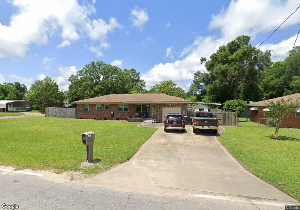
385 N 57th Ave Pensacola, FL 32506
Estimated Value: $183,486 - $214,000
--
Bed
2
Baths
1,428
Sq Ft
$138/Sq Ft
Est. Value
About This Home
This home is located at 385 N 57th Ave, Pensacola, FL 32506 and is currently estimated at $197,622, approximately $138 per square foot. 385 N 57th Ave is a home located in Escambia County with nearby schools including Myrtle Grove Elementary School, Warrington Middle School, and Escambia High School.
Ownership History
Date
Name
Owned For
Owner Type
Purchase Details
Closed on
Oct 13, 2021
Sold by
Keefer Susan Norma
Bought by
Keefer Michael Paul and Keefer Susan Norma
Current Estimated Value
Purchase Details
Closed on
Mar 18, 2005
Sold by
Butterfield Stephen J and Butterfield Henry E
Bought by
Keeper Susan N
Purchase Details
Closed on
Jul 24, 2000
Sold by
Butterfield Harry E and Butterfield Ellen Norma
Bought by
Butterfield Harry E
Purchase Details
Closed on
May 17, 2000
Sold by
Butterfield Harry E and Butterfield Ellen Norma
Bought by
Butterfield Harry E
Purchase Details
Closed on
Apr 4, 2000
Sold by
Butterfield Harry E and Butterfield Ellen Norma
Bought by
Butterfield Harry E
Create a Home Valuation Report for This Property
The Home Valuation Report is an in-depth analysis detailing your home's value as well as a comparison with similar homes in the area
Home Values in the Area
Average Home Value in this Area
Purchase History
| Date | Buyer | Sale Price | Title Company |
|---|---|---|---|
| Keefer Michael Paul | -- | None Available | |
| Keeper Susan N | -- | -- | |
| Butterfield Harry E | -- | -- | |
| Butterfield Harry E | -- | -- | |
| Butterfield Harry E | -- | -- |
Source: Public Records
Tax History Compared to Growth
Tax History
| Year | Tax Paid | Tax Assessment Tax Assessment Total Assessment is a certain percentage of the fair market value that is determined by local assessors to be the total taxable value of land and additions on the property. | Land | Improvement |
|---|---|---|---|---|
| 2024 | $800 | $93,907 | -- | -- |
| 2023 | $800 | $91,172 | $0 | $0 |
| 2022 | $773 | $88,517 | $0 | $0 |
| 2021 | $764 | $85,939 | $0 | $0 |
| 2020 | $747 | $84,753 | $0 | $0 |
| 2019 | $728 | $82,848 | $0 | $0 |
| 2018 | $722 | $81,304 | $0 | $0 |
| 2017 | $0 | $79,632 | $0 | $0 |
| 2016 | $705 | $77,995 | $0 | $0 |
| 2015 | $684 | $77,453 | $0 | $0 |
| 2014 | $671 | $76,839 | $0 | $0 |
Source: Public Records
Map
Nearby Homes
- 306 N 58th Ave
- 5535 Mayfair Cir
- 307 N 59th Ave
- 319 N 57th Ave
- 209 N 59th Ave
- 5519 Mayfair Dr
- 5391 Prieto Dr
- 307 N 57th Ave
- 6020 W Jackson St
- 5500 Lynwood Rd
- 27 Linda St
- 17 Linda St
- 801 N 57th Ave
- 134 Lovett Place
- 302 Teakwood Cir
- 6035 Schofield Dr
- 6457 Myrtle Hill Cir
- 15 Janet St
- 412 N 64th Ave
- 607, 609, 611 N 63rd Ave