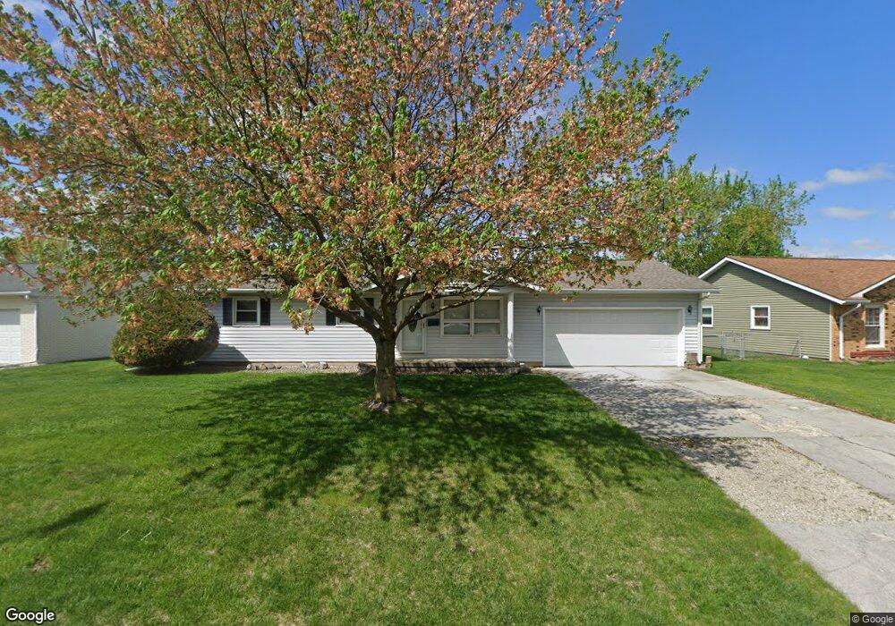
385 Northgate St Lincoln, IL 62656
Estimated Value: $154,335 - $185,000
3
Beds
--
Bath
1,040
Sq Ft
$162/Sq Ft
Est. Value
About This Home
This home is located at 385 Northgate St, Lincoln, IL 62656 and is currently estimated at $168,084, approximately $161 per square foot. 385 Northgate St is a home located in Logan County with nearby schools including Adams Elementary School, Washington-Monroe Elementary School, and Lincoln Junior High School.
Ownership History
Date
Name
Owned For
Owner Type
Purchase Details
Closed on
Aug 8, 2012
Sold by
Coers Rhonda L
Bought by
Coers Ralph A
Current Estimated Value
Purchase Details
Closed on
Jul 9, 2010
Sold by
Cotton Mildred B
Bought by
Coers Rhonda L
Home Financials for this Owner
Home Financials are based on the most recent Mortgage that was taken out on this home.
Original Mortgage
$86,000
Interest Rate
4.74%
Mortgage Type
Stand Alone First
Create a Home Valuation Report for This Property
The Home Valuation Report is an in-depth analysis detailing your home's value as well as a comparison with similar homes in the area
Home Values in the Area
Average Home Value in this Area
Purchase History
| Date | Buyer | Sale Price | Title Company |
|---|---|---|---|
| Coers Ralph A | -- | -- | |
| Coers Rhonda L | -- | -- |
Source: Public Records
Mortgage History
| Date | Status | Borrower | Loan Amount |
|---|---|---|---|
| Previous Owner | Coers Rhonda L | $86,000 |
Source: Public Records
Tax History Compared to Growth
Tax History
| Year | Tax Paid | Tax Assessment Tax Assessment Total Assessment is a certain percentage of the fair market value that is determined by local assessors to be the total taxable value of land and additions on the property. | Land | Improvement |
|---|---|---|---|---|
| 2024 | $3,122 | $45,050 | $9,060 | $35,990 |
| 2023 | $2,904 | $41,710 | $8,390 | $33,320 |
| 2022 | $2,608 | $38,980 | $7,840 | $31,140 |
| 2021 | $2,617 | $37,430 | $7,530 | $29,900 |
| 2020 | $2,567 | $36,880 | $7,420 | $29,460 |
| 2019 | $2,491 | $36,150 | $7,270 | $28,880 |
| 2018 | $2,450 | $35,440 | $7,130 | $28,310 |
| 2017 | $2,436 | $35,440 | $7,130 | $28,310 |
| 2016 | $2,371 | $35,400 | $7,120 | $28,280 |
| 2015 | $2,805 | $34,890 | $6,860 | $28,030 |
| 2014 | $2,805 | $34,890 | $6,860 | $28,030 |
| 2013 | $2,805 | $33,120 | $6,510 | $26,610 |
| 2012 | $2,805 | $33,720 | $6,630 | $27,090 |
Source: Public Records
Map
Nearby Homes
- 102 Crestwood Dr
- 103 Crestwood Dr
- 145 Half Moon St
- 180 Regent St
- 1354 Airport Rd
- 2294 Railsplitter Ave
- 2354 Railsplitter Ave
- 1503 N Kankakee St
- 1019 N Mclean St
- 1431 N Ottawa St
- 1208 N Kankakee St
- 1204 N Ottawa St
- 1107 N Kankakee St
- 311 Davenport St
- 1624 Delavan St
- 915 Peoria St
- 6 Meadow Ln
- 1227 Delavan St
- 1225 Delavan St
- 620 Tremont St
- 379 Northgate St
- 395 Northgate St
- 386 Northgate St
- 380 Northgate St
- 110 Churchill Ln
- 390 Northgate St
- 371 Northgate St
- 120 Churchill Ln
- 200 Half Moon St
- 374 Northgate St
- 400 Northgate St
- 363 Northgate St
- 215 Half Moon St
- 425 Northgate St
- 110 Crestwood Dr
- 112 Crestwood Dr
- 368 Northgate St
- 130 Churchill Ln
- 105 Churchill Ln
- 108 Crestwood Dr