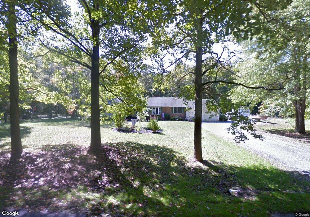
385 Pierson Rd Woodstown, NJ 08098
Estimated Value: $326,000 - $544,000
5
Beds
3
Baths
2,391
Sq Ft
$181/Sq Ft
Est. Value
About This Home
This home is located at 385 Pierson Rd, Woodstown, NJ 08098 and is currently estimated at $433,387, approximately $181 per square foot. 385 Pierson Rd is a home located in Salem County with nearby schools including Mary S. Shoemaker School and Woodstown High School.
Ownership History
Date
Name
Owned For
Owner Type
Purchase Details
Closed on
Oct 24, 2009
Sold by
Deutsche Bank National Trust Co
Bought by
Chapman Michael and Chapman Stephanie
Current Estimated Value
Home Financials for this Owner
Home Financials are based on the most recent Mortgage that was taken out on this home.
Original Mortgage
$143,000
Outstanding Balance
$92,899
Interest Rate
4.98%
Mortgage Type
Purchase Money Mortgage
Estimated Equity
$340,488
Purchase Details
Closed on
Dec 13, 1995
Sold by
Metropolitan Mtg & Securities Co Inc
Bought by
Carter Howard N and Carter Gwendolyn
Home Financials for this Owner
Home Financials are based on the most recent Mortgage that was taken out on this home.
Original Mortgage
$119,005
Interest Rate
7.04%
Create a Home Valuation Report for This Property
The Home Valuation Report is an in-depth analysis detailing your home's value as well as a comparison with similar homes in the area
Home Values in the Area
Average Home Value in this Area
Purchase History
| Date | Buyer | Sale Price | Title Company |
|---|---|---|---|
| Chapman Michael | $179,000 | -- | |
| Carter Howard N | $120,000 | -- |
Source: Public Records
Mortgage History
| Date | Status | Borrower | Loan Amount |
|---|---|---|---|
| Open | Chapman Michael | $143,000 | |
| Previous Owner | Carter Howard N | $119,005 |
Source: Public Records
Tax History Compared to Growth
Tax History
| Year | Tax Paid | Tax Assessment Tax Assessment Total Assessment is a certain percentage of the fair market value that is determined by local assessors to be the total taxable value of land and additions on the property. | Land | Improvement |
|---|---|---|---|---|
| 2025 | $8,321 | $227,600 | $75,500 | $152,100 |
| 2024 | $8,442 | $227,600 | $75,500 | $152,100 |
| 2023 | $8,442 | $227,600 | $75,500 | $152,100 |
| 2022 | $7,952 | $227,600 | $75,500 | $152,100 |
| 2021 | $7,659 | $227,600 | $75,500 | $152,100 |
| 2020 | $7,395 | $227,600 | $75,500 | $152,100 |
| 2019 | $7,179 | $227,600 | $75,500 | $152,100 |
| 2018 | $7,821 | $258,300 | $75,500 | $182,800 |
| 2017 | $7,566 | $258,300 | $75,500 | $182,800 |
| 2016 | $7,258 | $258,300 | $75,500 | $182,800 |
| 2015 | $6,716 | $258,300 | $75,500 | $182,800 |
| 2014 | $6,468 | $258,300 | $75,500 | $182,800 |
Source: Public Records
Map
Nearby Homes
- 399 Pierson Rd
- 141 Yorketown Rd
- 0 Yorketown Rd Unit NJSA139926
- 438 Bailey St
- 440 Bailey St
- 22 Alloway Rd
- 13 Alloway Rd
- 0 Williams Rd Unit NJSA2016550
- 752 Yorketown Rd
- 444 S Main St
- 150 Williams Rd
- 340 Woodstown Daretown Rd
- 64 W Millbrooke Ave
- 178 E Millbrooke Ave
- 133 Spring Garden St
- 276 Woodstown Daretown Rd
- 39 Green St
- 76 West Ave
- 35 Green St
- 47 Dickinson St
- 391 Pierson Rd
- 374 Pierson Rd
- 371 Pierson Rd
- 257 Mannington-Yorketown Rd
- 366 Pierson Rd
- 239 Mannington Yorketown Rd
- 277 Mannington Yorketown Rd
- 260 Yorketown Rd Unit MANN
- 260 Mannington Yorketown Rd
- 258 Mannington Yorketown Rd Unit MANN
- 283 Mannington Yorketown Rd
- 542 Alloway Woodstown Rd
- 235 Mannington Yorketown Rd
- 235 Yorketown Rd Unit MANN
- 528 Alloway Woodstown Rd
- 538 Alloway Woodstown Rd
- 293 Mannington Yorketown Rd
- 420 Pierson Rd
- 526 Alloway Woodstown Rd
- 541 Alloway Woodstown Rd