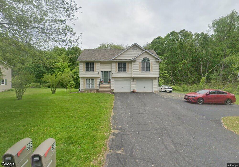
385 Pochassic Rd Westfield, MA 01085
Estimated Value: $402,000 - $485,000
3
Beds
2
Baths
1,211
Sq Ft
$358/Sq Ft
Est. Value
About This Home
This home is located at 385 Pochassic Rd, Westfield, MA 01085 and is currently estimated at $433,475, approximately $357 per square foot. 385 Pochassic Rd is a home located in Hampden County with nearby schools including Westfield High School.
Ownership History
Date
Name
Owned For
Owner Type
Purchase Details
Closed on
Nov 1, 1995
Sold by
Westwood Homes Corp
Bought by
Ploof Tracy J and Mitchell Moira E
Current Estimated Value
Home Financials for this Owner
Home Financials are based on the most recent Mortgage that was taken out on this home.
Original Mortgage
$104,900
Interest Rate
7.58%
Mortgage Type
Purchase Money Mortgage
Create a Home Valuation Report for This Property
The Home Valuation Report is an in-depth analysis detailing your home's value as well as a comparison with similar homes in the area
Home Values in the Area
Average Home Value in this Area
Purchase History
| Date | Buyer | Sale Price | Title Company |
|---|---|---|---|
| Ploof Tracy J | $119,900 | -- |
Source: Public Records
Mortgage History
| Date | Status | Borrower | Loan Amount |
|---|---|---|---|
| Closed | Ploof Tracy J | $70,000 | |
| Closed | Ploof Tracy J | $96,000 | |
| Closed | Ploof Tracy J | $104,900 |
Source: Public Records
Tax History Compared to Growth
Tax History
| Year | Tax Paid | Tax Assessment Tax Assessment Total Assessment is a certain percentage of the fair market value that is determined by local assessors to be the total taxable value of land and additions on the property. | Land | Improvement |
|---|---|---|---|---|
| 2025 | $5,815 | $383,100 | $127,600 | $255,500 |
| 2024 | $5,826 | $364,800 | $116,300 | $248,500 |
| 2023 | $5,473 | $334,400 | $110,600 | $223,800 |
| 2022 | $5,473 | $296,000 | $98,400 | $197,600 |
| 2021 | $5,303 | $280,900 | $92,800 | $188,100 |
| 2020 | $5,215 | $270,900 | $92,800 | $178,100 |
| 2019 | $5,098 | $259,200 | $88,400 | $170,800 |
| 2018 | $5,018 | $259,200 | $88,400 | $170,800 |
| 2017 | $4,917 | $253,200 | $89,700 | $163,500 |
| 2016 | $4,922 | $253,200 | $89,700 | $163,500 |
| 2015 | $4,837 | $260,900 | $89,700 | $171,200 |
| 2014 | $3,619 | $260,900 | $89,700 | $171,200 |
Source: Public Records
Map
Nearby Homes
- 291 Pochassic Rd
- 549 Russell Rd Unit 6B
- 555 Russell Rd Unit D18
- 324 Russell Rd Unit 204
- 324 Russell Rd Unit 101
- 14 Pinewood Ln
- 148 Prospect Street Extension
- 11 Highland Cir
- 745 West Rd
- 40 Heritage Ln
- 70 Yeoman Ave
- 8 Ellis St
- 113 Franklin St
- 78 Granville Rd Unit 11
- 508 Granville Rd
- 781 Western Ave
- 77 Orange St
- 13 King Place
- 10 Day Lily Ln
- 15 Bates St
- 391 Pochassic Rd
- 399 Pochassic Rd
- 332 Prospect Street Extension
- 369 Pochassic Rd
- 403 Pochassic Rd
- 326 Prospect Street Extension
- 344 Prospect Street Extension
- 409 Pochassic Rd
- 280 Prospect Street Extension
- 356 Prospect Street Extension
- 415 Pochassic Rd
- 325 Prospect Street Extension
- 323 Prospect Street Extension
- 276 Prospect Street Extension
- Lot 00 Hawks Cir
- 358 Prospect Street Extension
- 358 Prospect St
- 0 Hawks Cir
- 355 Prospect Street Extension
- 360 Prospect Street Extension