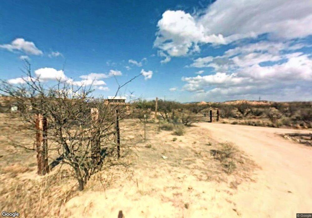
385 S Buffalo Trail Benson, AZ 85602
Estimated Value: $250,607 - $375,000
3
Beds
3
Baths
1,939
Sq Ft
$158/Sq Ft
Est. Value
About This Home
This home is located at 385 S Buffalo Trail, Benson, AZ 85602 and is currently estimated at $305,402, approximately $157 per square foot. 385 S Buffalo Trail is a home located in Cochise County with nearby schools including Pomerene Elementary School.
Ownership History
Date
Name
Owned For
Owner Type
Purchase Details
Closed on
Jan 17, 2023
Sold by
Courtney A Behm Living Trust
Bought by
Courtney Ann Behm Living Trust
Current Estimated Value
Home Financials for this Owner
Home Financials are based on the most recent Mortgage that was taken out on this home.
Original Mortgage
$209,000
Outstanding Balance
$202,406
Interest Rate
6.49%
Mortgage Type
New Conventional
Estimated Equity
$102,996
Purchase Details
Closed on
Oct 30, 2014
Sold by
Dowd James L and Dowd Amry B
Bought by
Dowd James L and Dowd Mary B
Purchase Details
Closed on
Aug 31, 2007
Sold by
Bond Ron
Bought by
Dowd James and Dowd Mary
Home Financials for this Owner
Home Financials are based on the most recent Mortgage that was taken out on this home.
Original Mortgage
$256,000
Interest Rate
6.67%
Mortgage Type
Purchase Money Mortgage
Create a Home Valuation Report for This Property
The Home Valuation Report is an in-depth analysis detailing your home's value as well as a comparison with similar homes in the area
Home Values in the Area
Average Home Value in this Area
Purchase History
| Date | Buyer | Sale Price | Title Company |
|---|---|---|---|
| Courtney Ann Behm Living Trust | -- | Pioneer Title | |
| Courtney Ann Behm Living Trust | $220,000 | Pioneer Title | |
| Dowd James L | -- | None Available | |
| Dowd James | $320,000 | Title Security Cochise |
Source: Public Records
Mortgage History
| Date | Status | Borrower | Loan Amount |
|---|---|---|---|
| Open | Courtney Ann Behm Living Trust | $209,000 | |
| Previous Owner | Dowd James | $256,000 |
Source: Public Records
Tax History Compared to Growth
Tax History
| Year | Tax Paid | Tax Assessment Tax Assessment Total Assessment is a certain percentage of the fair market value that is determined by local assessors to be the total taxable value of land and additions on the property. | Land | Improvement |
|---|---|---|---|---|
| 2025 | $1,920 | $18,839 | $3,439 | $15,400 |
| 2024 | $1,920 | $18,878 | $3,439 | $15,439 |
| 2023 | $1,844 | $16,208 | $3,439 | $12,769 |
| 2022 | $1,794 | $14,097 | $3,439 | $10,658 |
| 2021 | $1,768 | $13,234 | $3,439 | $9,795 |
| 2020 | $1,784 | $0 | $0 | $0 |
| 2019 | $1,708 | $0 | $0 | $0 |
| 2018 | $1,628 | $0 | $0 | $0 |
| 2017 | $1,628 | $0 | $0 | $0 |
| 2016 | $1,697 | $0 | $0 | $0 |
| 2015 | -- | $0 | $0 | $0 |
Source: Public Records
Map
Nearby Homes
- 0 I10 Frontage Rd East of Benson Unit 22503576
- 0 S Lonesome Rd Unit n/a 22504296
- 9.93 ac E Taylor Pass
- 000 E Taylor Pass
- 9.93 ac S Lonesome Rd
- 1778 E Ramsey Rd
- 0 E Ramsey Rd Unit 4 22307267
- 0 E Ramsey Rd Unit 3 22307265
- 1577 E Gambel Way
- TBD Ramsey Road -- Unit 3
- TBD Ramsey Road -- Unit 4
- 1050 S Dill Rd
- 0 N Sibyl Rd Unit 22504300
- 0 E Benson Airport Rd Unit 22506113
- TBD E Benson Airport Rd Unit E
- 1220 E Heartleaf Ln Unit n/a
- 1220 E Heartleaf Ln
- 176 E Artesian Ln
- 305 W Branding Iron Dr
- 1297 E Old Homestead
- 414 S Buffalo Trail
- 278 S Buffalo Trail
- 545 S Buffalo Trail
- 2391 E Rosewood Ln
- 2399 E Rosewood Ln
- 2360 E Rosewood Ln
- 140 S Buffalo Trail
- 140 S Buffalo Trail
- 2370 E Rosewood Ln
- 2350 E Rosewood Ln
- 2377 E Rosewood Ln
- 113 S Buffalo Trail
- 114 S Buffalo Trail
- 2357 E Rosewood Ln
- 2322 E Rosewood Ln
- 2356 E Adobe Rd
- 2403 E Adobe Rd
- 663 S Greenleaf Rd
- 2399 E Adobe Rd
- 2385 E Adobe Rd
