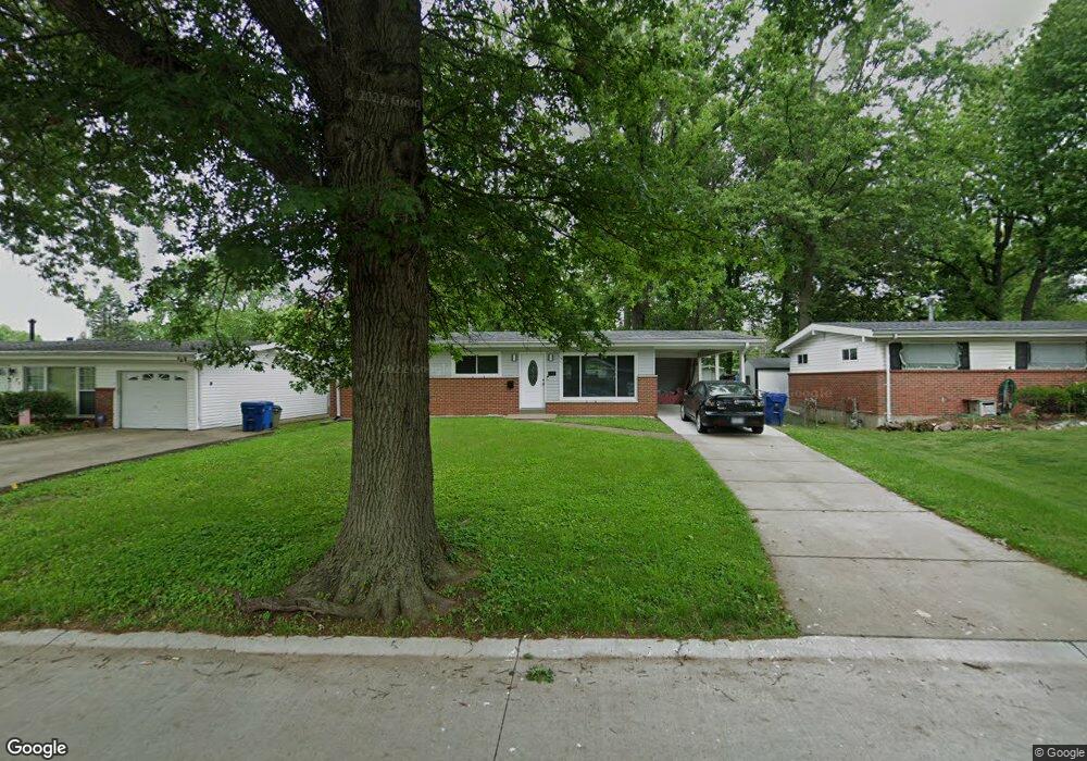
385 Saint Edward Ln Florissant, MO 63033
Estimated Value: $158,000 - $169,000
3
Beds
2
Baths
1,040
Sq Ft
$157/Sq Ft
Est. Value
About This Home
This home is located at 385 Saint Edward Ln, Florissant, MO 63033 and is currently estimated at $162,829, approximately $156 per square foot. 385 Saint Edward Ln is a home located in St. Louis County with nearby schools including Duchesne Elementary School, Cross Keys Middle School, and McCluer North High School.
Ownership History
Date
Name
Owned For
Owner Type
Purchase Details
Closed on
Jun 9, 2008
Sold by
Us Bank Na Nd
Bought by
Johnson Shunta
Current Estimated Value
Home Financials for this Owner
Home Financials are based on the most recent Mortgage that was taken out on this home.
Original Mortgage
$62,700
Outstanding Balance
$40,296
Interest Rate
6.08%
Mortgage Type
New Conventional
Estimated Equity
$122,533
Purchase Details
Closed on
Mar 13, 2008
Sold by
Knoll Edwin J
Bought by
Us Bank Na Nd
Create a Home Valuation Report for This Property
The Home Valuation Report is an in-depth analysis detailing your home's value as well as a comparison with similar homes in the area
Home Values in the Area
Average Home Value in this Area
Purchase History
| Date | Buyer | Sale Price | Title Company |
|---|---|---|---|
| Johnson Shunta | $66,000 | None Available | |
| Us Bank Na Nd | $84,180 | None Available |
Source: Public Records
Mortgage History
| Date | Status | Borrower | Loan Amount |
|---|---|---|---|
| Open | Johnson Shunta | $62,700 |
Source: Public Records
Tax History Compared to Growth
Tax History
| Year | Tax Paid | Tax Assessment Tax Assessment Total Assessment is a certain percentage of the fair market value that is determined by local assessors to be the total taxable value of land and additions on the property. | Land | Improvement |
|---|---|---|---|---|
| 2025 | $1,948 | $28,190 | $4,330 | $23,860 |
| 2024 | $1,948 | $25,060 | $3,820 | $21,240 |
| 2023 | $1,941 | $25,060 | $3,820 | $21,240 |
| 2022 | $1,563 | $17,650 | $3,820 | $13,830 |
| 2021 | $1,537 | $17,650 | $3,820 | $13,830 |
| 2020 | $1,438 | $15,580 | $3,820 | $11,760 |
| 2019 | $1,411 | $15,580 | $3,820 | $11,760 |
| 2018 | $1,258 | $12,390 | $2,130 | $10,260 |
| 2017 | $1,252 | $12,390 | $2,130 | $10,260 |
| 2016 | $1,363 | $13,170 | $2,130 | $11,040 |
| 2015 | $1,371 | $13,170 | $2,130 | $11,040 |
| 2014 | $1,594 | $15,860 | $3,570 | $12,290 |
Source: Public Records
Map
Nearby Homes
- 2240 Brook Dr
- 505 Ridge Dr
- 1965 Saint Catherine St
- 2340 Saint Catherine St
- 785 Bobbins Ln
- 12 Country Ln
- 675 Pimlico Dr
- 2505 Saint Catherine St
- 765 Pimlico Dr
- 750 Robinwood Dr
- 1030 Robinwood Dr
- 13 Bayberry Ln
- 805 Derhake Rd
- 1040 Bluefield Dr
- 1290 Saint Louis St
- 629 Aubuchon St
- 2020 Washington St Unit 707
- 150 Saint Daniel Ln
- 1130 Saint Francois St
- 1060 Preakness Ln
- 395 Saint Edward Ln
- 365 Saint Edward Ln
- 405 Saint Edward Ln
- 355 Saint Edward Ln
- 390 Larry Dr
- 400 Larry Dr
- 370 Larry Dr
- 410 Larry Dr
- 415 St Edwards Ln
- 335 Saint Edward Ln
- 360 Larry Dr
- 415 Saint Edward Ln
- 390 Saint Edward Ln
- 335 St Edward Ln
- 400 Saint Edward Ln
- 370 Saint Edward Ln
- 410 Saint Edward Ln
- 340 Larry Dr
- 420 Larry Dr
- 425 St Edward Ln