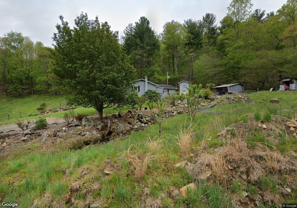
385 Shepherd Branch Rd Burnsville, NC 28714
Estimated Value: $437,000 - $566,000
3
Beds
1
Bath
1,540
Sq Ft
$311/Sq Ft
Est. Value
About This Home
This home is located at 385 Shepherd Branch Rd, Burnsville, NC 28714 and is currently estimated at $478,625, approximately $310 per square foot. 385 Shepherd Branch Rd is a home with nearby schools including Mountain Heritage High School.
Ownership History
Date
Name
Owned For
Owner Type
Purchase Details
Closed on
Dec 28, 2023
Sold by
Shepherd Julia and Shepherd Roger
Bought by
Rowlands Trevor Austin and Rowlands Jessica Taylor
Current Estimated Value
Purchase Details
Closed on
Mar 11, 2004
Bought by
Shepherd Roger and Shepherd Julia L
Create a Home Valuation Report for This Property
The Home Valuation Report is an in-depth analysis detailing your home's value as well as a comparison with similar homes in the area
Home Values in the Area
Average Home Value in this Area
Purchase History
| Date | Buyer | Sale Price | Title Company |
|---|---|---|---|
| Rowlands Trevor Austin | -- | None Listed On Document | |
| Rowlands Trevor Austin | -- | None Listed On Document | |
| Shepherd Roger | -- | -- |
Source: Public Records
Tax History Compared to Growth
Tax History
| Year | Tax Paid | Tax Assessment Tax Assessment Total Assessment is a certain percentage of the fair market value that is determined by local assessors to be the total taxable value of land and additions on the property. | Land | Improvement |
|---|---|---|---|---|
| 2025 | $1,256 | $372,400 | $216,100 | $156,300 |
| 2024 | $1,276 | $421,100 | $264,800 | $156,300 |
| 2023 | $600 | $215,260 | $131,500 | $83,760 |
| 2022 | $588 | $215,260 | $131,500 | $83,760 |
| 2021 | $600 | $215,260 | $131,500 | $83,760 |
| 2020 | $600 | $215,260 | $131,500 | $83,760 |
| 2019 | $600 | $215,260 | $131,500 | $83,760 |
| 2018 | $888 | $215,260 | $131,500 | $83,760 |
| 2017 | $888 | $215,260 | $131,500 | $83,760 |
| 2016 | $888 | $215,260 | $131,500 | $83,760 |
| 2015 | $438 | $222,970 | $154,000 | $68,970 |
| 2014 | $438 | $222,970 | $154,000 | $68,970 |
Source: Public Records
Map
Nearby Homes
- 222 Fox Creek Rd
- 351 Swiss Loop
- 456 Windy Gap Rd
- TBD US 19w Hwy
- 151 Swiss Loop
- 31 acres Scronce Creek Rd
- 2311 Old Mountain Rd
- 00 Windy Gap Rd Unit Tract B
- 211 Evergreen Rd
- 10 Blossom Dr
- 1201 Simms Fork Rd
- 99999 Windswept Dr
- 1675 Ponder Creek Rd
- 351 Buck Springs Run
- 18 Misty Meadows Rd
- 707 Lickskillet Rd
- 175 Blackberry Cove Dr Unit 11
- 384 Doan Town Rd
- 239 Pleasant Valley Rd
- Lot 38 Black Bear Run
- 285 Shepherd Branch Rd
- 296 Shepherd Branch Rd
- 000 Shepherd Branch Rd
- 233 Shepherd Branch Rd
- 556 Shepherd Branch Rd
- 217 Shepherd Branch Rd
- 81 Paradise Hill Rd
- 213 Shepherd Branch Rd
- 147 Paradise Hill Rd
- 16 Paradise Hill Rd
- 48 Shepherd Branch Rd
- 000 Shepherd Branch
- 763 Shepherd Branch Rd
- 111 Beauty Meadows
- 120 Bambud Tree Ln
- 8664 Us Highway 19
- 6 Bambud Tree Ln
- 30 Jessie Rd
- 433 Grey Wolf Rd
- 6 Jessie Rd