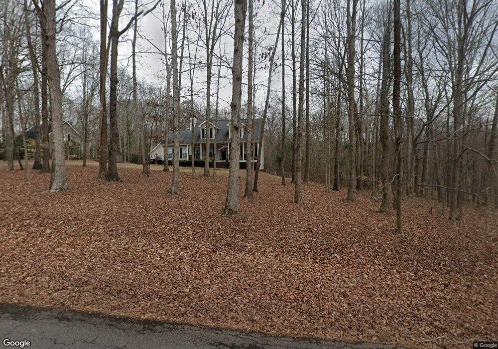
385 Staghorn Trail Unit 181 Nicholson, GA 30565
Estimated Value: $416,722 - $561,000
5
Beds
3
Baths
2,800
Sq Ft
$183/Sq Ft
Est. Value
About This Home
This home is located at 385 Staghorn Trail Unit 181, Nicholson, GA 30565 and is currently estimated at $511,931, approximately $182 per square foot. 385 Staghorn Trail Unit 181 is a home located in Jackson County with nearby schools including East Jackson Elementary School, Satilla Elementary School, and East Jackson Middle School.
Ownership History
Date
Name
Owned For
Owner Type
Purchase Details
Closed on
Jul 6, 2020
Sold by
Mcclure Christopher L
Bought by
Haley Robert Shane
Current Estimated Value
Home Financials for this Owner
Home Financials are based on the most recent Mortgage that was taken out on this home.
Original Mortgage
$205,000
Outstanding Balance
$181,780
Interest Rate
3.1%
Mortgage Type
New Conventional
Estimated Equity
$330,151
Purchase Details
Closed on
May 10, 2000
Sold by
Prescott Leon F and Prescott Ru
Bought by
Mcclure Christopher
Create a Home Valuation Report for This Property
The Home Valuation Report is an in-depth analysis detailing your home's value as well as a comparison with similar homes in the area
Home Values in the Area
Average Home Value in this Area
Purchase History
| Date | Buyer | Sale Price | Title Company |
|---|---|---|---|
| Haley Robert Shane | $315,000 | -- | |
| Mcclure Christopher | $27,000 | -- |
Source: Public Records
Mortgage History
| Date | Status | Borrower | Loan Amount |
|---|---|---|---|
| Open | Haley Robert Shane | $205,000 |
Source: Public Records
Tax History Compared to Growth
Tax History
| Year | Tax Paid | Tax Assessment Tax Assessment Total Assessment is a certain percentage of the fair market value that is determined by local assessors to be the total taxable value of land and additions on the property. | Land | Improvement |
|---|---|---|---|---|
| 2024 | $3,375 | $133,800 | $23,400 | $110,400 |
| 2023 | $3,375 | $119,320 | $23,400 | $95,920 |
| 2022 | $2,857 | $100,080 | $23,400 | $76,680 |
| 2021 | $2,880 | $100,080 | $23,400 | $76,680 |
| 2020 | $2,863 | $92,600 | $23,400 | $69,200 |
| 2019 | $2,744 | $87,520 | $23,400 | $64,120 |
| 2018 | $2,683 | $84,440 | $23,400 | $61,040 |
| 2017 | $2,675 | $83,512 | $23,400 | $60,112 |
| 2016 | $2,690 | $83,512 | $23,400 | $60,112 |
| 2015 | $2,404 | $74,512 | $14,400 | $60,112 |
| 2014 | $2,324 | $72,710 | $14,400 | $58,310 |
| 2013 | -- | $72,710 | $14,400 | $58,310 |
Source: Public Records
Map
Nearby Homes
- 750 Staghorn Trail
- 6587 Brockton Rd
- 192 Plantation Crossing
- 537 Forest Path
- 303 River Mansion Dr
- 301 Summit Heights Dr
- 829 River Fall Dr
- 410 Wilson Cemetery Rd
- 334 Summit Heights Dr
- 331 River Mansion Dr
- 698 Ivy Creek Dr
- 0 Jefferson Dr Unit 7635823
- 0 Jefferson Dr Unit 10588928
- 620 Ivy Creek Dr
- Lot 6 Stewart Loop
- Lot 5 Stewart Loop
- 385 Staghorn Trail
- 359 Staghorn Trail
- 311 Staghorn Trail
- 55 Staghorn Tines
- 55 Staghorn Tines
- 491 Staghorn Trail
- 436 Staghorn Trail
- 397 Staghorn Trail
- 390 Staghorn Trail
- 306 Staghorn Trail
- 269 Staghorn Trail
- 57 Staghorn Tines Unit 159
- 57 Staghorn Tines
- 57 Staghorn Trail
- 56 Staghorn Tines
- 59 Staghorn Tines
- 294 Tall Timber Trail
- 537 Staghorn Trail
- 230 Staghorn Trail
- 562 Staghorn Trail