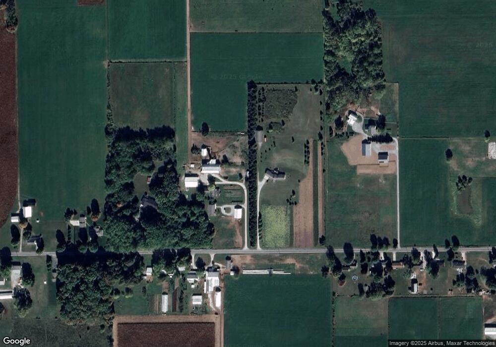
385 W 100 S Lagrange, IN 46761
Estimated Value: $222,000
Studio
2
Baths
--
Sq Ft
2,407,561
Sq Ft
About This Home
This home is located at 385 W 100 S, Lagrange, IN 46761 and is currently estimated at $222,000. 385 W 100 S is a home located in LaGrange County with nearby schools including Lakeland Jr/Sr High School, Southeast Clay School, and Countryside School.
Ownership History
Date
Name
Owned For
Owner Type
Purchase Details
Closed on
Jul 24, 2025
Sold by
Kuhns John W and Kuhns Marlin R
Bought by
Tri-County Land Truste
Current Estimated Value
Purchase Details
Closed on
Jan 30, 2025
Sold by
Miller Glen W and Miller Wilma Fern
Bought by
Kuhns John W
Purchase Details
Closed on
Jun 4, 2021
Sold by
Tri-County Land Trustee Corp
Bought by
Miller Glen W
Home Financials for this Owner
Home Financials are based on the most recent Mortgage that was taken out on this home.
Interest Rate
2.99%
Create a Home Valuation Report for This Property
The Home Valuation Report is an in-depth analysis detailing your home's value as well as a comparison with similar homes in the area
Purchase History
| Date | Buyer | Sale Price | Title Company |
|---|---|---|---|
| Tri-County Land Truste | -- | None Listed On Document | |
| Kuhns John W | -- | None Listed On Document | |
| Miller Glen W | $150,000 | -- |
Source: Public Records
Mortgage History
| Date | Status | Borrower | Loan Amount |
|---|---|---|---|
| Previous Owner | Miller Glen W | -- |
Source: Public Records
Tax History
| Year | Tax Paid | Tax Assessment Tax Assessment Total Assessment is a certain percentage of the fair market value that is determined by local assessors to be the total taxable value of land and additions on the property. | Land | Improvement |
|---|---|---|---|---|
| 2024 | $830 | $97,300 | $96,800 | $500 |
| 2023 | $684 | $78,800 | $78,300 | $500 |
| 2022 | $582 | $62,300 | $61,800 | $500 |
| 2021 | $461 | $53,700 | $53,200 | $500 |
| 2020 | $504 | $53,300 | $52,800 | $500 |
| 2019 | $631 | $64,300 | $64,300 | $0 |
| 2018 | $689 | $66,400 | $66,400 | $0 |
| 2017 | $777 | $76,300 | $76,300 | $0 |
| 2016 | $810 | $80,800 | $80,800 | $0 |
| 2014 | $830 | $83,000 | $83,000 | $0 |
| 2013 | $830 | $71,200 | $71,200 | $0 |
Source: Public Records
Map
Nearby Homes
Your Personal Tour Guide
Ask me questions while you tour the home.