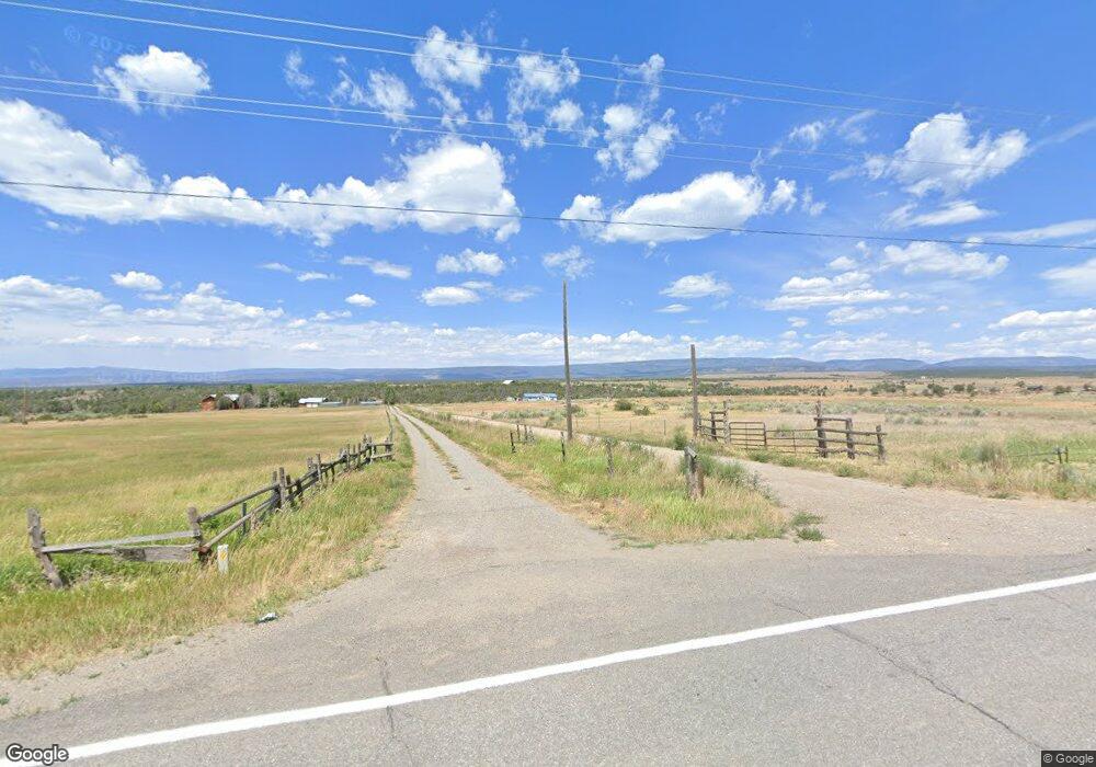
38519 Highway 145 Redvale, CO 81431
Estimated Value: $740,946 - $932,000
3
Beds
3
Baths
2,872
Sq Ft
$301/Sq Ft
Est. Value
About This Home
This home is located at 38519 Highway 145, Redvale, CO 81431 and is currently estimated at $864,737, approximately $301 per square foot. 38519 Highway 145 is a home located in Montrose County.
Ownership History
Date
Name
Owned For
Owner Type
Purchase Details
Closed on
Jun 30, 2020
Sold by
Row Howard W and Row Katherine R
Bought by
Trut George V Kirkwood Iii
Current Estimated Value
Purchase Details
Closed on
Aug 20, 1991
Sold by
Castle Richard M
Bought by
Row Howard W and Row Katherine R
Purchase Details
Closed on
Jul 26, 1988
Sold by
Tunks Donald R
Bought by
Castle Richard M
Purchase Details
Closed on
Sep 14, 1981
Sold by
Carver Brian
Bought by
Tunks Donald R
Create a Home Valuation Report for This Property
The Home Valuation Report is an in-depth analysis detailing your home's value as well as a comparison with similar homes in the area
Home Values in the Area
Average Home Value in this Area
Purchase History
| Date | Buyer | Sale Price | Title Company |
|---|---|---|---|
| Trut George V Kirkwood Iii | $550,000 | Land Title Guarantee Co | |
| Row Howard W | $75,000 | -- | |
| Castle Richard M | $50,000 | -- | |
| Tunks Donald R | $31,500 | -- |
Source: Public Records
Tax History Compared to Growth
Tax History
| Year | Tax Paid | Tax Assessment Tax Assessment Total Assessment is a certain percentage of the fair market value that is determined by local assessors to be the total taxable value of land and additions on the property. | Land | Improvement |
|---|---|---|---|---|
| 2024 | $2,492 | $37,610 | $4,460 | $33,150 |
| 2023 | $2,492 | $42,750 | $4,880 | $37,870 |
| 2022 | $1,631 | $32,680 | $3,960 | $28,720 |
| 2021 | $1,741 | $33,760 | $4,180 | $29,580 |
| 2020 | $1,168 | $28,070 | $3,880 | $24,190 |
| 2019 | $1,194 | $28,070 | $3,880 | $24,190 |
| 2018 | $1,144 | $26,030 | $3,630 | $22,400 |
| 2017 | $1,112 | $26,030 | $3,630 | $22,400 |
| 2016 | $1,016 | $25,990 | $3,550 | $22,440 |
| 2015 | $1,293 | $25,990 | $3,550 | $22,440 |
| 2014 | $1,237 | $27,790 | $3,450 | $24,340 |
Source: Public Records
Map
Nearby Homes
- 37661 Highway 145
- TBD Eagle Dr
- 0 Eagle Dr Unit 43521
- 35101 County Road 4000
- 37105 II Rd
- 0 County Road W35 Unit 11 43006
- 35860 Colorado 145
- TBD Mailbox
- 35826 Highway 145
- Lot 2 County Road W35 Unit 2
- 2 County Road W35
- 32116 Highway 145
- 268 County Road Aa42
- 268 County Road Aa42 Frontage Rd
- 112 Buckboard Dr
- 1249 Ragsdale Rd
- 500/510 Iron Mountain Trail
- 120 S Oro #3 Place Unit 3
- 125 S Oro #4 Place Unit 4
- 1135 Grand Ave
- 38520 Highway 145 Unit 38522
- 38519 Highway 145
- 38227 Highway 145
- 38774 Highway 145
- 35500 3900 Rd
- 38230 Highway 145
- 35755 39 Rd
- TBD 3900 Rd
- 35574 39 Rd
- 37915 Highway 145
- 35756 3900 Rd
- 35756 3900 Rd Unit 3
- 35756 3900 Rd
- 3900 Road
- 35676 3775 Rd
- 35985 3775 Rd
- 37874 Highway 145
- 35386 3775 Rd
- 39246 Highway 145
- 35421 3775 Rd
