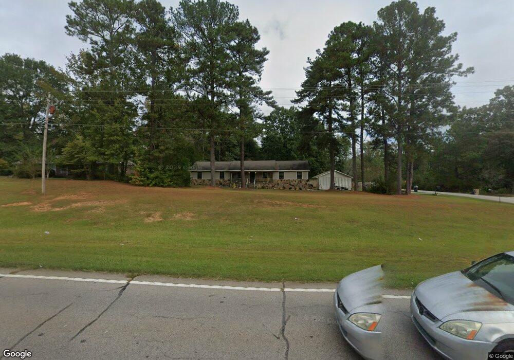
3852 Roanoke Rd Lagrange, GA 30240
Estimated Value: $196,000 - $296,000
3
Beds
2
Baths
1,908
Sq Ft
$136/Sq Ft
Est. Value
About This Home
This home is located at 3852 Roanoke Rd, Lagrange, GA 30240 and is currently estimated at $259,604, approximately $136 per square foot. 3852 Roanoke Rd is a home located in Troup County with nearby schools including Ethel W. Kight Elementary School, Hollis Hand Elementary School, and Franklin Forest Elementary School.
Ownership History
Date
Name
Owned For
Owner Type
Purchase Details
Closed on
Sep 25, 2025
Sold by
Sargent Jeffrey B
Bought by
Longshore Sargent Valerie and Sargent Jeffrey B
Current Estimated Value
Home Financials for this Owner
Home Financials are based on the most recent Mortgage that was taken out on this home.
Original Mortgage
$234,025
Outstanding Balance
$233,816
Interest Rate
6.56%
Mortgage Type
Purchase Money Mortgage
Estimated Equity
$25,788
Purchase Details
Closed on
Feb 29, 2008
Sold by
Mitchell Randall Larry
Bought by
Sargent Jeffery B
Purchase Details
Closed on
Aug 1, 1982
Sold by
Ray W Adams
Bought by
Mitchell Randall Larry
Purchase Details
Closed on
Apr 23, 1982
Sold by
Loy G Phillips
Bought by
Ray W Adams
Purchase Details
Closed on
Oct 7, 1977
Sold by
Ray Adams?
Bought by
Loy G Phillips
Purchase Details
Closed on
Oct 28, 1975
Bought by
Ray Adams?
Create a Home Valuation Report for This Property
The Home Valuation Report is an in-depth analysis detailing your home's value as well as a comparison with similar homes in the area
Purchase History
| Date | Buyer | Sale Price | Title Company |
|---|---|---|---|
| Longshore Sargent Valerie | -- | -- | |
| Sargent Jeffery B | $154,000 | -- | |
| Mitchell Randall Larry | $30,000 | -- | |
| Ray W Adams | $5,000 | -- | |
| Loy G Phillips | $6,000 | -- | |
| Ray Adams? | -- | -- |
Source: Public Records
Mortgage History
| Date | Status | Borrower | Loan Amount |
|---|---|---|---|
| Open | Longshore Sargent Valerie | $234,025 |
Source: Public Records
Tax History
| Year | Tax Paid | Tax Assessment Tax Assessment Total Assessment is a certain percentage of the fair market value that is determined by local assessors to be the total taxable value of land and additions on the property. | Land | Improvement |
|---|---|---|---|---|
| 2025 | $2,011 | $79,120 | $14,000 | $65,120 |
| 2024 | $1,842 | $69,520 | $14,000 | $55,520 |
| 2023 | $1,732 | $65,480 | $10,000 | $55,480 |
| 2022 | $1,635 | $60,560 | $8,000 | $52,560 |
| 2021 | $1,706 | $58,560 | $8,000 | $50,560 |
| 2020 | $1,706 | $58,560 | $8,000 | $50,560 |
| 2019 | $1,547 | $53,280 | $8,000 | $45,280 |
| 2018 | $1,537 | $50,960 | $8,000 | $42,960 |
| 2017 | $1,477 | $50,960 | $8,000 | $42,960 |
Source: Public Records
Map
Nearby Homes
- 709 Vernon Ferry Rd
- 129 Angela East Dr
- 4.5 ACRES Whatley Rd N
- 0 Deming St Unit 10550189
- 0 Salem Rd Tract 2 Unit 10675187
- 213 Linda Ln
- 104 Dogwood Point
- 110 Thomas Dr
- 98 Hearn Rd
- 4004 White Oak Ln
- 112 Foxdale Dr
- 40 River Point Dr
- 16 River Point Dr
- 474 Newton Rd
- 113 Colonial Ct
- 101 Ivy Springs Dr
- 311 Cumberland Dr
- 245 Teaver Rd
- 104 Independence Ct
- 203 Shawnee Dr
- 3864 Roanoke Rd
- 101 Paddle Wheel Dr
- 100 Paddle Wheel Dr
- 949 Vernon Ferry Rd
- 210 Old Pyne Rd
- 923 Vernon Ferry Rd
- 102 Paddle Wheel Dr
- 103 Paddle Wheel Dr
- 184 Old Pyne Rd
- 102 Paddlewheel Dr
- 909 Vernon Ferry Rd
- 164 Old Pyne Rd
- 105 Paddlewheel Dr
- 104 Paddle Wheel Dr
- 105 Paddle Wheel Dr
- 895 Vernon Ferry Rd
- 225 Old Pyne Rd
- 237 Old Pyne Rd
- 209 Old Pyne Rd
- 3910 Roanoke Rd
Your Personal Tour Guide
Ask me questions while you tour the home.