3852 W Red Sands Rd Riverton, UT 84065
Estimated Value: $761,000 - $878,987
3
Beds
2
Baths
4,027
Sq Ft
$203/Sq Ft
Est. Value
About This Home
This home is located at 3852 W Red Sands Rd, Riverton, UT 84065 and is currently estimated at $816,497, approximately $202 per square foot. 3852 W Red Sands Rd is a home located in Salt Lake County with nearby schools including Rose Creek School, Oquirrh Hills Middle School, and Riverton High School.
Ownership History
Date
Name
Owned For
Owner Type
Purchase Details
Closed on
Apr 11, 2016
Sold by
Ivory Homes Ltd
Bought by
Thomas Blake J and Thomas Darla N
Current Estimated Value
Home Financials for this Owner
Home Financials are based on the most recent Mortgage that was taken out on this home.
Original Mortgage
$380,000
Outstanding Balance
$301,291
Interest Rate
3.62%
Mortgage Type
New Conventional
Estimated Equity
$515,206
Create a Home Valuation Report for This Property
The Home Valuation Report is an in-depth analysis detailing your home's value as well as a comparison with similar homes in the area
Home Values in the Area
Average Home Value in this Area
Purchase History
| Date | Buyer | Sale Price | Title Company |
|---|---|---|---|
| Thomas Blake J | -- | Cottonwood Title Insurance A | |
| Ivory Homes Ltd | -- | Cottonwood Title |
Source: Public Records
Mortgage History
| Date | Status | Borrower | Loan Amount |
|---|---|---|---|
| Open | Thomas Blake J | $380,000 |
Source: Public Records
Tax History Compared to Growth
Tax History
| Year | Tax Paid | Tax Assessment Tax Assessment Total Assessment is a certain percentage of the fair market value that is determined by local assessors to be the total taxable value of land and additions on the property. | Land | Improvement |
|---|---|---|---|---|
| 2025 | $4,437 | $802,100 | $241,200 | $560,900 |
| 2024 | $4,437 | $767,900 | $231,000 | $536,900 |
| 2023 | $4,500 | $734,200 | $226,400 | $507,800 |
| 2022 | $4,673 | $748,000 | $222,000 | $526,000 |
| 2021 | $3,937 | $561,100 | $177,600 | $383,500 |
| 2020 | $3,886 | $516,300 | $177,600 | $338,700 |
| 2019 | $3,848 | $502,700 | $143,200 | $359,500 |
| 2018 | $3,672 | $472,200 | $139,900 | $332,300 |
| 2017 | $3,584 | $449,200 | $139,900 | $309,300 |
| 2016 | $3,479 | $418,400 | $139,900 | $278,500 |
| 2015 | $2,750 | $320,600 | $138,500 | $182,100 |
Source: Public Records
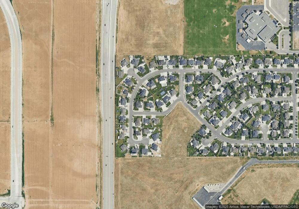
Map
Nearby Homes
- 2012 Canyon Lands Dr Unit 3103
- 11881 S Harvest Gold Way
- 13155 S 3600 W
- 4206 W Dead Horse Ct Unit 481
- 4219 W Millsite Park Ct
- 12988 S Cohab Canyon Ct
- 4243 W Park Lake Ct
- 12941 S Corona Arch Ct Unit 571
- 12737 S Quail Lake Dr
- 3431 W Johnson Creek Cove
- 12644 S Quail Lake Dr
- 4191 W 13400 S
- 4177 W 13400 S
- 3428 W Chatel Dr
- 12687 Verona Creek Way
- 12580 S Janice Dr
- 12937 Old Country Ct
- 13667 S 3870 W
- 3404 W Trentino Dr
- 12501 S Huron Rd
- 3852 W Red Sands Rd
- 3836 W Red Sands Rd
- 3866 W Red Sands Rd
- 12951 S Sand Creek Dr
- 3853 W Red Sands Rd
- 3841 W Red Sands Rd
- 3828 W Red Sands Rd
- 3853 W Sand Creek Dr
- 13001 S Sand Creek Dr
- 3854 W Sand Oak Cir
- 3839 W Sand Creek Dr
- 3839 W Sand Creek Dr
- 3816 W Red Sands Rd
- 12984 S Sand Creek Dr
- 12968 S Sand Creek Dr
- 3868 W Sand Oak Cir
- 12954 S Sand Creek Dr
- 12934 S Sandy Slope Cir
- 12996 S Sand Creek Dr
- 3844 W Sand Oak Cir