38528 County Road 65 Galeton, CO 80622
Estimated Value: $477,000 - $736,000
4
Beds
3
Baths
2,394
Sq Ft
$266/Sq Ft
Est. Value
About This Home
This home is located at 38528 County Road 65, Galeton, CO 80622 and is currently estimated at $636,331, approximately $265 per square foot. 38528 County Road 65 is a home located in Weld County with nearby schools including Eaton High School.
Ownership History
Date
Name
Owned For
Owner Type
Purchase Details
Closed on
Nov 10, 2021
Sold by
Carroll Dale R
Bought by
Carroll Matthew Edwards
Current Estimated Value
Home Financials for this Owner
Home Financials are based on the most recent Mortgage that was taken out on this home.
Original Mortgage
$428,723
Outstanding Balance
$392,960
Interest Rate
3.01%
Mortgage Type
FHA
Estimated Equity
$243,371
Purchase Details
Closed on
Nov 8, 2021
Sold by
Ann Carroll Patricia
Bought by
Estes Kimberly and Clance Trella
Home Financials for this Owner
Home Financials are based on the most recent Mortgage that was taken out on this home.
Original Mortgage
$428,723
Outstanding Balance
$392,960
Interest Rate
3.01%
Mortgage Type
FHA
Estimated Equity
$243,371
Purchase Details
Closed on
Oct 31, 2006
Sold by
Stewart Paul A and Stewart Jeanette M
Bought by
Carroll Dale R and Carroll Patricia A
Home Financials for this Owner
Home Financials are based on the most recent Mortgage that was taken out on this home.
Original Mortgage
$100,000
Interest Rate
6.37%
Mortgage Type
Unknown
Purchase Details
Closed on
Apr 11, 2003
Sold by
New Frontier Bank
Bought by
Stewart Paul A and Stewart Jeanette M
Home Financials for this Owner
Home Financials are based on the most recent Mortgage that was taken out on this home.
Original Mortgage
$92,000
Interest Rate
5.71%
Purchase Details
Closed on
Nov 6, 2002
Sold by
Dorsey Stanley A and Dorsey Karen L
Bought by
New Frontier Bank
Purchase Details
Closed on
Sep 19, 2002
Sold by
Dorsey Stanley A and Dorsey Karen L
Bought by
New Frontier Bank
Purchase Details
Closed on
Jul 16, 2001
Sold by
Maher D Michael
Bought by
Dorsey Stanley A and Dorsey Karen L
Home Financials for this Owner
Home Financials are based on the most recent Mortgage that was taken out on this home.
Original Mortgage
$157,500
Interest Rate
7.07%
Purchase Details
Closed on
Mar 29, 2001
Sold by
Dorsey Stanley A and Dorsey Karen L
Bought by
Maher D Michael
Purchase Details
Closed on
May 22, 1990
Bought by
Maifeld Ronnie G and Maifeld Margaret Beth
Purchase Details
Closed on
Nov 25, 1986
Purchase Details
Closed on
Nov 21, 1986
Purchase Details
Closed on
Dec 29, 1961
Create a Home Valuation Report for This Property
The Home Valuation Report is an in-depth analysis detailing your home's value as well as a comparison with similar homes in the area
Home Values in the Area
Average Home Value in this Area
Purchase History
| Date | Buyer | Sale Price | Title Company |
|---|---|---|---|
| Carroll Matthew Edwards | -- | -- | |
| Estes Kimberly | $500,000 | None Listed On Document | |
| Carroll Dale R | $263,900 | Security Title | |
| Stewart Paul A | $210,000 | -- | |
| New Frontier Bank | -- | -- | |
| New Frontier Bank | -- | -- | |
| Dorsey Stanley A | -- | Stewart Title | |
| Maher D Michael | -- | -- | |
| Maifeld Ronnie G | -- | -- | |
| -- | -- | -- | |
| -- | -- | -- | |
| -- | -- | -- |
Source: Public Records
Mortgage History
| Date | Status | Borrower | Loan Amount |
|---|---|---|---|
| Open | Estes Kimberly | $428,723 | |
| Previous Owner | Carroll Dale R | $100,000 | |
| Previous Owner | Stewart Paul A | $92,000 | |
| Previous Owner | Dorsey Stanley A | $157,500 |
Source: Public Records
Tax History Compared to Growth
Tax History
| Year | Tax Paid | Tax Assessment Tax Assessment Total Assessment is a certain percentage of the fair market value that is determined by local assessors to be the total taxable value of land and additions on the property. | Land | Improvement |
|---|---|---|---|---|
| 2025 | $1,856 | $25,680 | $540 | $25,140 |
| 2024 | $1,856 | $25,680 | $540 | $25,140 |
| 2023 | $1,643 | $31,940 | $550 | $31,390 |
| 2022 | $1,748 | $27,530 | $540 | $26,990 |
| 2021 | $2,058 | $28,610 | $590 | $28,020 |
| 2020 | $1,066 | $23,460 | $570 | $22,890 |
| 2019 | $1,094 | $23,460 | $570 | $22,890 |
| 2018 | $1,299 | $24,550 | $540 | $24,010 |
| 2017 | $1,333 | $24,550 | $540 | $24,010 |
| 2016 | $1,177 | $21,710 | $510 | $21,200 |
| 2015 | $1,147 | $21,710 | $510 | $21,200 |
| 2014 | $901 | $16,910 | $460 | $16,450 |
Source: Public Records
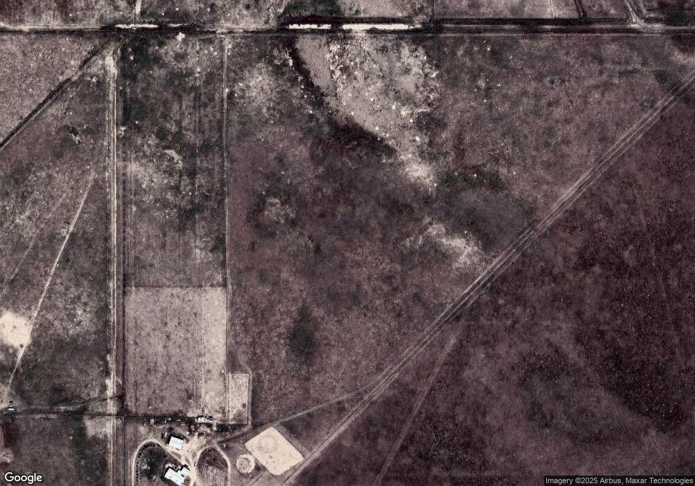
Map
Nearby Homes
- 0 County Road 80 Unit 1043209
- 0 Country Road 78 Unit 973891
- 1 County Road 78
- 0 County Road 84 Lot C
- 0 Lot I County Road 43 and 96 Unit 1023862
- 34498 Highway 392
- 0 Lot J County Road 43 and 96 Unit 1023861
- 34547 County Road 61
- 0 County Road 78 Unit 11184898
- 0 County Road 78 Unit 17154861
- 29899 County Road 88
- 39306 County Road 79
- 36775 County Road 53
- 0 Wcr 85 Briggsdale
- 227 Milton St
- 2 Colorado 14
- 1 Colorado 14
- 39445 Main St
- 39238 Boulevard E
- 39236 Boulevard E
- 38533 County Road 65
- 38517 County Road 65
- 38524 County Road 65
- 38516 County Road 65
- 0 County Road 80 Unit 1041165
- 0 County Road 80 Unit 1036101
- 0 County Road 80 Unit 1012526
- 0 County Road 80 Unit 396623
- 0 County Road 80 Unit 349138
- 0 County Road 80 Unit 246498
- 0 County Road 80 Unit 441172
- 0 County Road 80 Unit 437093
- 0 County Road 80 Unit 434195
- 0 County Road 80 Unit 346330
- 0 County Road 80 Unit 441106
- 0 County Road 80 Unit 836689
- 0 County Road 80 Unit 833136
- 0 County Road 80 Unit 925988
- 0 County Road 80 Unit 910227
- 0 County Road 80 Unit 888829