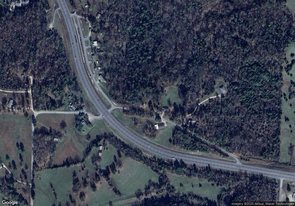
3854 Browning Rd Benton, AR 72019
Estimated Value: $223,000 - $384,000
--
Bed
1
Bath
1,536
Sq Ft
$184/Sq Ft
Est. Value
About This Home
This home is located at 3854 Browning Rd, Benton, AR 72019 and is currently estimated at $282,067, approximately $183 per square foot. 3854 Browning Rd is a home located in Saline County with nearby schools including Ringgold Elementary School, Benton Middle School, and Benton Junior High School.
Ownership History
Date
Name
Owned For
Owner Type
Purchase Details
Closed on
Jul 31, 2025
Sold by
Salazar Sherrie R
Bought by
Lane Logistics Llc
Current Estimated Value
Purchase Details
Closed on
Feb 18, 2019
Sold by
Cockrell Deloma
Bought by
Salazar Sherrie R
Purchase Details
Closed on
Nov 21, 2014
Sold by
Cockrell Deloma and Cockrell Charles L
Bought by
Deloma Cockrell Revocable Trust
Purchase Details
Closed on
Feb 19, 2007
Sold by
Williams Virginia and Williams Darrell
Bought by
Cockrell Charles L and Cockrell Deloma
Purchase Details
Closed on
May 1, 1993
Bought by
Cockrell
Create a Home Valuation Report for This Property
The Home Valuation Report is an in-depth analysis detailing your home's value as well as a comparison with similar homes in the area
Home Values in the Area
Average Home Value in this Area
Purchase History
| Date | Buyer | Sale Price | Title Company |
|---|---|---|---|
| Lane Logistics Llc | -- | None Listed On Document | |
| Salazar Sherrie R | -- | None Available | |
| Deloma Cockrell Revocable Trust | -- | None Available | |
| Cockrell Charles L | -- | -- | |
| Cockrell | -- | -- |
Source: Public Records
Tax History Compared to Growth
Tax History
| Year | Tax Paid | Tax Assessment Tax Assessment Total Assessment is a certain percentage of the fair market value that is determined by local assessors to be the total taxable value of land and additions on the property. | Land | Improvement |
|---|---|---|---|---|
| 2025 | $1,973 | $38,235 | $18,948 | $19,287 |
| 2024 | $2,083 | $40,377 | $18,948 | $21,429 |
| 2023 | $2,083 | $40,377 | $18,948 | $21,429 |
| 2022 | $1,944 | $40,377 | $18,948 | $21,429 |
| 2021 | $1,767 | $34,250 | $11,820 | $22,430 |
| 2020 | $1,767 | $34,250 | $11,820 | $22,430 |
| 2019 | $1,062 | $30,470 | $11,820 | $18,650 |
| 2018 | $1,087 | $30,470 | $11,820 | $18,650 |
| 2017 | $1,087 | $30,470 | $11,820 | $18,650 |
| 2016 | $1,454 | $33,150 | $11,820 | $21,330 |
| 2015 | $1,104 | $33,150 | $11,820 | $21,330 |
| 2014 | $1,104 | $28,180 | $11,820 | $16,360 |
Source: Public Records
Map
Nearby Homes
- 16059 Hwy 70
- 12700 Cabin Creek Loop
- 0000 Fawn Glade
- 7000 Rolling Manor Dr
- 7024 Hannah Ln
- 5.89 acres Detherage Rd
- 5.80 acres Detherage Rd
- 2550 Smith Ford Rd
- 2624 White Tail St
- 4051 Whitney Ln
- 6115 Point View Rd
- 4109 Hampton Dr
- 3350 White Tail St
- 2009 Berkshire Dr
- 203 Playmore St
- 3914 Beacon Cove
- 00000 Crossroads
- 8903 & 8905 Fairplay Rd
- 7035 Point View Rd
- Exit 114 Interstate 30 Service Rd
- 4098 Browning Rd
- 3508 Browning Rd
- 3198 Fairplay Rd
- 3177 Fairplay Rd
- 0 Browning Rd
- 3426 Browning Rd
- 3410 Browning Rd
- 15219 Highway 70
- 2899 Hubbard Rd
- 2313 Hollowoa Rd
- 2995 Hubbard Rd
- 2309 Hollowoa Rd
- 1768 Hickory Thickett Dr
- 3532 Fairplay Rd
- 3430 Fairplay Rd
- 2200 Aep Rd
- 15425 Highway 70
- 15425 Hwy 70
- 0 Lonesome Dove Trail
- 3429 Fairplay Rd
