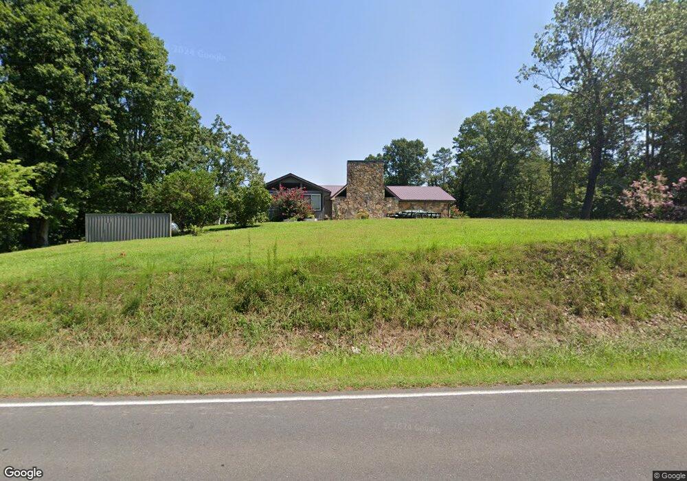
3855 Airport Rd SE Dalton, GA 30721
Estimated Value: $359,201 - $378,000
--
Bed
3
Baths
2,872
Sq Ft
$128/Sq Ft
Est. Value
About This Home
This home is located at 3855 Airport Rd SE, Dalton, GA 30721 and is currently estimated at $367,800, approximately $128 per square foot. 3855 Airport Rd SE is a home located in Whitfield County with nearby schools including Cedar Ridge Elementary School, Eastbrook Middle School, and Southeast Whitfield County High School.
Ownership History
Date
Name
Owned For
Owner Type
Purchase Details
Closed on
Jul 29, 2002
Sold by
Chastine Stephen P
Bought by
Chastain Leon Toby
Current Estimated Value
Purchase Details
Closed on
Apr 13, 2001
Sold by
Key Carl J and Betty Jo
Bought by
Chastine Stephen P
Purchase Details
Closed on
Jan 14, 1999
Bought by
Key Carl J and Betty Jo
Create a Home Valuation Report for This Property
The Home Valuation Report is an in-depth analysis detailing your home's value as well as a comparison with similar homes in the area
Home Values in the Area
Average Home Value in this Area
Purchase History
| Date | Buyer | Sale Price | Title Company |
|---|---|---|---|
| Chastain Leon Toby | $166,500 | -- | |
| Chastine Stephen P | $145,000 | -- | |
| Key Carl J | $126,000 | -- |
Source: Public Records
Tax History Compared to Growth
Tax History
| Year | Tax Paid | Tax Assessment Tax Assessment Total Assessment is a certain percentage of the fair market value that is determined by local assessors to be the total taxable value of land and additions on the property. | Land | Improvement |
|---|---|---|---|---|
| 2024 | $3,082 | $145,574 | $8,576 | $136,998 |
| 2023 | $3,082 | $108,086 | $5,488 | $102,598 |
| 2022 | $2,443 | $91,400 | $5,386 | $86,014 |
| 2021 | $2,444 | $91,400 | $5,386 | $86,014 |
| 2020 | $2,516 | $91,400 | $5,386 | $86,014 |
| 2019 | $2,551 | $91,400 | $5,386 | $86,014 |
| 2018 | $2,554 | $90,343 | $4,329 | $86,014 |
| 2017 | $2,555 | $90,343 | $4,329 | $86,014 |
| 2016 | $2,234 | $82,560 | $4,329 | $78,231 |
| 2014 | $2,062 | $83,995 | $5,764 | $78,231 |
| 2013 | -- | $83,994 | $5,763 | $78,231 |
Source: Public Records
Map
Nearby Homes
- 3657 Airport Rd
- 01 Headrick Cir SE
- 00 Headrick Cir SE
- 1142 Ben Hill Rd SE
- 760 Keith Rd SE
- 4322 Banks Dr SE
- 2200 Ridge Rd SE
- 185 Cedar Ridge Rd
- 1271 Ridge Rd SE
- 296 Wagner Dr
- 0 Tibbs Bridge Rd SE
- 4386 Tibbs Bridge Rd SE
- 00 Tibbs Bridge Rd
- 00 Hill Rd
- 00 Gaines Rd SE
- 1401 Eastbrook Dr SE
- 741 North Dr SE
- TBD Old Grade Rd
- 0 Old Grade Rd
- 4988 Tibbs Bridge Rd SE
- 3851 Airport Rd SE
- 3874 Airport Rd SE
- 3823 Airport Rd SE
- 3825 Airport Rd SE
- 3880 Airport Rd SE
- 3881 Airport Rd SE
- 1219 Miller Rd SE
- 3795 Brock Rd SE
- 3816 Brock Rd SE
- 3900 Airport Rd SE
- 3812 Brock Rd SE
- 3804 Airport Rd SE
- 3887 Airport Rd SE
- 3807 Airport Rd SE
- 3987 Airport Rd SE
- 3891 Airport Rd SE
- 1222 Miller Rd SE
- 190 Gary Dr
- 1212 Miller Rd SE
- 1244 Miller Rd SE