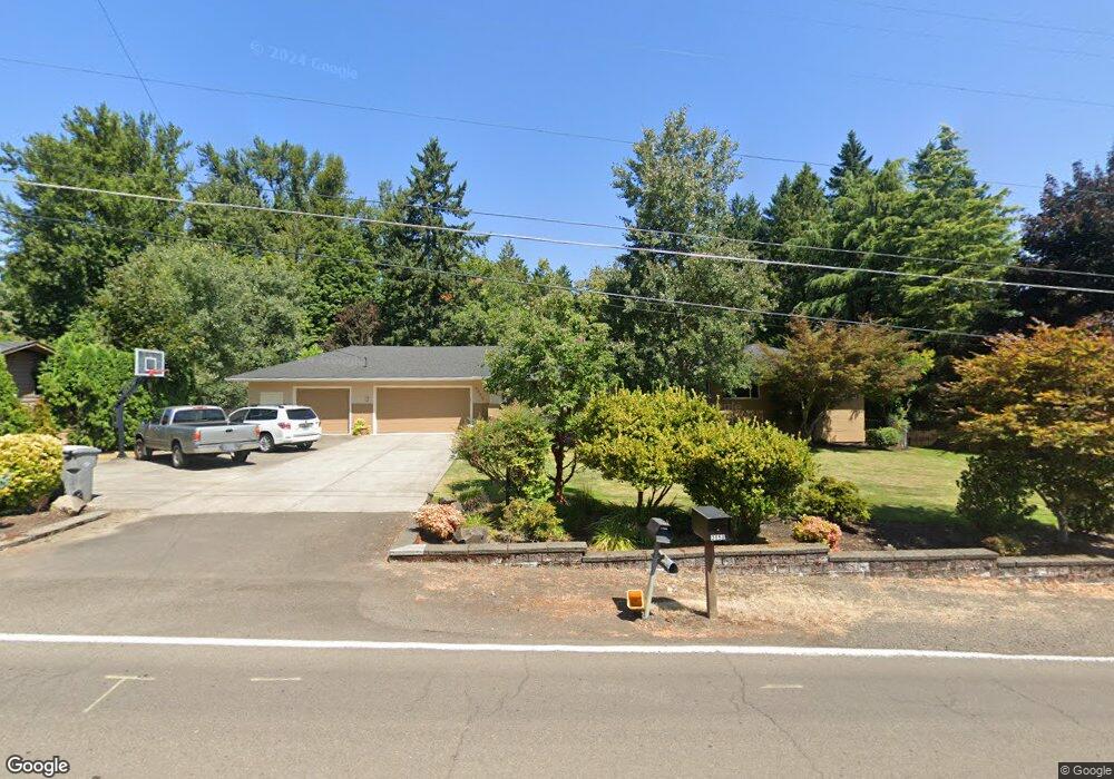
3855 Cedaroak Dr West Linn, OR 97068
Robinwood NeighborhoodEstimated Value: $1,000,000 - $1,129,000
4
Beds
4
Baths
3,817
Sq Ft
$281/Sq Ft
Est. Value
About This Home
This home is located at 3855 Cedaroak Dr, West Linn, OR 97068 and is currently estimated at $1,073,495, approximately $281 per square foot. 3855 Cedaroak Dr is a home located in Clackamas County with nearby schools including Cedaroak Park Primary School, West Linn High School, and Harmony Academy.
Ownership History
Date
Name
Owned For
Owner Type
Purchase Details
Closed on
Jan 6, 2003
Sold by
Weisensee Stephen E and Weisensee Ann E
Bought by
Kilstrom Lonn K and Kilstrom Ann M
Current Estimated Value
Home Financials for this Owner
Home Financials are based on the most recent Mortgage that was taken out on this home.
Original Mortgage
$250,000
Outstanding Balance
$105,995
Interest Rate
6.06%
Estimated Equity
$967,500
Create a Home Valuation Report for This Property
The Home Valuation Report is an in-depth analysis detailing your home's value as well as a comparison with similar homes in the area
Home Values in the Area
Average Home Value in this Area
Purchase History
| Date | Buyer | Sale Price | Title Company |
|---|---|---|---|
| Kilstrom Lonn K | $339,000 | Fidelity Natl Title Co Of Or |
Source: Public Records
Mortgage History
| Date | Status | Borrower | Loan Amount |
|---|---|---|---|
| Open | Kilstrom Lonn K | $250,000 |
Source: Public Records
Tax History Compared to Growth
Tax History
| Year | Tax Paid | Tax Assessment Tax Assessment Total Assessment is a certain percentage of the fair market value that is determined by local assessors to be the total taxable value of land and additions on the property. | Land | Improvement |
|---|---|---|---|---|
| 2025 | $11,475 | $595,427 | -- | -- |
| 2024 | $11,045 | $578,085 | -- | -- |
| 2023 | $11,045 | $561,248 | $0 | $0 |
| 2022 | $10,425 | $544,901 | $0 | $0 |
| 2021 | $9,896 | $529,031 | $0 | $0 |
| 2020 | $9,928 | $513,623 | $0 | $0 |
| 2019 | $9,502 | $498,664 | $0 | $0 |
| 2018 | $8,933 | $484,140 | $0 | $0 |
| 2017 | $8,515 | $470,039 | $0 | $0 |
| 2016 | $8,116 | $456,349 | $0 | $0 |
| 2015 | $7,533 | $443,057 | $0 | $0 |
| 2014 | $7,132 | $430,152 | $0 | $0 |
Source: Public Records
Map
Nearby Homes
- 3893 Cedaroak Dr
- 3896 Cedaroak Dr
- 3820 Kenthorpe Way
- 4610 Kenthorpe Way
- 3910 Calaroga Cir
- 19155 Nixon Ave
- 19885 Willamette Dr
- 4400 Calaroga Dr
- 18711 Willamette Dr
- 4622 Mapleton Dr
- 3777 Parkwood Way
- 19770 Wildwood Dr
- 19623 White Cloud Cir
- 19788 Wildwood Dr
- 19775 Wildwood Dr
- 20070 Larkspur Ln Unit 61
- 20080 Larkspur Ln Unit 50
- 18649 Old River Dr
- 3340 Arbor Dr
- 20120 Larkspur Ln Unit 85
- 3801 Cedaroak Dr
- 3955 Cedaroak Dr
- 3850 Cedaroak Dr
- 3751 Cedaroak Dr
- 3780 Cedaroak Dr
- 3927 Ridgewood Way
- 3915 Cedaroak Dr
- 3879 Kenthorpe Way
- 3969 Ridgewood Way
- 3815 Kenthorpe Way
- 3791 Kenthorpe Way
- 3875 Ridgewood Way
- 3753 Kenthorpe Way
- 3833 Kenthorpe Way
- 19055 Trillium Dr
- 3979 Kenthorpe Way
- 3825 Ridgewood Way
- 19075 Trillium Dr
- 3707 Cedaroak Dr