3856 Hillsdale Dr Auburn Hills, MI 48326
Estimated Value: $492,000 - $542,000
3
Beds
3
Baths
2,668
Sq Ft
$195/Sq Ft
Est. Value
About This Home
This home is located at 3856 Hillsdale Dr, Auburn Hills, MI 48326 and is currently estimated at $521,379, approximately $195 per square foot. 3856 Hillsdale Dr is a home located in Oakland County with nearby schools including Rogers Elementary, Pontiac Middle School, and Pontiac High School.
Ownership History
Date
Name
Owned For
Owner Type
Purchase Details
Closed on
Mar 14, 2011
Sold by
James E Butrum Living Trust
Bought by
Gray David M and Gray Ann E
Current Estimated Value
Purchase Details
Closed on
Aug 11, 2003
Sold by
Bradley Judith J
Bought by
Bradley Judith J and Judith J Bradley Living Trust
Purchase Details
Closed on
Feb 18, 2003
Sold by
Sioshansi Mehraban and Sioshansi Mitra
Bought by
Bradley Judith J and Butrum James E
Purchase Details
Closed on
Oct 14, 1999
Sold by
Heritage Auburn Hills
Bought by
Sioshansi Mehraban
Create a Home Valuation Report for This Property
The Home Valuation Report is an in-depth analysis detailing your home's value as well as a comparison with similar homes in the area
Home Values in the Area
Average Home Value in this Area
Purchase History
| Date | Buyer | Sale Price | Title Company |
|---|---|---|---|
| Gray David M | $169,000 | None Available | |
| Bradley Judith J | -- | -- | |
| Butrum James E | -- | -- | |
| Bradley Judith J | -- | Devon Title Agency | |
| Sioshansi Mehraban | $281,365 | -- |
Source: Public Records
Tax History Compared to Growth
Tax History
| Year | Tax Paid | Tax Assessment Tax Assessment Total Assessment is a certain percentage of the fair market value that is determined by local assessors to be the total taxable value of land and additions on the property. | Land | Improvement |
|---|---|---|---|---|
| 2024 | $2,197 | $246,600 | $0 | $0 |
| 2023 | $2,096 | $216,060 | $0 | $0 |
| 2022 | $3,703 | $199,480 | $0 | $0 |
| 2021 | $3,644 | $195,570 | $0 | $0 |
| 2020 | $1,973 | $192,350 | $0 | $0 |
| 2019 | $3,345 | $189,890 | $0 | $0 |
| 2018 | $3,271 | $192,340 | $0 | $0 |
| 2017 | $2,976 | $170,130 | $0 | $0 |
| 2016 | $2,956 | $156,000 | $0 | $0 |
| 2015 | -- | $137,570 | $0 | $0 |
| 2014 | -- | $113,340 | $0 | $0 |
| 2011 | -- | $90,130 | $0 | $0 |
Source: Public Records
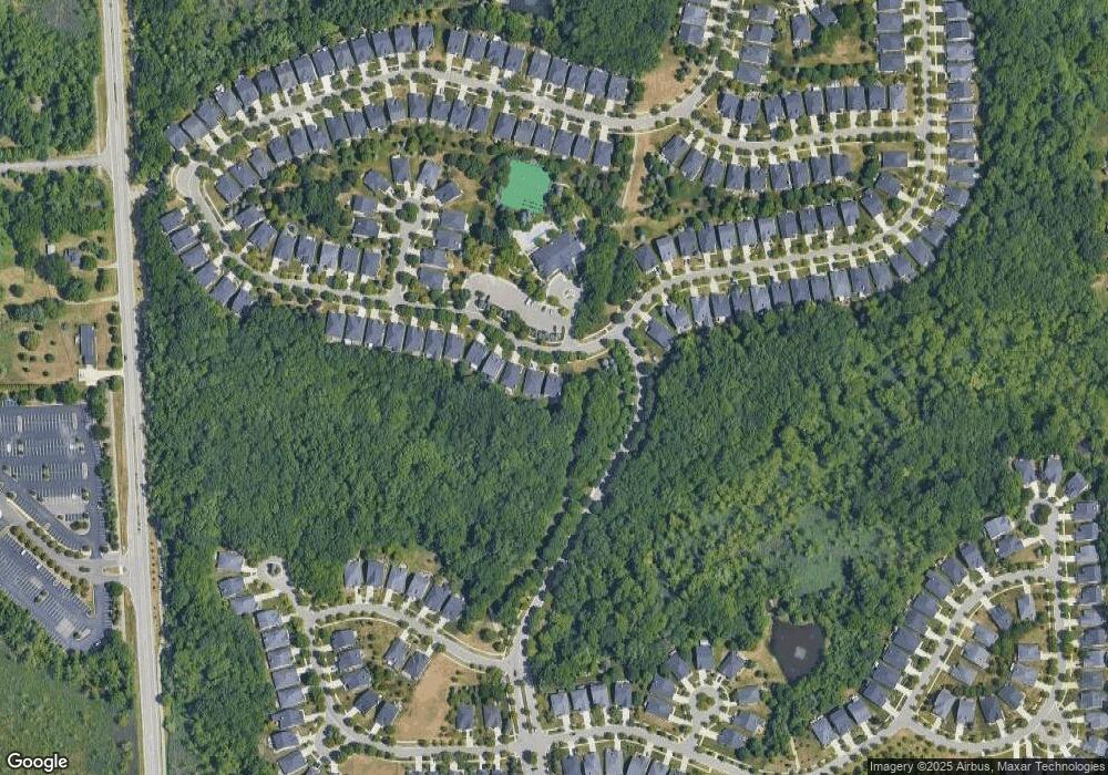
Map
Nearby Homes
- 4035 Hillsdale Dr Unit 275
- 3534 Riverside Dr Unit 141
- 3640 Camden Ct
- 3634 Camden Ct
- 3879 Teakwood Ln
- 3780 Bald Mountain Rd
- 3095 Bridgewater Rd Unit 30
- 3057 Bridgewater Rd
- 3633 Thornwood Dr
- 3674 Merriweather Ln
- 3111 Ramzi Ln
- 423 Silvervale Dr
- 3639 Heatherwood Ct
- 1906 Independence Ct
- 3101 Elstead St
- 2638 Patrick Henry Rd
- 3273 Salem Dr
- 2530 Patrick Henry St
- 5700 Rolling Hills Dr
- 3164 Bookham Cir
- 3854 Hillsdale Dr Unit 64
- 3852 Hillsdale Dr
- 3850 Hillsdale Dr Unit Bldg-Unit
- 3850 Hillsdale Dr
- 3848 Hillsdale Dr Unit 67
- 3846 Hillsdale Dr
- 3862 Hillsdale Dr
- 3844 Hillsdale Dr
- 3864 Hillsdale Dr Unit 89
- 3842 Hillsdale Dr
- 3863 Hillsdale Dr
- 3866 Hillsdale Dr Unit 90
- 3840 Hillsdale Dr Unit 71
- 3837 Springwood Ct Unit 76
- 3835 Springwood Ct Unit 77
- 3835 Springwood Ct Unit 771
- 3868 Hillsdale Dr
- 3865 Hillsdale Dr
- 3820 Hillsdale Dr
- 3833 Springwood Ct Unit 78