Estimated Value: $505,165 - $587,000
4
Beds
3
Baths
3,360
Sq Ft
$162/Sq Ft
Est. Value
About This Home
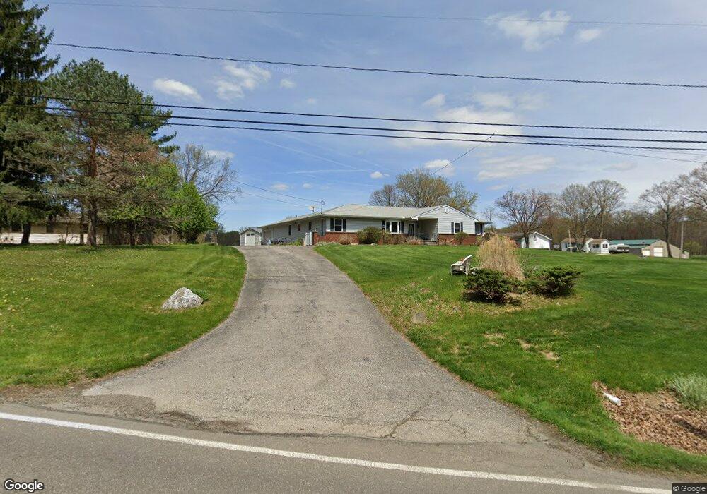
This home is located at 3856 Ranfield Rd, Kent, OH 44240 and is currently estimated at $545,291, approximately $162 per square foot. 3856 Ranfield Rd is a home located in Portage County with nearby schools including Brimfield Elementary School, Field Middle School, and Field High School.
Ownership History
Date
Name
Owned For
Owner Type
Purchase Details
Closed on
Jan 23, 2024
Sold by
Brink Michael E and Brink Joanne J
Bought by
Brink Preservation Trust and Fox
Current Estimated Value
Purchase Details
Closed on
Jul 15, 1999
Sold by
Vourliotakis John G and Vourliotakis Georgia A
Bought by
Brink Michael E and Brink Joanne J
Home Financials for this Owner
Home Financials are based on the most recent Mortgage that was taken out on this home.
Original Mortgage
$125,000
Interest Rate
7.43%
Purchase Details
Closed on
Jul 10, 1991
Bought by
Vourliotakis John G
Create a Home Valuation Report for This Property
The Home Valuation Report is an in-depth analysis detailing your home's value as well as a comparison with similar homes in the area
Home Values in the Area
Average Home Value in this Area
Purchase History
| Date | Buyer | Sale Price | Title Company |
|---|---|---|---|
| Brink Preservation Trust | -- | None Listed On Document | |
| Brink Michael E | $185,000 | Approved Statewide Title Age | |
| Vourliotakis John G | $20,000 | -- |
Source: Public Records
Mortgage History
| Date | Status | Borrower | Loan Amount |
|---|---|---|---|
| Previous Owner | Brink Michael E | $125,000 |
Source: Public Records
Tax History
| Year | Tax Paid | Tax Assessment Tax Assessment Total Assessment is a certain percentage of the fair market value that is determined by local assessors to be the total taxable value of land and additions on the property. | Land | Improvement |
|---|---|---|---|---|
| 2024 | $7,779 | $164,920 | $25,480 | $139,440 |
| 2023 | $7,421 | $126,710 | $15,930 | $110,780 |
| 2022 | $7,215 | $122,860 | $15,930 | $106,930 |
| 2021 | $7,055 | $122,860 | $15,930 | $106,930 |
| 2020 | $6,118 | $95,730 | $15,930 | $79,800 |
| 2019 | $6,026 | $95,730 | $15,930 | $79,800 |
| 2018 | $4,423 | $82,920 | $15,930 | $66,990 |
| 2017 | $4,423 | $82,920 | $15,930 | $66,990 |
| 2016 | $4,415 | $82,920 | $15,930 | $66,990 |
| 2015 | $4,272 | $82,920 | $15,930 | $66,990 |
| 2014 | $4,122 | $82,920 | $15,930 | $66,990 |
| 2013 | $4,026 | $82,920 | $15,930 | $66,990 |
Source: Public Records
Map
Nearby Homes
- 3793 Ranfield Rd
- 3910 Willow Way
- 1386 Brookdale Ln
- 4088 Lynwood Dr
- 3517 Jameson Dr
- 3483 Lawndale Dr
- 3532 Gary Dr
- 4360 Beal Dr
- 3880 Selnik Rd
- 3929 Lor Ron St
- 4545 State Route 43
- 4808 Sherman Rd
- 1676 Countryview Dr
- 2092 Sugar Maple Dr
- 2341 Sweetberry Cir
- 788 Cambridge Ct
- 1556 Saxe Rd
- 4595 Creekside Dr
- 5088 Spruce Knoll Run
- 1997 Sugar Maple Dr
- 3858 Ranfield Rd
- 3834 Ranfield Rd
- 3838 Ranfield Rd
- 3851 Ranfield Rd
- 3870 Ranfield Rd
- V/L 3 Oakwood Estates Dr
- V/L 10 Oakwood Estates Dr
- 3887 Oakwood Estates Dr
- 3841 Ranfield Rd
- V/L 2 Oakwood Estates Dr
- 3884 Ranfield Rd
- 3885 Ranfield Rd
- 3840 Olmsby Dr
- 3864 Olmsby Dr
- V/L 11 Oakwood Estates Dr
- 3848 Olmsby Dr
- V/L 4 Oakwood Estates Dr
- 3834 Olmsby Dr
- V/L 7 Oakwood Estates Dr
- V/L 6 Oakwood Estates Dr
Your Personal Tour Guide
Ask me questions while you tour the home.