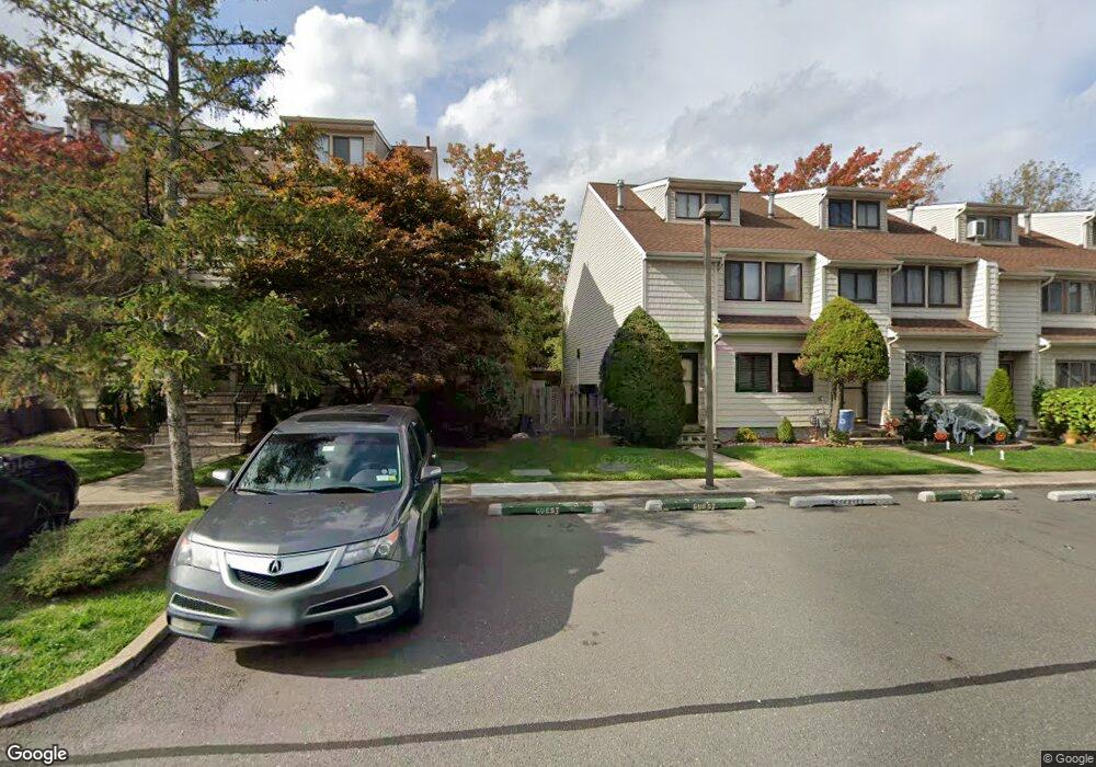
385C Signs Rd Staten Island, NY 10314
Bulls Head NeighborhoodEstimated Value: $548,000 - $618,000
--
Bed
--
Bath
1,476
Sq Ft
$385/Sq Ft
Est. Value
About This Home
This home is located at 385C Signs Rd, Staten Island, NY 10314 and is currently estimated at $568,646, approximately $385 per square foot. 385C Signs Rd is a home located in Richmond County with nearby schools including P.S. 060 Alice Austen School, Is 72 Rocco Laurie, and Port Richmond High School.
Ownership History
Date
Name
Owned For
Owner Type
Purchase Details
Closed on
Sep 15, 2019
Sold by
Sawh Jennifer and Effinger Adrienne
Bought by
Sawh Jennifer L and Sawh Matthew A
Current Estimated Value
Purchase Details
Closed on
Nov 18, 2015
Sold by
Effinger Adrienne
Bought by
Sawh Jennifer and Effinger Adrienne
Purchase Details
Closed on
Aug 28, 2014
Sold by
Sawh Dennis and Effinger Adrienne
Bought by
Effinger Adrienne
Create a Home Valuation Report for This Property
The Home Valuation Report is an in-depth analysis detailing your home's value as well as a comparison with similar homes in the area
Home Values in the Area
Average Home Value in this Area
Purchase History
| Date | Buyer | Sale Price | Title Company |
|---|---|---|---|
| Sawh Jennifer L | -- | Globalserve Title Agcy Corp | |
| Sawh Jennifer | -- | Titlevest | |
| Effinger Adrienne | -- | None Available |
Source: Public Records
Tax History Compared to Growth
Tax History
| Year | Tax Paid | Tax Assessment Tax Assessment Total Assessment is a certain percentage of the fair market value that is determined by local assessors to be the total taxable value of land and additions on the property. | Land | Improvement |
|---|---|---|---|---|
| 2025 | $4,151 | $32,192 | $1,949 | $30,243 |
| 2024 | $3,901 | $26,319 | $2,365 | $23,954 |
| 2023 | $3,944 | $20,820 | $2,395 | $18,425 |
| 2022 | $3,634 | $21,835 | $2,821 | $19,014 |
| 2021 | $3,597 | $20,768 | $2,821 | $17,947 |
| 2020 | $6,298 | $23,358 | $2,821 | $20,537 |
| 2019 | $6,867 | $23,017 | $2,821 | $20,196 |
| 2018 | $3,239 | $17,350 | $2,153 | $15,197 |
| 2017 | $3,037 | $16,369 | $2,204 | $14,165 |
| 2016 | $2,778 | $15,444 | $2,192 | $13,252 |
| 2015 | $2,636 | $15,444 | $2,604 | $12,840 |
| 2014 | $2,636 | $15,326 | $2,596 | $12,730 |
Source: Public Records
Map
Nearby Homes
- 80 Dinsmore St Unit A
- 180 Dinsmore St Unit E
- 149 Forest St
- 108 Forest St
- 3 Nostrand Ave
- 57 Speedwell Ave
- 4 Gary Place
- 96 Amsterdam Ave
- 20 Toddy Ave
- 87 Amsterdam Ave
- 72 Toddy Ave
- 35 Sideview Ave
- 18 Signs Rd
- 6 Mulberry Ave
- 96 Paulding Ave
- 31 Plank Rd
- 94 Gary Place
- 45 Sommer Ave
- 8 Rockville Ave
- 15 Berglund Ave
- 385 Signs Rd Unit E
- 385 Signs Rd Unit E
- 385 Signs Rd
- 385 Signs Rd Unit F
- 385 Signs Rd Unit A
- 385 Signs Rd Unit B
- 385B Signs Rd
- 385A Signs Rd Unit 69
- 385D Signs Rd
- 385F Signs Rd
- 385E Signs Rd
- 379B Signs Rd Unit 64
- 379A Signs Rd
- 379 Signs Rd Unit E
- 379 Signs Rd Unit A
- 379 Signs Rd Unit F
- 379 Signs Rd Unit C
- 379 Signs Rd Unit D
- 379 Signs Rd Unit B
- 355 Signs Rd Unit C