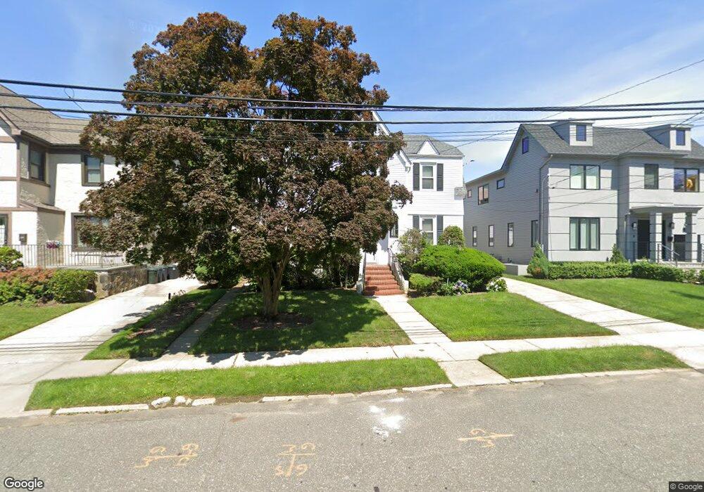
386 Barnard Ave Cedarhurst, NY 11516
Estimated Value: $1,065,000 - $1,095,007
Studio
3
Baths
1,899
Sq Ft
$569/Sq Ft
Est. Value
About This Home
This home is located at 386 Barnard Ave, Cedarhurst, NY 11516 and is currently estimated at $1,080,004, approximately $568 per square foot. 386 Barnard Ave is a home located in Nassau County with nearby schools including Lawrence Primary School, Lawrence Elementary School, and Lawrence Middle School.
Ownership History
Date
Name
Owned For
Owner Type
Purchase Details
Closed on
Apr 30, 1998
Current Estimated Value
Purchase Details
Closed on
Feb 6, 1996
Sold by
Rosenblatt Jeffrey and Rosenblatt Gila
Bought by
Grosser Curtis
Home Financials for this Owner
Home Financials are based on the most recent Mortgage that was taken out on this home.
Original Mortgage
$185,000
Outstanding Balance
$6,107
Interest Rate
7.1%
Estimated Equity
$1,073,897
Create a Home Valuation Report for This Property
The Home Valuation Report is an in-depth analysis detailing your home's value as well as a comparison with similar homes in the area
Home Values in the Area
Average Home Value in this Area
Purchase History
| Date | Buyer | Sale Price | Title Company |
|---|---|---|---|
| -- | -- | -- | |
| Grosser Curtis | $250,000 | -- | |
| Grosser Curtis | $250,000 | -- |
Source: Public Records
Mortgage History
| Date | Status | Borrower | Loan Amount |
|---|---|---|---|
| Open | Grosser Curtis | $185,000 | |
| Closed | Grosser Curtis | $185,000 |
Source: Public Records
Tax History
| Year | Tax Paid | Tax Assessment Tax Assessment Total Assessment is a certain percentage of the fair market value that is determined by local assessors to be the total taxable value of land and additions on the property. | Land | Improvement |
|---|---|---|---|---|
| 2025 | $9,648 | $718 | $270 | $448 |
| 2024 | $3,460 | $718 | $270 | $448 |
Source: Public Records
Map
Nearby Homes
- 422 Cedarhurst Ave
- 508 Monroe St
- 279 Cedarhurst Ave Unit G-6
- 409 Barnard Ave
- 487 5th Ave
- 219 Pearsall Place
- 467 W Broadway
- 770 W Broadway
- 461 5th Ave
- 761 W Broadway
- 523 Bayview Ave
- 7 Park Cir
- 136 Linden St
- 449 Argyle Rd
- 544 Arlington Rd
- 463 Summit Ave Unit 2F
- 536 Albemarle Rd
- 548 Albemarle Rd
- 347 Roselle Ave
- 559 Arlington Place
- 382 Barnard Ave
- 396 Barnard Ave
- 400 Barnard Ave
- 376 Barnard Ave
- 385 Church Ave
- 395 Church Ave
- 383 Church Ave
- 389 Barnard Ave
- 385 Barnard Ave
- 401 Church Ave
- 402 Barnard Ave
- 370 Barnard Ave
- 403 Barnard Ave
- 379 Barnard Ave
- 377 Church Ave
- 407 Church Ave
- 404 Barnard Ave
- 404 Barnard Ave
- 363 Barnard Ave
- 409 Barnard Ave
Your Personal Tour Guide
Ask me questions while you tour the home.