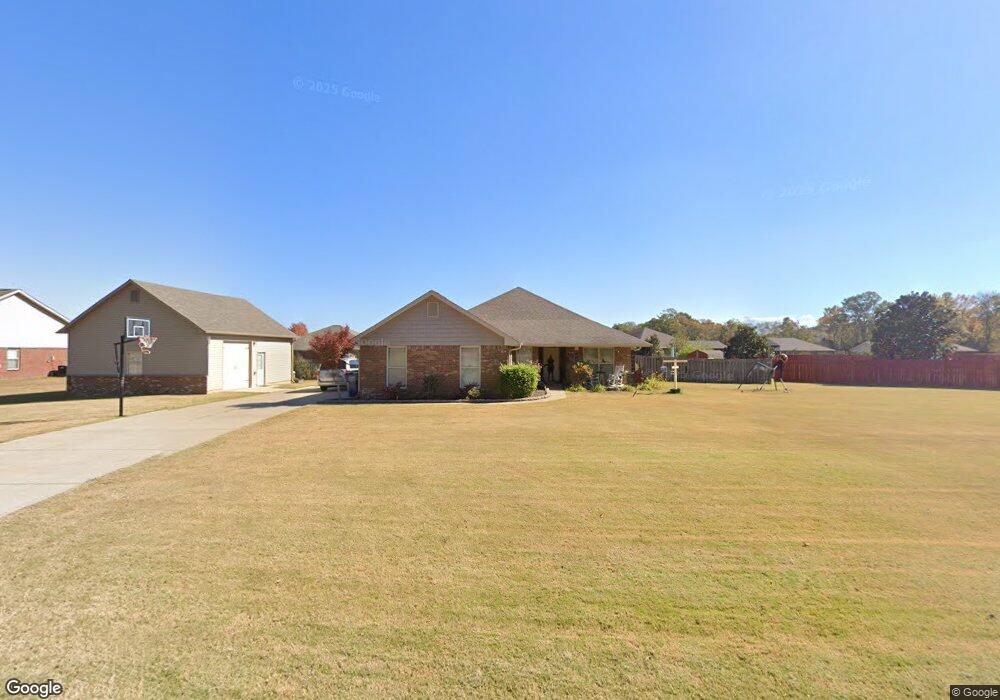
386 Bell Cir Huntsville, AL 35811
Ryland NeighborhoodEstimated Value: $334,000 - $406,407
4
Beds
2
Baths
2,253
Sq Ft
$162/Sq Ft
Est. Value
About This Home
This home is located at 386 Bell Cir, Huntsville, AL 35811 and is currently estimated at $365,352, approximately $162 per square foot. 386 Bell Cir is a home located in Madison County with nearby schools including Mt Carmel Elementary School, Riverton Intermediate School, and Buckhorn Middle School.
Ownership History
Date
Name
Owned For
Owner Type
Purchase Details
Closed on
Oct 21, 2010
Sold by
Breland Homes Llc
Bought by
Mcgee Michael S and Mcgee Rachel
Current Estimated Value
Home Financials for this Owner
Home Financials are based on the most recent Mortgage that was taken out on this home.
Original Mortgage
$169,735
Outstanding Balance
$112,235
Interest Rate
4.39%
Mortgage Type
New Conventional
Estimated Equity
$253,117
Create a Home Valuation Report for This Property
The Home Valuation Report is an in-depth analysis detailing your home's value as well as a comparison with similar homes in the area
Home Values in the Area
Average Home Value in this Area
Purchase History
| Date | Buyer | Sale Price | Title Company |
|---|---|---|---|
| Mcgee Michael S | -- | -- |
Source: Public Records
Mortgage History
| Date | Status | Borrower | Loan Amount |
|---|---|---|---|
| Open | Mcgee Michael S | $169,735 |
Source: Public Records
Tax History Compared to Growth
Tax History
| Year | Tax Paid | Tax Assessment Tax Assessment Total Assessment is a certain percentage of the fair market value that is determined by local assessors to be the total taxable value of land and additions on the property. | Land | Improvement |
|---|---|---|---|---|
| 2024 | $1,198 | $33,540 | $5,000 | $28,540 |
| 2023 | $1,161 | $33,540 | $5,000 | $28,540 |
| 2022 | $1,069 | $31,000 | $5,000 | $26,000 |
| 2021 | $891 | $25,960 | $3,000 | $22,960 |
| 2020 | $820 | $23,640 | $3,000 | $20,640 |
| 2019 | $655 | $19,490 | $3,000 | $16,490 |
| 2018 | $626 | $18,700 | $0 | $0 |
| 2017 | $559 | $16,880 | $0 | $0 |
| 2016 | $559 | $16,880 | $0 | $0 |
| 2015 | $559 | $16,880 | $0 | $0 |
| 2014 | $576 | $17,340 | $0 | $0 |
Source: Public Records
Map
Nearby Homes
- 204 Paca Ln
- 228 Exeter St
- 232 Exeter St
- 300 Pond Spring Dr
- 301 Pond Spring Dr
- 303 Pond Spring Dr
- 230 Exeter St
- 108 Brookes Landing Dr
- 2387 Highway 72 E
- 107 Genesis Dr
- 86+ Acres Jordan Rd
- 206 Antler Ridge Dr
- 232 Antler Ridge Dr
- 107 Eden Ln
- 117 Genesis Dr
- 109 Oldwood Rd
- 510 Old Gurley Rd NE
- .73 Acres Highway 72 E
- 118 Sydney St
- 106 Shields Lake Dr
- 398 Bell Cir
- 122 Denton Dr
- 138 Brookslanding Dr
- 124 Denton Dr
- 140 Brookslanding Dr
- 138 Brookslanding Dr
- 406 Bell Cir
- 3070 Brookslanding Dr
- 2910 Brookslanding Dr
- 3342 Brookslanding Dr
- 2267 Brookslanding Dr
- 1933 Brookslanding Dr
- 2194 Brookslanding Dr
- 3616 Brookslanding Dr
- 2001 Brookslanding Dr
- 1858 Brookslanding Dr
- 2253 Brookslanding Dr
- 1812 Brookslanding Dr
- 2789 Brookslanding Dr
- 2500 Brookslanding Dr