386 County Road 312 Cove Jonesboro, AR 72401
Estimated Value: $299,000 - $902,496
--
Bed
1
Bath
2,373
Sq Ft
$253/Sq Ft
Est. Value
About This Home
This home is located at 386 County Road 312 Cove, Jonesboro, AR 72401 and is currently estimated at $600,748, approximately $253 per square foot. 386 County Road 312 Cove is a home with nearby schools including Westside Elementary School, Westside Middle School, and Westside High School.
Ownership History
Date
Name
Owned For
Owner Type
Purchase Details
Closed on
Nov 18, 2005
Sold by
Price Berl W and Price Gerleen
Bought by
Darr Kevin and Darr Staci
Current Estimated Value
Home Financials for this Owner
Home Financials are based on the most recent Mortgage that was taken out on this home.
Original Mortgage
$131,011
Interest Rate
5.92%
Mortgage Type
Construction
Create a Home Valuation Report for This Property
The Home Valuation Report is an in-depth analysis detailing your home's value as well as a comparison with similar homes in the area
Home Values in the Area
Average Home Value in this Area
Purchase History
| Date | Buyer | Sale Price | Title Company |
|---|---|---|---|
| Darr Kevin | $130,000 | None Available |
Source: Public Records
Mortgage History
| Date | Status | Borrower | Loan Amount |
|---|---|---|---|
| Closed | Darr Kevin | $131,011 |
Source: Public Records
Tax History Compared to Growth
Tax History
| Year | Tax Paid | Tax Assessment Tax Assessment Total Assessment is a certain percentage of the fair market value that is determined by local assessors to be the total taxable value of land and additions on the property. | Land | Improvement |
|---|---|---|---|---|
| 2025 | $5,241 | $107,381 | $9,853 | $97,528 |
| 2024 | $5,241 | $107,381 | $9,853 | $97,528 |
| 2023 | $3,637 | $107,381 | $9,853 | $97,528 |
| 2022 | $3,510 | $107,381 | $9,853 | $97,528 |
| 2021 | $3,316 | $12,530 | $5,850 | $6,680 |
| 2020 | $569 | $12,530 | $5,850 | $6,680 |
| 2019 | $534 | $12,530 | $5,850 | $6,680 |
| 2018 | $499 | $12,530 | $5,850 | $6,680 |
| 2017 | $389 | $12,530 | $5,850 | $6,680 |
| 2016 | $353 | $8,000 | $4,850 | $3,150 |
| 2015 | $52 | $1,200 | $1,200 | $0 |
| 2014 | $52 | $1,200 | $1,200 | $0 |
Source: Public Records
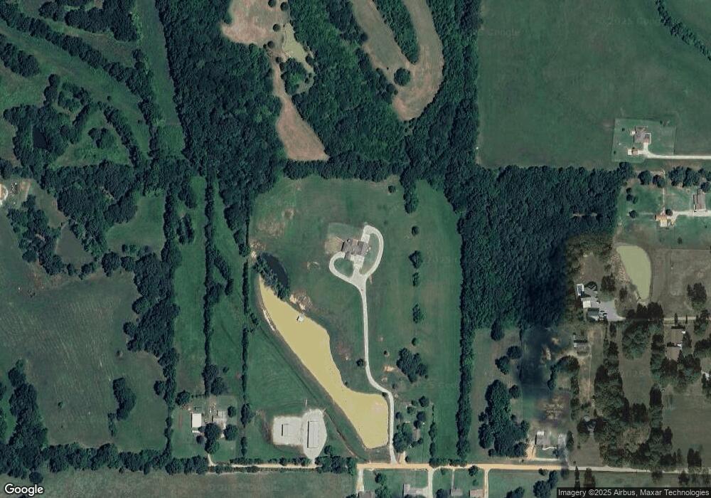
Map
Nearby Homes
- 727 Cr 311
- 279 County Road 342
- 1 County Road 342
- 14 County Road 346
- 1 County Road 348
- 219 Maurita St
- 20 Acres Parker Rd and I-555
- 393 County Road 371
- 23 Winchester Dr
- 581 County Road 130
- 97 County Road 130
- 2086 County Road 318
- 919 Congress Cir
- 2208 Duncan Rd
- 913 Congress Cir
- 1577 County Road 318
- 945 County Road 111
- 2713 W Matthews Ave
- 67.78 acres Cr 114
- 2617 W Matthews Ave
- 456 County Road 312
- 286 County Road 312
- 291 County Road 312
- 321 County Road 312
- 321 Cr 312
- 231 Cr 312
- 263 County Road 312
- 0 County Road 312
- 243 County Road 312
- 229 County Road 312
- 178 County Road 312
- 233 County Road 312 Unit 233B
- 122 County Road 312
- 237 County Road 312
- 112 County Road 312
- 727 County Road 311
- 590 County Road 333
- 620 County Road 333
- 949 County Road 311
- 893 County Road 311