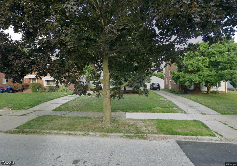
386 E 215th St Euclid, OH 44123
Estimated Value: $132,000 - $161,000
3
Beds
2
Baths
1,237
Sq Ft
$120/Sq Ft
Est. Value
About This Home
This home is located at 386 E 215th St, Euclid, OH 44123 and is currently estimated at $148,804, approximately $120 per square foot. 386 E 215th St is a home located in Cuyahoga County with nearby schools including Arbor Elementary School, Euclid Middle School, and Euclid High School.
Ownership History
Date
Name
Owned For
Owner Type
Purchase Details
Closed on
Nov 17, 2006
Sold by
Berardinelli Fernando
Bought by
Fort Demond D and Tufts Maureen L
Current Estimated Value
Home Financials for this Owner
Home Financials are based on the most recent Mortgage that was taken out on this home.
Original Mortgage
$113,000
Outstanding Balance
$65,838
Interest Rate
6.41%
Mortgage Type
Purchase Money Mortgage
Estimated Equity
$82,966
Purchase Details
Closed on
Apr 9, 2001
Sold by
Wachhaus David C and Wachhaus Janet M
Bought by
Berardinelli Fernando
Home Financials for this Owner
Home Financials are based on the most recent Mortgage that was taken out on this home.
Original Mortgage
$88,609
Interest Rate
7.18%
Mortgage Type
FHA
Purchase Details
Closed on
Jan 1, 1975
Bought by
Wachhaus David C and Wachhaus Janet M
Create a Home Valuation Report for This Property
The Home Valuation Report is an in-depth analysis detailing your home's value as well as a comparison with similar homes in the area
Home Values in the Area
Average Home Value in this Area
Purchase History
| Date | Buyer | Sale Price | Title Company |
|---|---|---|---|
| Fort Demond D | $113,000 | Guardian Title & Guaranty | |
| Berardinelli Fernando | $90,000 | Insured Title | |
| Wachhaus David C | -- | -- |
Source: Public Records
Mortgage History
| Date | Status | Borrower | Loan Amount |
|---|---|---|---|
| Open | Fort Demond D | $113,000 | |
| Previous Owner | Berardinelli Fernando | $88,609 |
Source: Public Records
Tax History
| Year | Tax Paid | Tax Assessment Tax Assessment Total Assessment is a certain percentage of the fair market value that is determined by local assessors to be the total taxable value of land and additions on the property. | Land | Improvement |
|---|---|---|---|---|
| 2025 | $3,305 | $49,700 | $9,380 | $40,320 |
| 2024 | $3,409 | $49,700 | $9,380 | $40,320 |
| 2023 | $2,892 | $33,430 | $6,760 | $26,670 |
| 2022 | $2,826 | $33,430 | $6,760 | $26,670 |
| 2021 | $3,151 | $33,430 | $6,760 | $26,670 |
| 2020 | $3,199 | $30,980 | $6,270 | $24,710 |
| 2019 | $2,877 | $88,500 | $17,900 | $70,600 |
| 2018 | $2,906 | $30,980 | $6,270 | $24,710 |
| 2017 | $3,114 | $27,760 | $5,250 | $22,510 |
| 2016 | $3,121 | $27,760 | $5,250 | $22,510 |
| 2015 | $2,840 | $27,760 | $5,250 | $22,510 |
| 2014 | $2,840 | $27,760 | $5,250 | $22,510 |
Source: Public Records
Map
Nearby Homes
- 324 E 215th St
- 21051 S Lake Shore Blvd
- 273 E 208th St
- 21670 Crystal Ave
- 21971 Crystal Ave
- 285 E 216th St
- 21000 Crystal Ave
- 422 Clearview Dr Unit J10
- 20931 Priday Ave
- 421 Kenwood Dr Unit G
- 20900 Priday Ave
- 226 E 216th St
- 21481 Ball Ave
- 336 E 222nd St
- 20700 Crystal Ave
- 442 Clearview Dr Unit U9
- 21181 Ball Ave
- 450 Kenwood Dr Unit D-12
- 144 E 208th St
- 461 Kenwood Dr Unit T3
Your Personal Tour Guide
Ask me questions while you tour the home.