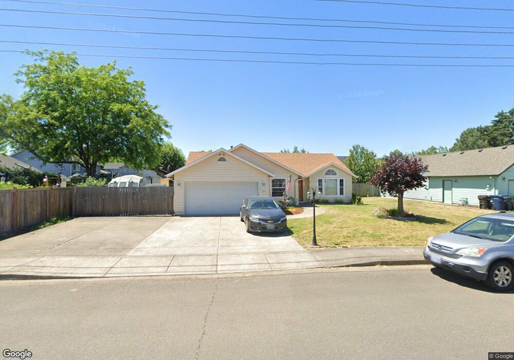
386 Edwards Rd Monmouth, OR 97361
Estimated Value: $401,000 - $437,000
3
Beds
2
Baths
1,416
Sq Ft
$298/Sq Ft
Est. Value
About This Home
This home is located at 386 Edwards Rd, Monmouth, OR 97361 and is currently estimated at $421,475, approximately $297 per square foot. 386 Edwards Rd is a home located in Polk County with nearby schools including Ash Creek Elementary School, Talmadge Middle School, and Central High School.
Ownership History
Date
Name
Owned For
Owner Type
Purchase Details
Closed on
Oct 24, 2005
Sold by
Deutsche Bank National Trust Co
Bought by
Brandis Nicholas R
Current Estimated Value
Home Financials for this Owner
Home Financials are based on the most recent Mortgage that was taken out on this home.
Original Mortgage
$133,240
Outstanding Balance
$73,015
Interest Rate
6.14%
Mortgage Type
Fannie Mae Freddie Mac
Estimated Equity
$348,460
Purchase Details
Closed on
Aug 25, 2005
Sold by
Arruda Jonathan K
Bought by
Deutsche Bank National Trust Co and Impac Secured Assets Corp Mortgage Pass
Home Financials for this Owner
Home Financials are based on the most recent Mortgage that was taken out on this home.
Original Mortgage
$133,240
Outstanding Balance
$73,015
Interest Rate
6.14%
Mortgage Type
Fannie Mae Freddie Mac
Estimated Equity
$348,460
Create a Home Valuation Report for This Property
The Home Valuation Report is an in-depth analysis detailing your home's value as well as a comparison with similar homes in the area
Home Values in the Area
Average Home Value in this Area
Purchase History
| Date | Buyer | Sale Price | Title Company |
|---|---|---|---|
| Brandis Nicholas R | $166,551 | First American Title | |
| Deutsche Bank National Trust Co | $150,357 | First American Title |
Source: Public Records
Mortgage History
| Date | Status | Borrower | Loan Amount |
|---|---|---|---|
| Open | Brandis Nicholas R | $133,240 |
Source: Public Records
Tax History Compared to Growth
Tax History
| Year | Tax Paid | Tax Assessment Tax Assessment Total Assessment is a certain percentage of the fair market value that is determined by local assessors to be the total taxable value of land and additions on the property. | Land | Improvement |
|---|---|---|---|---|
| 2025 | $3,741 | $226,920 | $57,110 | $169,810 |
| 2024 | $3,741 | $220,320 | $55,450 | $164,870 |
| 2023 | $3,897 | $213,910 | $53,840 | $160,070 |
| 2022 | $3,507 | $207,680 | $52,270 | $155,410 |
| 2021 | $3,467 | $201,640 | $50,750 | $150,890 |
| 2020 | $3,330 | $195,770 | $49,280 | $146,490 |
| 2019 | $3,233 | $190,070 | $47,840 | $142,230 |
| 2018 | $3,122 | $184,540 | $46,450 | $138,090 |
| 2017 | $3,105 | $179,170 | $45,090 | $134,080 |
| 2016 | $3,172 | $173,960 | $43,780 | $130,180 |
| 2015 | $3,006 | $168,900 | $42,500 | $126,400 |
| 2014 | $2,915 | $163,990 | $41,260 | $122,730 |
Source: Public Records
Map
Nearby Homes
- 355 Jacobson Ct S
- 1370 Bentley St E
- 235 Edwards (#104) Rd S Unit 104
- 277 Edwards Rd S
- 277 Edwards Rd S Unit 133
- 309 Atwater St S
- 235 Edwards Rd S Unit 104
- 151 Edwards (#46) Rd S Unit 46
- 151 S Edwards (151) Rd
- 1176 Gwinn St E
- 709 Sunnycroft Ln
- 101 Edwards Rd S Unit 10-B Rd S
- 1329 Price Ln E
- 782 Edwards Rd S
- 1470 Ash Creek Dr E
- 761 Devonshire Ln
- 1466 Ash Creek Dr E
- 750 Beaton Ln
- 858 Main St E
- 191 Catron St S
- 358 Edwards Rd
- 1492 Bentley St E
- 1454 Bentley St E
- 375 Jacobson Ct S
- 367 Jacobson Ct S
- 336 Edwards Rd S
- 379 Edwards Rd S
- 336 Edwards Rd
- 1410 Bentley St E
- 351 Edwards Rd
- 1514 Bentley St E
- 339 Edwards Rd
- 324 Edwards Rd
- 372 Jacobson Ct S
- 414 Edwards Rd
- 414 Edwards Rd S
- 339 Jacobson Ct S
- 407 Rice Ln S
- 1522 Bentley St E
- 327 Edwards Rd