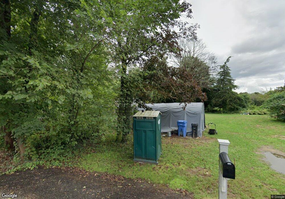
386 Hancock St Wrentham, MA 02093
West Wrentham NeighborhoodEstimated Value: $1,310,000 - $3,624,000
3
Beds
6
Baths
3,799
Sq Ft
$540/Sq Ft
Est. Value
About This Home
This home is located at 386 Hancock St, Wrentham, MA 02093 and is currently estimated at $2,050,325, approximately $539 per square foot. 386 Hancock St is a home located in Norfolk County with nearby schools including Delaney Elementary School and Charles E Roderick.
Ownership History
Date
Name
Owned For
Owner Type
Purchase Details
Closed on
Nov 3, 1992
Sold by
F M C Trust
Bought by
Lorusso James B
Current Estimated Value
Home Financials for this Owner
Home Financials are based on the most recent Mortgage that was taken out on this home.
Original Mortgage
$200,000
Interest Rate
7.85%
Mortgage Type
Purchase Money Mortgage
Create a Home Valuation Report for This Property
The Home Valuation Report is an in-depth analysis detailing your home's value as well as a comparison with similar homes in the area
Home Values in the Area
Average Home Value in this Area
Purchase History
| Date | Buyer | Sale Price | Title Company |
|---|---|---|---|
| Lorusso James B | $725,000 | -- |
Source: Public Records
Mortgage History
| Date | Status | Borrower | Loan Amount |
|---|---|---|---|
| Closed | Lorusso James B | $200,000 | |
| Previous Owner | Lorusso James B | $7,955 |
Source: Public Records
Tax History Compared to Growth
Tax History
| Year | Tax Paid | Tax Assessment Tax Assessment Total Assessment is a certain percentage of the fair market value that is determined by local assessors to be the total taxable value of land and additions on the property. | Land | Improvement |
|---|---|---|---|---|
| 2025 | -- | $1,476,300 | $367,000 | $1,109,300 |
| 2024 | -- | $1,337,300 | $367,000 | $970,300 |
| 2023 | $8,491 | $1,261,100 | $337,000 | $924,100 |
| 2022 | $0 | $1,107,900 | $317,100 | $790,800 |
| 2021 | $0 | $1,040,100 | $281,300 | $758,800 |
| 2020 | $15,226 | $1,048,500 | $254,300 | $794,200 |
| 2019 | $0 | $1,015,100 | $254,300 | $760,800 |
| 2018 | $0 | $1,006,950 | $245,650 | $761,300 |
| 2017 | $0 | $999,550 | $0 | $0 |
| 2016 | -- | $972,810 | $0 | $0 |
| 2015 | $13,862 | $925,380 | $0 | $0 |
| 2014 | $14,005 | $914,750 | $0 | $0 |
Source: Public Records
Map
Nearby Homes
- 11 Amber Dr
- 19 Chestnut Lot 0
- 50 Green St
- 80 Carriage House Ln
- 4 Evans St
- 1222 South St
- 1204 South St
- 4 Munroe Dr
- 12 Grant St
- 440 Chestnut St
- 955 Summer St
- 39 Sumner Brown Rd
- 50 Heather Ln
- 387 South St
- 102 High St
- 5 Farm Hill Ln
- 236 Williams St
- 10 Cliff Dr
- 791 South St Unit 5
- 44 Maple Terrace Unit 44
- 414 Hancock St
- 396 Hancock St
- 432 Hancock St
- 255 Hancock St
- 399 Hancock St
- 434 Hancock St
- 376 Hancock St
- 411 Hancock St
- 395 Hancock St
- 464 Hancock St
- 366 Hancock St
- 454 Hancock St
- 453 Hancock St
- 494 Hancock St
- 326 Hancock St
- 461 Hancock St
- 316 Hancock St
- 316 Hancock St Unit 1
- 316 Hancock St Unit 316
- 508 Hancock St
