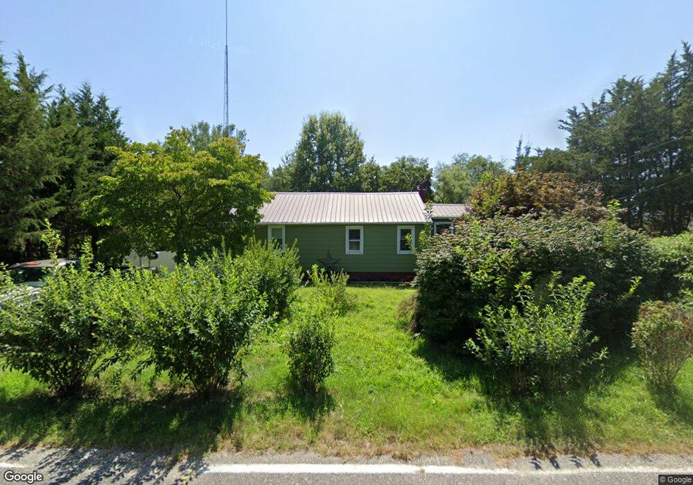
386 Methodist Rd Newport, NJ 08345
Estimated Value: $210,000 - $284,000
2
Beds
1
Bath
1,274
Sq Ft
$192/Sq Ft
Est. Value
About This Home
This home is located at 386 Methodist Rd, Newport, NJ 08345 and is currently estimated at $244,486, approximately $191 per square foot. 386 Methodist Rd is a home located in Cumberland County with nearby schools including Downe Township Elementary School.
Ownership History
Date
Name
Owned For
Owner Type
Purchase Details
Closed on
Jul 29, 2016
Sold by
Koening Terry and Estate Of William T Cooper
Bought by
Loew William S and Vasquez Kayla M
Current Estimated Value
Purchase Details
Closed on
Jul 10, 2002
Purchase Details
Closed on
Jan 24, 1997
Sold by
Cooper Patricia A
Bought by
Cooper William T
Create a Home Valuation Report for This Property
The Home Valuation Report is an in-depth analysis detailing your home's value as well as a comparison with similar homes in the area
Home Values in the Area
Average Home Value in this Area
Purchase History
| Date | Buyer | Sale Price | Title Company |
|---|---|---|---|
| Loew William S | $25,000 | Landis Title | |
| -- | -- | -- | |
| Cooper William T | $35,000 | Dominion Title Services Inc | |
| Cooper William T | -- | Dominion Title Services Inc |
Source: Public Records
Tax History
| Year | Tax Paid | Tax Assessment Tax Assessment Total Assessment is a certain percentage of the fair market value that is determined by local assessors to be the total taxable value of land and additions on the property. | Land | Improvement |
|---|---|---|---|---|
| 2025 | $3,308 | $114,700 | $46,100 | $68,600 |
| 2024 | $3,308 | $114,700 | $46,100 | $68,600 |
| 2023 | $3,017 | $114,700 | $46,100 | $68,600 |
| 2022 | $2,941 | $114,700 | $46,100 | $68,600 |
| 2021 | $2,800 | $114,700 | $46,100 | $68,600 |
| 2020 | $2,759 | $114,700 | $46,100 | $68,600 |
| 2019 | $2,713 | $114,700 | $46,100 | $68,600 |
| 2018 | $2,748 | $114,700 | $46,100 | $68,600 |
| 2017 | $2,639 | $114,700 | $46,100 | $68,600 |
| 2016 | $2,637 | $114,700 | $46,100 | $68,600 |
| 2015 | $2,473 | $114,700 | $46,100 | $68,600 |
| 2014 | $2,291 | $114,700 | $46,100 | $68,600 |
Source: Public Records
Map
Nearby Homes
- 13 Hall St
- 305 Main St
- 281 Fortescue Rd
- 442 Shaws Mill Rd
- 0 Relm Ave Unit NJCB2022890
- 0 Keln Ave Unit NJCB2022904
- 393 Newport Neck Rd
- 478 Main St
- 390 Jones Island Rd
- 395 Main St
- 321 Jones Island Rd
- 377 Main St
- 73 Maple Ave
- 348 Main St
- 0 Lawn Ave Unit NJCB2022888
- 0 Lawn Ave Unit NJCB2022906
- 0 Forn Unit NJCB2022896
- 329 Main St
- 0 W Forn Unit NJCB2022892
- 0 Nark-Lawn Ave Unit NJCB2022900
- 384 Methodist Rd
- 391 Methodist Rd
- 378 Methodist Rd
- 39 Methodist Rd
- 335 Methodist Rd
- 374 Methodist Rd
- 400 Methodist Rd
- 403 Methodist Rd
- 359 Methodist Rd
- 359-377 Methodist Rd
- 359 377 Methodist Rd
- 379 Methodist Rd
- 354 Methodist Rd
- 352 Methodist Rd
- 419 Methodist Rd
- 345 Methodist Rd
- 1 Back Rd Unit 674
- 341 Methodist Rd
- 339 Methodist Rd
- 366 Baptist Rd
Your Personal Tour Guide
Ask me questions while you tour the home.