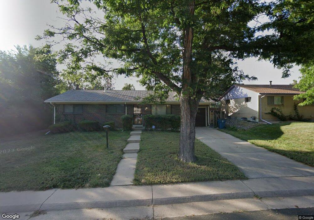
386 S Ursula Way Aurora, CO 80012
Aurora Hills NeighborhoodEstimated Value: $375,000 - $438,000
Studio
2
Baths
1,162
Sq Ft
$348/Sq Ft
Est. Value
About This Home
This home is located at 386 S Ursula Way, Aurora, CO 80012 and is currently estimated at $404,757, approximately $348 per square foot. 386 S Ursula Way is a home located in Arapahoe County with nearby schools including Virginia Court Elementary School, Aurora Hills Middle School, and Gateway High School.
Ownership History
Date
Name
Owned For
Owner Type
Purchase Details
Closed on
Jul 25, 2005
Sold by
Clara B Finn Revocable Living Trust
Bought by
Gordon Bryan G
Current Estimated Value
Home Financials for this Owner
Home Financials are based on the most recent Mortgage that was taken out on this home.
Original Mortgage
$152,000
Outstanding Balance
$77,571
Interest Rate
5.61%
Mortgage Type
Stand Alone First
Estimated Equity
$327,186
Purchase Details
Closed on
Apr 4, 2005
Sold by
Finn Clara B
Bought by
Clara B Finn Revocable Living Trust
Purchase Details
Closed on
Jul 4, 1776
Bought by
Conversion Arapco
Create a Home Valuation Report for This Property
The Home Valuation Report is an in-depth analysis detailing your home's value as well as a comparison with similar homes in the area
Home Values in the Area
Average Home Value in this Area
Purchase History
| Date | Buyer | Sale Price | Title Company |
|---|---|---|---|
| Gordon Bryan G | $190,000 | Land Title Guarantee Company | |
| Clara B Finn Revocable Living Trust | -- | -- | |
| Conversion Arapco | -- | -- |
Source: Public Records
Mortgage History
| Date | Status | Borrower | Loan Amount |
|---|---|---|---|
| Open | Gordon Bryan G | $152,000 |
Source: Public Records
Tax History Compared to Growth
Tax History
| Year | Tax Paid | Tax Assessment Tax Assessment Total Assessment is a certain percentage of the fair market value that is determined by local assessors to be the total taxable value of land and additions on the property. | Land | Improvement |
|---|---|---|---|---|
| 2025 | $2,625 | $25,063 | -- | -- |
| 2024 | $2,546 | $27,390 | -- | -- |
| 2023 | $2,270 | $27,390 | $0 | $0 |
| 2022 | $2,270 | $22,608 | $0 | $0 |
| 2021 | $2,343 | $22,608 | $0 | $0 |
| 2020 | $2,226 | $21,379 | $0 | $0 |
| 2019 | $2,214 | $21,379 | $0 | $0 |
| 2018 | $1,747 | $16,517 | $0 | $0 |
| 2017 | $1,519 | $16,517 | $0 | $0 |
| 2016 | $1,161 | $12,362 | $0 | $0 |
| 2015 | $1,121 | $12,362 | $0 | $0 |
| 2014 | -- | $9,353 | $0 | $0 |
| 2013 | -- | $10,220 | $0 | $0 |
Source: Public Records
Map
Nearby Homes
- 365 S Ursula Way
- 13069 E Alaska Place
- 373 S Troy St
- 12802 E Nevada Cir
- 414 S Worchester Way
- 12466 E Alaska Place
- 12457 E Virginia Place
- 13637 E Nevada Ave
- 12204 E Dakota Ave
- 12969 E Ohio Ave
- 12144 E Ohio Ave
- 12024 E Maple Ave
- 351 S Peoria Cir
- 628 S Oswego Ct
- 932 S Peoria St Unit 932
- 842 S Worchester St
- 12535 E Tennessee Cir Unit F
- 912 S Peoria St
- 11759 E Alaska Ave
- 12404 E Tennessee Cir Unit E
- 390 S Ursula Way
- 407 S Uvalda Cir
- 378 S Ursula Way
- 405 S Uvalda Cir
- 392 S Ursula Way
- 385 S Ursula Way
- 388 S Tucson Way
- 403 S Uvalda Cir
- 379 S Ursula Way
- 396 S Ursula Way
- 375 S Ursula Way
- 397 S Tucson Way
- 382 S Tucson Way
- 378 S Tucson Way
- 413 S Uvalda Cir
- 410 S Uvalda Cir
- 372 S Tucson Way
- 408 S Troy St
- 369 S Ursula Way
- 391 S Tucson Way