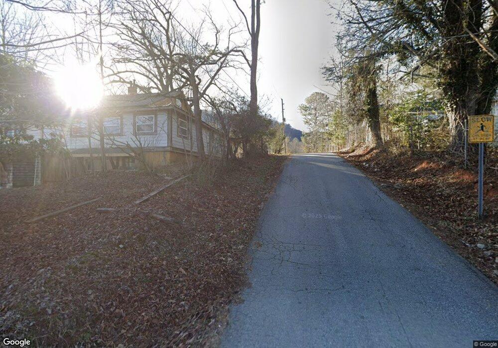
386 Theodore St Clayton, GA 30525
Estimated Value: $247,850 - $331,000
3
Beds
1
Bath
1,584
Sq Ft
$171/Sq Ft
Est. Value
About This Home
This home is located at 386 Theodore St, Clayton, GA 30525 and is currently estimated at $271,213, approximately $171 per square foot. 386 Theodore St is a home with nearby schools including Rabun County Primary School, Rabun County High School, and Rabun Gap Nacoochee School.
Ownership History
Date
Name
Owned For
Owner Type
Purchase Details
Closed on
May 1, 2006
Sold by
Not Provided
Bought by
Fisher Thomas Charles and Gay Kandi
Current Estimated Value
Purchase Details
Closed on
Oct 1, 2004
Bought by
Gay Kandi L
Purchase Details
Closed on
Jun 1, 2001
Purchase Details
Closed on
Nov 1, 1995
Purchase Details
Closed on
Feb 1, 1949
Create a Home Valuation Report for This Property
The Home Valuation Report is an in-depth analysis detailing your home's value as well as a comparison with similar homes in the area
Home Values in the Area
Average Home Value in this Area
Purchase History
| Date | Buyer | Sale Price | Title Company |
|---|---|---|---|
| Fisher Thomas Charles | -- | -- | |
| Fisher Thomas Charles | -- | -- | |
| Gay Kandi L | $56,000 | -- | |
| Gay Kandi L | $56,000 | -- | |
| -- | $53,000 | -- | |
| -- | $53,000 | -- | |
| -- | -- | -- | |
| -- | -- | -- | |
| -- | $600 | -- | |
| -- | $600 | -- |
Source: Public Records
Tax History Compared to Growth
Tax History
| Year | Tax Paid | Tax Assessment Tax Assessment Total Assessment is a certain percentage of the fair market value that is determined by local assessors to be the total taxable value of land and additions on the property. | Land | Improvement |
|---|---|---|---|---|
| 2025 | $1,107 | $73,000 | $11,128 | $61,872 |
| 2024 | $1,079 | $69,234 | $11,128 | $58,106 |
| 2023 | $861 | $49,068 | $9,892 | $39,176 |
| 2022 | $826 | $47,135 | $9,274 | $37,861 |
| 2021 | $746 | $41,784 | $8,655 | $33,129 |
| 2020 | $714 | $38,817 | $8,655 | $30,162 |
| 2019 | $719 | $38,817 | $8,655 | $30,162 |
| 2018 | $722 | $38,817 | $8,655 | $30,162 |
| 2017 | $692 | $38,817 | $8,655 | $30,162 |
| 2016 | $694 | $38,817 | $8,655 | $30,162 |
| 2015 | $675 | $37,029 | $8,655 | $28,374 |
| 2014 | $678 | $37,029 | $8,655 | $28,374 |
Source: Public Records
Map
Nearby Homes
- 0 Green St Unit 10565711
- 36 Maple Springs Ln
- 11 Electric Ave
- 37 Erwin St
- 1 Electric Ave
- 55 Wallace St
- 548 Black Rock Mountain Pkwy
- 173 Blacks Creek Dr
- 0 Forest Canopy Way Unit 11
- 0 Black Rock Estates Unit 25 10374676
- 331 Black Bear Den Rd
- 527 Abby Ln
- 620 Falling Creek Trail
- 52 Lucky Ln
- 1327 Pinnacle Dr
- 1387 Valley St
- 153 Coleman Heights Ln
- 0 Alto Ln Unit 10533235
- 0 Crest Ln Unit LOT 5 10572844
- 0 Sylvan Lake Dr Unit 47,48 10485897
- 238 Green St
- 87 Sawyer Ln
- 0 Green St Unit 8884345
- 270 Theodore St
- 284 Theodore St
- 108 Sawyer Ln
- 295 Theodore St
- 244 Theodore St
- 214 Theodore St
- 45 Robert Dr
- 12 Sawyer Ln
- 199 W Langston Ave
- 84 Green St
- 166 Jasmine Ln
- 346 Green St
- 170 Theodore St
- 418 W Langston St
- 437 W Langston Ave
- 14 Cumberland St
- 415 Green St