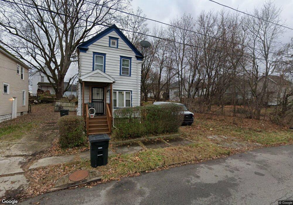
386 W Bartges St Akron, OH 44307
Sherbondy Hill NeighborhoodEstimated Value: $54,000 - $72,000
3
Beds
1
Bath
1,024
Sq Ft
$60/Sq Ft
Est. Value
About This Home
This home is located at 386 W Bartges St, Akron, OH 44307 and is currently estimated at $61,327, approximately $59 per square foot. 386 W Bartges St is a home located in Summit County with nearby schools including St. Bernard-St. Mary Elementary School.
Ownership History
Date
Name
Owned For
Owner Type
Purchase Details
Closed on
Jul 11, 2025
Sold by
Grice Darius K and Grice Regina G
Bought by
Darreg Properties Llc
Current Estimated Value
Purchase Details
Closed on
Apr 22, 2013
Sold by
Roland Kimberly A and Burkes Jonathan
Bought by
Grice Darius K
Purchase Details
Closed on
Oct 27, 2008
Sold by
Burks Johnathan Cory
Bought by
Boland Kimberly A
Purchase Details
Closed on
Nov 16, 2007
Sold by
Estate Of Claudia J Burks
Bought by
Roland Kimberly A and Burks Johnathan C
Create a Home Valuation Report for This Property
The Home Valuation Report is an in-depth analysis detailing your home's value as well as a comparison with similar homes in the area
Home Values in the Area
Average Home Value in this Area
Purchase History
| Date | Buyer | Sale Price | Title Company |
|---|---|---|---|
| Darreg Properties Llc | -- | None Listed On Document | |
| Grice Darius K | $500 | None Available | |
| Boland Kimberly A | -- | None Available | |
| Roland Kimberly A | -- | None Available |
Source: Public Records
Tax History
| Year | Tax Paid | Tax Assessment Tax Assessment Total Assessment is a certain percentage of the fair market value that is determined by local assessors to be the total taxable value of land and additions on the property. | Land | Improvement |
|---|---|---|---|---|
| 2025 | $546 | $9,310 | $2,373 | $6,937 |
| 2024 | $546 | $9,310 | $2,373 | $6,937 |
| 2023 | $546 | $9,310 | $2,373 | $6,937 |
| 2022 | $423 | $5,478 | $1,397 | $4,081 |
| 2021 | $424 | $5,478 | $1,397 | $4,081 |
| 2020 | $418 | $5,480 | $1,400 | $4,080 |
| 2019 | $474 | $4,380 | $1,920 | $2,460 |
| 2018 | $469 | $4,380 | $1,920 | $2,460 |
| 2017 | $431 | $4,380 | $1,920 | $2,460 |
| 2016 | $431 | $4,460 | $1,920 | $2,540 |
| 2015 | $431 | $4,460 | $1,920 | $2,540 |
| 2014 | $428 | $4,460 | $1,920 | $2,540 |
| 2013 | $451 | $4,880 | $1,920 | $2,960 |
Source: Public Records
Map
Nearby Homes
- 817 Raymond St
- 939 Lane St
- 963 Morningstar Dr
- 443 W Thornton St
- 994 Moeller Ave
- 628 Bellevue Ave
- 777 Ruth Ave
- 1011 Laurel Ave
- 834 Kenyon St
- 839 Kenyon St
- 1021 La Croix Ave
- 258 Oberlin Ct
- 108 Furnace Run Dr Unit 14108
- 849 Amherst St
- 163 Russell Ave
- 702 W Thornton St
- 776 Krause Ct
- 829 Yale St
- 837 Yale St
- 985 Diana Ave
- 382 W Bartges St
- 335 Keifer Ct
- 331 Keifer Ct
- 339 Keifer Ct
- 379 W Bartges St
- 347 Keifer Ct
- 387 W Bartges St
- 867 Raymond St
- 871 Raymond St
- 875 Raymond St
- 890 Nathan St
- 879 Raymond St
- 370 W Bartges St
- 881 Raymond St
- 369 W Bartges St
- 377 W Bartges St
- 851 Parsons Ct
- 849 Parsons Ct
- 889 Raymond St
- 889 Raymond St Unit A Down
Your Personal Tour Guide
Ask me questions while you tour the home.