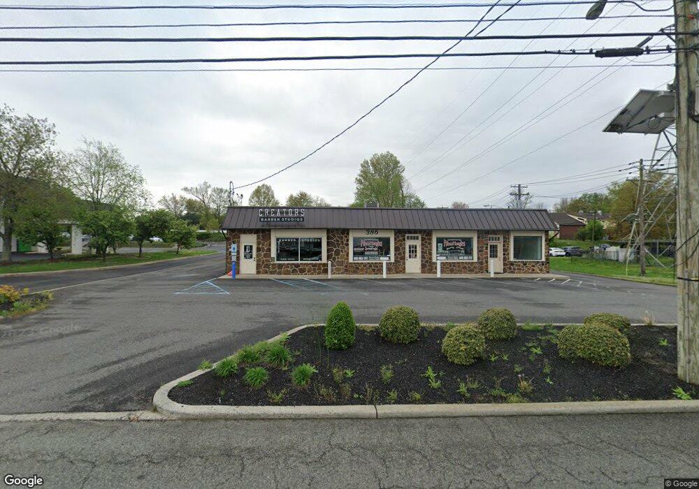
386 W Route 70 Marlton, NJ 08053
Estimated Value: $1,449,632
--
Bed
--
Bath
3,556
Sq Ft
$408/Sq Ft
Est. Value
About This Home
This home is located at 386 W Route 70, Marlton, NJ 08053 and is currently estimated at $1,449,632, approximately $407 per square foot. 386 W Route 70 is a home located in Burlington County with nearby schools including J. Harold Vanzant Elementary School, Frances Demasi Middle School, and Cherokee High School.
Ownership History
Date
Name
Owned For
Owner Type
Purchase Details
Closed on
May 19, 2017
Sold by
Cheranne Llc
Bought by
Rosetti Properties Llc
Current Estimated Value
Home Financials for this Owner
Home Financials are based on the most recent Mortgage that was taken out on this home.
Original Mortgage
$740,000
Outstanding Balance
$614,556
Interest Rate
4.05%
Mortgage Type
Commercial
Estimated Equity
$835,076
Purchase Details
Closed on
Jul 24, 2007
Sold by
Cheranne Llc
Bought by
The State Of New Jersey
Purchase Details
Closed on
Feb 27, 2006
Sold by
Marsh Suzanne J and Seiler Cheryl
Bought by
Cheranne Llc
Purchase Details
Closed on
Sep 30, 2005
Sold by
Marsh Suzanne J
Bought by
Marsh Suzanne J and Seiler Cheryl
Purchase Details
Closed on
Dec 18, 1996
Sold by
Seiler Joyce C
Bought by
Seiler Ersel G
Create a Home Valuation Report for This Property
The Home Valuation Report is an in-depth analysis detailing your home's value as well as a comparison with similar homes in the area
Home Values in the Area
Average Home Value in this Area
Purchase History
| Date | Buyer | Sale Price | Title Company |
|---|---|---|---|
| Rosetti Properties Llc | $762,500 | Foundation Title | |
| The State Of New Jersey | $88,000 | None Available | |
| Cheranne Llc | -- | None Available | |
| Marsh Suzanne J | -- | -- | |
| Seiler Ersel G | -- | -- |
Source: Public Records
Mortgage History
| Date | Status | Borrower | Loan Amount |
|---|---|---|---|
| Open | Rosetti Properties Llc | $740,000 |
Source: Public Records
Tax History Compared to Growth
Tax History
| Year | Tax Paid | Tax Assessment Tax Assessment Total Assessment is a certain percentage of the fair market value that is determined by local assessors to be the total taxable value of land and additions on the property. | Land | Improvement |
|---|---|---|---|---|
| 2025 | $14,910 | $436,600 | $172,000 | $264,600 |
| 2024 | $14,028 | $436,600 | $172,000 | $264,600 |
| 2023 | $14,028 | $436,600 | $172,000 | $264,600 |
| 2022 | $13,399 | $436,600 | $172,000 | $264,600 |
| 2021 | $13,085 | $436,600 | $172,000 | $264,600 |
| 2020 | $12,915 | $436,600 | $172,000 | $264,600 |
| 2019 | $12,810 | $436,600 | $172,000 | $264,600 |
| 2018 | $12,631 | $436,600 | $172,000 | $264,600 |
| 2017 | $12,482 | $436,600 | $172,000 | $264,600 |
| 2016 | $12,177 | $436,600 | $172,000 | $264,600 |
| 2015 | $11,963 | $436,600 | $172,000 | $264,600 |
| 2014 | $11,622 | $436,600 | $172,000 | $264,600 |
Source: Public Records
Map
Nearby Homes
- 38 Ashley Ct Unit 38
- 63 Banner Ct Unit 63
- 22 Hawk Ln
- 293 Ivy Ct
- 220 Deerpark Ct
- 607 Lindsey Ct
- 201 Empress Ct
- 128 Cambridge Ave
- 12 Princess Ave
- 118 Cambridge Ave
- 7 Quaker St
- 800 Marlowe Rd
- 100 Cambridge Ave
- 110 Conestoga Dr
- 1406 Jonathan Ln
- 108 W Burgess Rd
- 26 Regent Rd
- 319 Mimosa Dr
- 219 Conestoga Dr
- 5806 Red Haven Dr