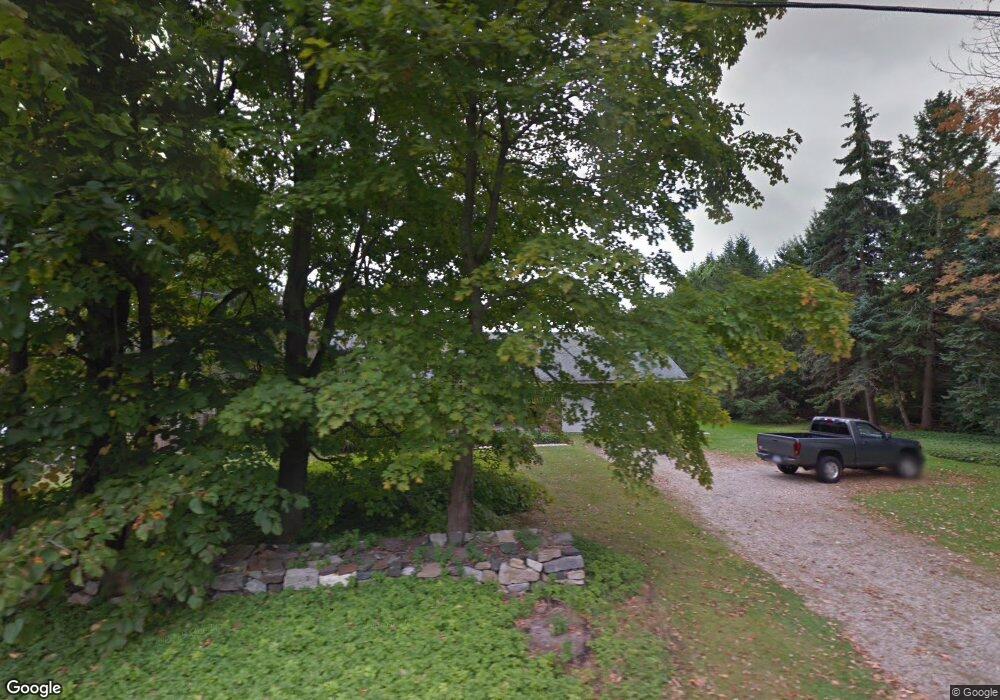
386 Westside Rd Torrington, CT 06790
Estimated Value: $302,141 - $364,000
2
Beds
1
Bath
1,304
Sq Ft
$255/Sq Ft
Est. Value
About This Home
This home is located at 386 Westside Rd, Torrington, CT 06790 and is currently estimated at $333,035, approximately $255 per square foot. 386 Westside Rd is a home located in Litchfield County with nearby schools including Torrington Middle School, Torrington High School, and St. John Paul the Great Academy.
Create a Home Valuation Report for This Property
The Home Valuation Report is an in-depth analysis detailing your home's value as well as a comparison with similar homes in the area
Home Values in the Area
Average Home Value in this Area
Tax History
| Year | Tax Paid | Tax Assessment Tax Assessment Total Assessment is a certain percentage of the fair market value that is determined by local assessors to be the total taxable value of land and additions on the property. | Land | Improvement |
|---|---|---|---|---|
| 2025 | $6,998 | $182,000 | $34,090 | $147,910 |
| 2024 | $5,407 | $112,710 | $34,120 | $78,590 |
| 2023 | $5,406 | $112,710 | $34,120 | $78,590 |
| 2022 | $5,313 | $112,710 | $34,120 | $78,590 |
| 2021 | $5,204 | $112,710 | $34,120 | $78,590 |
| 2020 | $5,204 | $112,710 | $34,120 | $78,590 |
| 2019 | $4,894 | $106,010 | $37,800 | $68,210 |
| 2018 | $4,894 | $106,010 | $37,800 | $68,210 |
| 2017 | $4,717 | $103,110 | $37,800 | $65,310 |
| 2016 | $4,717 | $103,110 | $37,800 | $65,310 |
| 2015 | $4,717 | $103,110 | $37,800 | $65,310 |
| 2014 | $5,199 | $143,150 | $65,060 | $78,090 |
Source: Public Records
Map
Nearby Homes
- 70 Greenfield Dr
- 112 Greenfield Dr
- 80 Baron Ln
- 349 Allen Rd Unit 45D
- 68 Westledge Terrace
- 305 Westledge Dr
- 155 Allen Rd
- 7 Ford Ln
- 85 Ford Ln
- 1739 Weed Rd
- 83 Chelsea Ct
- 0 Highland Ave Unit 24088105
- 58 Eggleston St
- 398 Funston Ave
- 1657 Weed Rd
- 146 Beechwood Ave
- 115 Beechwood Ave
- 80 Washington Ave
- 163 Beechwood Ave
- 108 Culvert St
Your Personal Tour Guide
Ask me questions while you tour the home.