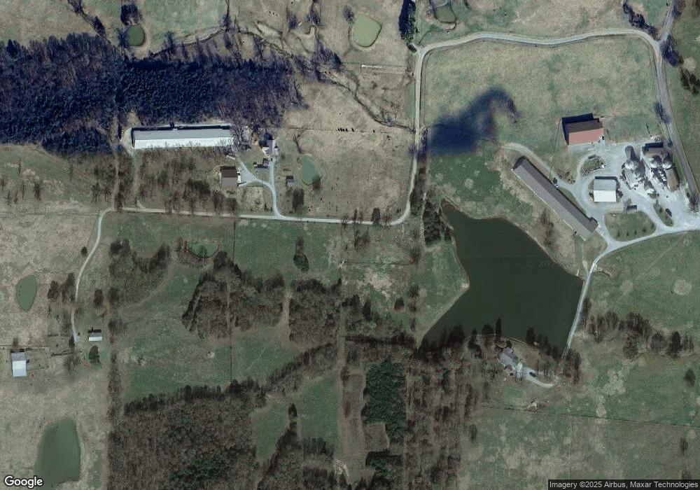
386 Woods Rd Ravenden Springs, AR 72460
Estimated Value: $32,558 - $34,000
--
Bed
1
Bath
1,152
Sq Ft
$29/Sq Ft
Est. Value
About This Home
This home is located at 386 Woods Rd, Ravenden Springs, AR 72460 and is currently estimated at $33,279, approximately $28 per square foot. 386 Woods Rd is a home located in Randolph County with nearby schools including Maynard Elementary School and Maynard High School.
Ownership History
Date
Name
Owned For
Owner Type
Purchase Details
Closed on
Mar 2, 2022
Sold by
Joshua L & Sharlene S Hostetler Family T
Bought by
Joshua L & Sharlene S Hostetler Family Trust
Current Estimated Value
Purchase Details
Closed on
Apr 20, 2017
Sold by
Iberia Bank
Bought by
Hostetler Josh
Purchase Details
Closed on
Jan 20, 2011
Bought by
Hart To Yancy
Purchase Details
Closed on
Oct 3, 2003
Bought by
Browne-Hart Gail
Purchase Details
Closed on
Aug 27, 2003
Bought by
Cole To Hart
Purchase Details
Closed on
Jun 27, 2003
Bought by
Browne To Hart
Purchase Details
Closed on
Aug 8, 1996
Bought by
Browne Mary and Browne Herbert
Purchase Details
Closed on
Dec 11, 1995
Bought by
Browne To Browne Trustees
Purchase Details
Closed on
Jan 1, 1985
Bought by
Davis To Browne and Davis Contract
Create a Home Valuation Report for This Property
The Home Valuation Report is an in-depth analysis detailing your home's value as well as a comparison with similar homes in the area
Home Values in the Area
Average Home Value in this Area
Purchase History
| Date | Buyer | Sale Price | Title Company |
|---|---|---|---|
| Joshua L & Sharlene S Hostetler Family Trust | -- | Hogle Law Firm Pllc | |
| Hostetler Josh | $18,950 | None Available | |
| Hart To Yancy | $35,000 | -- | |
| Browne-Hart Gail | -- | -- | |
| Browne-Hart Gail | -- | -- | |
| Cole To Hart | -- | -- | |
| Browne To Hart | -- | -- | |
| Browne Mary | -- | -- | |
| Browne To Browne Trustees | -- | -- | |
| Davis To Browne | -- | -- |
Source: Public Records
Tax History Compared to Growth
Tax History
| Year | Tax Paid | Tax Assessment Tax Assessment Total Assessment is a certain percentage of the fair market value that is determined by local assessors to be the total taxable value of land and additions on the property. | Land | Improvement |
|---|---|---|---|---|
| 2024 | $93 | $2,275 | $2,275 | $0 |
| 2023 | $93 | $2,275 | $2,275 | $0 |
| 2022 | $93 | $2,275 | $2,275 | $0 |
| 2021 | $93 | $2,275 | $2,275 | $0 |
| 2020 | $252 | $6,185 | $2,275 | $3,910 |
| 2019 | $252 | $6,185 | $2,275 | $3,910 |
| 2018 | $252 | $6,185 | $2,275 | $3,910 |
| 2017 | $3 | $4,595 | $685 | $3,910 |
| 2016 | $3 | $4,595 | $685 | $3,910 |
| 2015 | $3 | $4,595 | $685 | $3,910 |
| 2014 | $3 | $4,595 | $685 | $3,910 |
Source: Public Records
Map
Nearby Homes
- 1929 Stubblefield Rd
- 0 County Road 529
- TBD Highway 90 W
- 771 Red Rock Trail
- TBD Saienni Rd
- 0 Blackwell Den Rd
- 3601 Palestine Rd
- 339 Township Rd
- 5873 Highway 90 W
- 351 Township Rd
- 681 Timber Trail
- TBD Springview Rd
- 5600 Baker Den Rd
- 0 Cokley Rd
- 0000 Cokley Rd
- 808 Shiloh Rd
- 268 Bermuda Trail
- 85 Baker Den Rd
- TBD Bruce Mitchell Rd
- 40 Bruce Mitchell Rd
