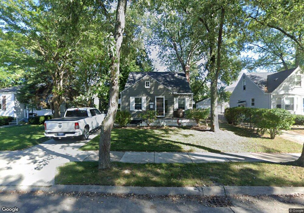
3860 Cummings Ave Berkley, MI 48072
Estimated Value: $284,026 - $340,000
3
Beds
1
Bath
972
Sq Ft
$318/Sq Ft
Est. Value
About This Home
This home is located at 3860 Cummings Ave, Berkley, MI 48072 and is currently estimated at $308,757, approximately $317 per square foot. 3860 Cummings Ave is a home located in Oakland County with nearby schools including Pattengill School, Anderson Middle School, and Berkley High School.
Ownership History
Date
Name
Owned For
Owner Type
Purchase Details
Closed on
Apr 15, 2011
Sold by
Oneil Sandra and The Estate Of Gertrude Rita Wi
Bought by
Macdonald Matthew
Current Estimated Value
Home Financials for this Owner
Home Financials are based on the most recent Mortgage that was taken out on this home.
Original Mortgage
$60,915
Outstanding Balance
$41,670
Interest Rate
4.62%
Mortgage Type
FHA
Estimated Equity
$267,087
Purchase Details
Closed on
Sep 3, 2004
Sold by
Young Jennifer Lynn
Bought by
Widlak Gertrude
Purchase Details
Closed on
Aug 31, 2000
Sold by
Widlak Gertrude
Bought by
Young Jennifer L
Create a Home Valuation Report for This Property
The Home Valuation Report is an in-depth analysis detailing your home's value as well as a comparison with similar homes in the area
Home Values in the Area
Average Home Value in this Area
Purchase History
| Date | Buyer | Sale Price | Title Company |
|---|---|---|---|
| Macdonald Matthew | $62,500 | Attorneys Title Agency Llc | |
| Widlak Gertrude | -- | -- | |
| Young Jennifer L | -- | -- |
Source: Public Records
Mortgage History
| Date | Status | Borrower | Loan Amount |
|---|---|---|---|
| Open | Macdonald Matthew | $60,915 |
Source: Public Records
Tax History Compared to Growth
Tax History
| Year | Tax Paid | Tax Assessment Tax Assessment Total Assessment is a certain percentage of the fair market value that is determined by local assessors to be the total taxable value of land and additions on the property. | Land | Improvement |
|---|---|---|---|---|
| 2024 | $2,770 | $126,020 | $0 | $0 |
| 2023 | $2,496 | $116,620 | $0 | $0 |
| 2022 | $2,494 | $105,360 | $0 | $0 |
| 2021 | $2,439 | $97,310 | $0 | $0 |
| 2020 | $2,333 | $93,380 | $0 | $0 |
| 2019 | $3,279 | $89,050 | $0 | $0 |
| 2018 | $3,195 | $84,200 | $0 | $0 |
| 2017 | $3,151 | $79,850 | $0 | $0 |
| 2016 | $3,174 | $74,960 | $0 | $0 |
| 2015 | -- | $68,980 | $0 | $0 |
| 2014 | -- | $61,790 | $0 | $0 |
| 2011 | -- | $53,540 | $0 | $0 |
Source: Public Records
Map
Nearby Homes
- 3912 Ellwood Ave
- 3774 Greenfield Rd
- 3952 Greenfield Rd
- 3659 Ellwood Ave
- 3625 Ellwood Ave
- 3578 Bacon Ave
- 3515 Bacon Ave
- 3528 Phillips Ave
- 4048 Royal Ave
- 3678 Royal Ave
- 3560 Royal Ave
- 3734 Buckingham Ave
- 3542 Royal Ave
- 29148 Fairfax St
- 3858 Tyler Ave
- 4236 Buckingham Ave
- 29249 Everett St
- 29915 Everett St
- 29945 Everett St
- 28740 Fairfax St
- 3876 Cummings Ave
- 3846 Cummings Ave
- 3890 Cummings Ave
- 3830 Cummings Ave
- 3859 Prairie Ave
- 3875 Prairie Ave
- 3845 Prairie Ave
- 3912 Cummings Ave
- 3814 Cummings Ave
- 3889 Prairie Ave
- 3829 Prairie Ave
- 3859 Cummings Ave
- 3845 Cummings Ave
- 3875 Cummings Ave
- 3911 Prairie Ave
- 3829 Cummings Ave
- 3889 Cummings Ave
- 3932 Cummings Ave
- 3796 Cummings Ave
- 3813 Cummings Ave